MyTopo
Ingalls Indiana US Topo Map
Couldn't load pickup availability
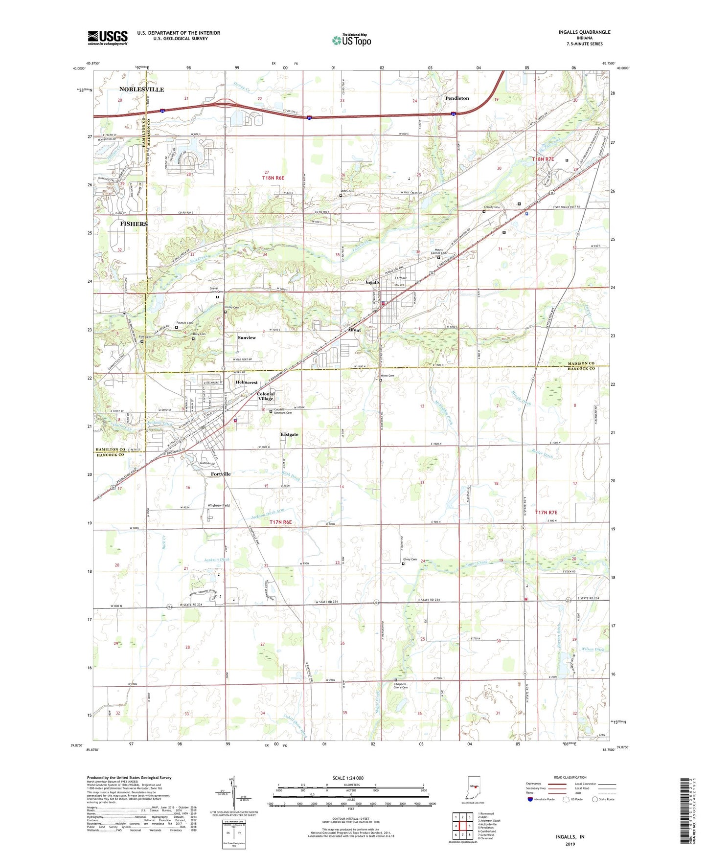
2022 topographic map quadrangle Ingalls in the state of Indiana. Scale: 1:24000. Based on the newly updated USGS 7.5' US Topo map series, this map is in the following counties: Hancock, Madison, Hamilton. The map contains contour data, water features, and other items you are used to seeing on USGS maps, but also has updated roads and other features. This is the next generation of topographic maps. Printed on high-quality waterproof paper with UV fade-resistant inks.
Quads adjacent to this one:
West: McCordsville
Northwest: Riverwood
North: Lapel
Northeast: Anderson South
East: Pendleton
Southeast: Cleveland
South: Greenfield
Southwest: Cumberland
This map covers the same area as the classic USGS quad with code o39085h7.
Contains the following named places: Alfont, Barrett Ditch, Beech Grove Church, Beeler Ditch, Cahill Shore Ditch, Caudell - Simmons Cemetery, Center School, Chappell - Shore Cemetery, Colonial Village, Correctional Industrial Facility, Crosley Cemetery, Denny Corner, Doty Cemetery, Eastgate, Eden, Fausset Cemetery, Fort Cemetery, Fortville, Fortville Park, Fortville Police Department, Fortville Post Office, Fortville Volunteer Fire Department, Fortville-Vernon Townsip Library, Foster Branch, Gravel Lawn Cemetery, Green Township Volunteer Fire Department, Hancock County Sheriff Office, Helmcrest, Hiday Cemetery, Idlewold, Indiana State Police Department District 51, Ingalls, Ingalls Fire Department, Ingalls Police Department, Ingalls Post Office, Jackson Ditch, Jackson Ditch Arm, Jones Cemetery, Lick Creek, McFadden Ditch, Mendon Church, Mingle Ditch, Mount Carmel Cemetery, Mount Carmel Church, Mount Vernon Elementary School, Mount Vernon High School, Mount Vernon Middle School, Olvey Cemetery, Pendleton Correctional Facility, Pendleton Juvenile Correctional Facility, Rash Ditch, Reeves Sand and Gravel Pit, Seals Ambulance Service, Sunview, Town of Fortville, Town of Ingalls, Township of Green, Township of Vernon, Whybrew Field, Wilson Ditch, Wynn Cemetery, ZIP Codes: 46040, 46048


