MyTopo
Palmer Indiana US Topo Map
Couldn't load pickup availability
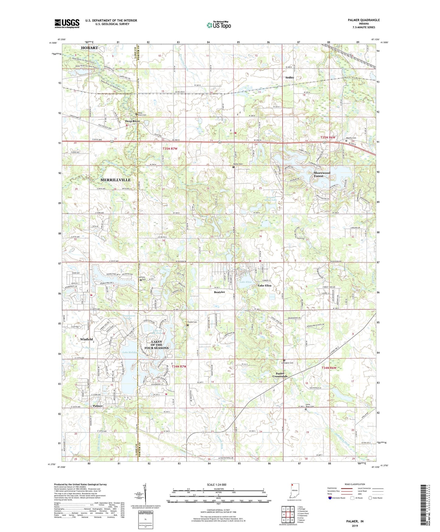
2022 topographic map quadrangle Palmer in the state of Indiana. Scale: 1:24000. Based on the newly updated USGS 7.5' US Topo map series, this map is in the following counties: Porter, Lake. The map contains contour data, water features, and other items you are used to seeing on USGS maps, but also has updated roads and other features. This is the next generation of topographic maps. Printed on high-quality waterproof paper with UV fade-resistant inks.
Quads adjacent to this one:
West: Crown Point
Northwest: Gary
North: Portage
Northeast: Chesterton
East: Valparaiso
Southeast: Kouts
South: Hebron
Southwest: Leroy
This map covers the same area as the classic USGS quad with code o41087d2.
Contains the following named places: Ainsworth Deep River Fire Department, Beatrice, Big Bass Lake, Blachly Cemetery, Church of the Four Seasons, Cross of Christ Lutheran Church, Deep River, Deep River Cemetery, Deep River County Park, Faith Baptist Church, Feit Greenhouse and Farm, Frame Cemetery, Guernsey Cemetery, Lake Eliza, Lake Holiday, Lake Louise, Lake Louise Dam, Lake of Four Seasons Station 1, Lake on the Green, Lakes of the Four Seasons, Lakes of the Four Seasons Census Designated Place, Lakes of the Four Seasons Golf Course, Lakes of the Four Seasons Volunteer Fire Force, Lakes of the Four Seasons Volunteer Fire Force Station 3600, Lantz Shurr Cemetery, Ludington Cemetery, Ludington Ditch, Mosier Cemetery, Norman Olson Lake, Norman Olson Lake Dam, Palmer, Porter Crossroads, Porter Lakes School, Porter Township Volunteer Fire Department, Saint Elizabeth Ann Seton Roman Catholic Church, Salem Church, Sedley, Shorewood Forest, Shorewood Forest Census Designated Place, South Lake Church of the Nazarene, Township of Porter, Township of Union, Trouthaven Lake, Union Center Elementary School, Union Township Middle School, Union Township Volunteer Fire and Rescue Station 2, Wheeler High School, ZIP Code: 46385


