MyTopo
Crown Point Indiana US Topo Map
Couldn't load pickup availability
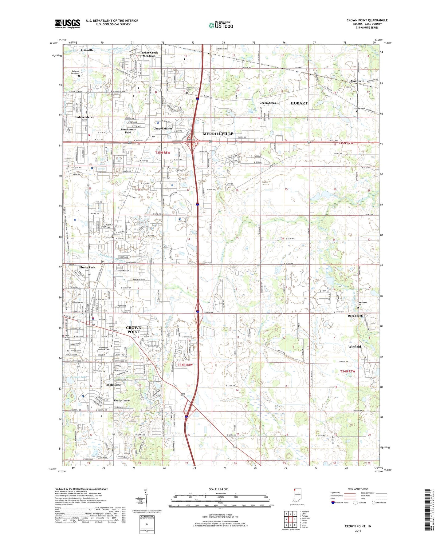
2022 topographic map quadrangle Crown Point in the state of Indiana. Scale: 1:24000. Based on the newly updated USGS 7.5' US Topo map series, this map is in the following counties: Lake. The map contains contour data, water features, and other items you are used to seeing on USGS maps, but also has updated roads and other features. This is the next generation of topographic maps. Printed on high-quality waterproof paper with UV fade-resistant inks.
Quads adjacent to this one:
West: Saint John
Northwest: Highland
North: Gary
Northeast: Portage
East: Palmer
Southeast: Hebron
South: Leroy
Southwest: Lowell
This map covers the same area as the classic USGS quad with code o41087d3.
Contains the following named places: Ainsworth, Broadway Center, Calumet Park Cemetery, Century Mall, Chapel Manor, Chester Cemetery, Christ Community Church, City of Crown Point, Collins Park, Crown of Life Chapel, Crown Point, Crown Point Community Library, Crown Point Fire Rescue Station 1500, Crown Point High School, Crown Point Police Department, Crown Point Post Office, Deep River Church of Christ, Deer Creek, Deer Creek Cemetery, Dwight D Eisenhower Elementary School, Eastlake Baptist Church, Fancher Lake, First United Pentecostal Church, Forest Hill Park, Franciscan Health Crown Point Medical Center, Gentle Manor Estates, Green Acres, Haan School, Hobart Fire Department Station 4, Homer Iddings Elementary School, Independence Hill, Independence Park, Innsbrook Country Club, Jerry Ross Park, John Wood Elementary School, Jonas E Salk Elementary School, Kaiser Ditch, Kaiser Park, Kirk Airport, Lake County Convalescent Home, Lake County Fairground, Lake County Government Center, Lake County Greenhouse Garden, Lake County Juvenile Center, Lake County Sheriff Bureau-Id, Lake Region Christian Assembly Church Camp, Liberty Park, Main Beaver Dam Ditch, Maplewood Memorial Cemetery, Merrillville, Merrillville Cemetery, Merrillville Fire Department Station 71, Merrillville Fire Department Station 72, Merrillville High School, Merrillville Police Department, Merrillville Post Office, Methodist Hospitals - Southlake Campus, Niles Ditch, Our Lady of Consolation Church, Pierce Middle School, Pinnacle Hospital, Regional Mental Health Center - Strawhun Center, Robert Taft Middle School, Rosenbaum Park, Ross Township Fire Service Station 5, Saint Anthony Heliport, Saint Elijah Serbian Church, Saint Marys Cemetery, Saint Marys Church, Saint Marys School, Saint Matthias Church, Saint Sava Serbian Orthodox Church, Saverman Woods Park, Sawyer College, Shady Lawn, Smith Ditch, Solon Robinson Elementary School, South Ward School, Southlake Center for Mental Health, Southlake Mall, Southlake Speedway, Southmoor Park, Summertree Golf Club, Tahoe Park, Thomas Street Park, Timothy Ball Elementary School, Town of Merrillville, Town of Winfield, Township of Center, Township of Ross, Township of Winfield, Trinity Evangelical Lutheran Church, Trinity Evangelical Lutheran School, Trinity Free Methodist Church, Turkey Creek Golf Course, Turkey Creek Meadows, Wald View, Washington School, Wells Street Park, Winfield, Winfield Elementary School, YMCA, Youche Country Club, ZIP Codes: 46307, 46410


