MyTopo
Servia Indiana US Topo Map
Couldn't load pickup availability
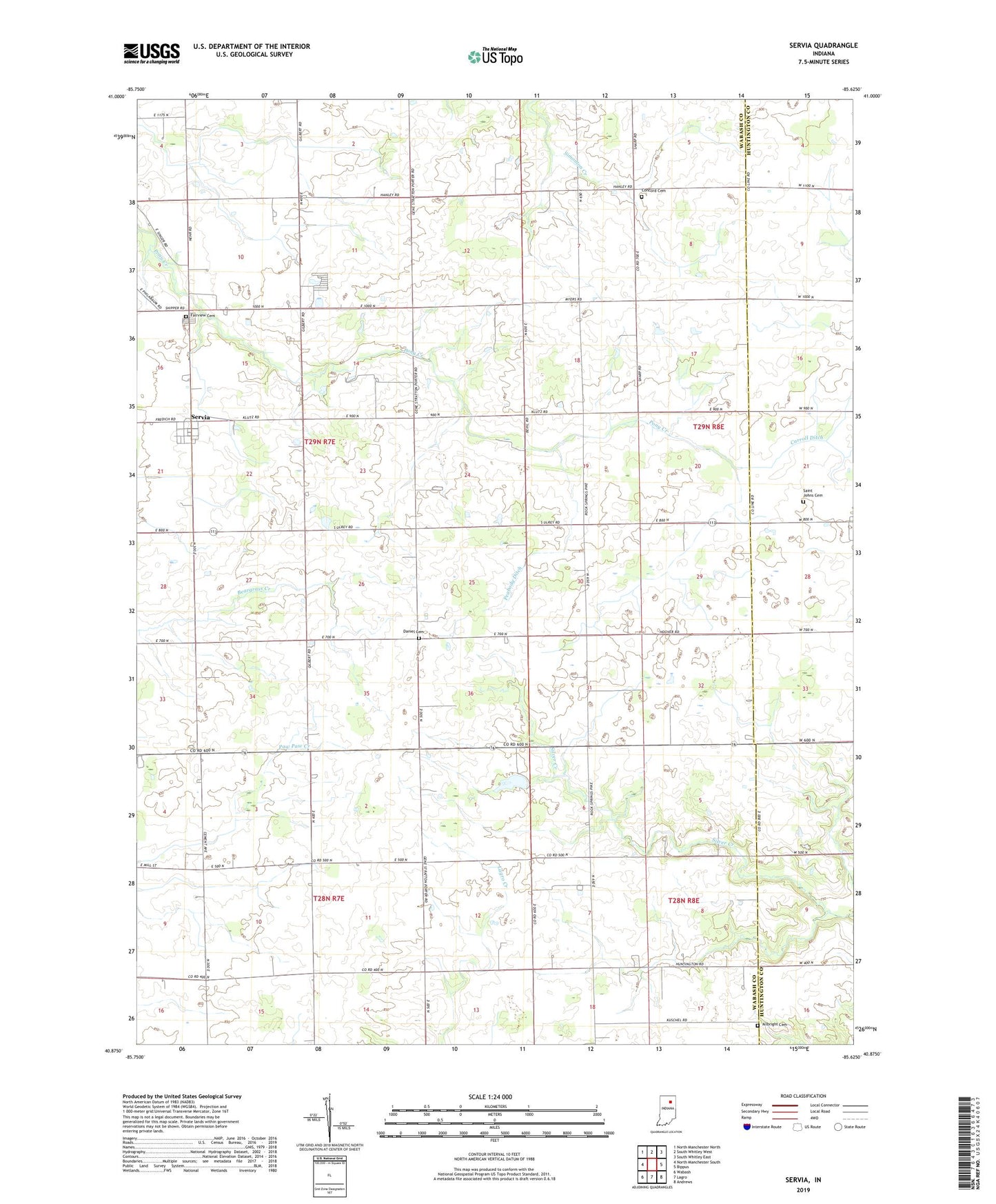
2022 topographic map quadrangle Servia in the state of Indiana. Scale: 1:24000. Based on the newly updated USGS 7.5' US Topo map series, this map is in the following counties: Wabash, Huntington. The map contains contour data, water features, and other items you are used to seeing on USGS maps, but also has updated roads and other features. This is the next generation of topographic maps. Printed on high-quality waterproof paper with UV fade-resistant inks.
Quads adjacent to this one:
West: North Manchester South
Northwest: North Manchester North
North: South Whitley West
Northeast: South Whitley East
East: Bippus
Southeast: Andrews
South: Lagro
Southwest: Wabash
This map covers the same area as the classic USGS quad with code o40085h6.
Contains the following named places: Allbright Cemetery, Concord Cemetery, Daniel Cemetery, Fairview Cemetery, Michel Hog Farm, Peabody Ditch, Rosen Hog Farm, Saint Johns Cemetery, Saint Pauls Church, Salem Church, Servia, Servia Airport, Silver Creek Church, Township of Chester, ZIP Code: 46990