MyTopo
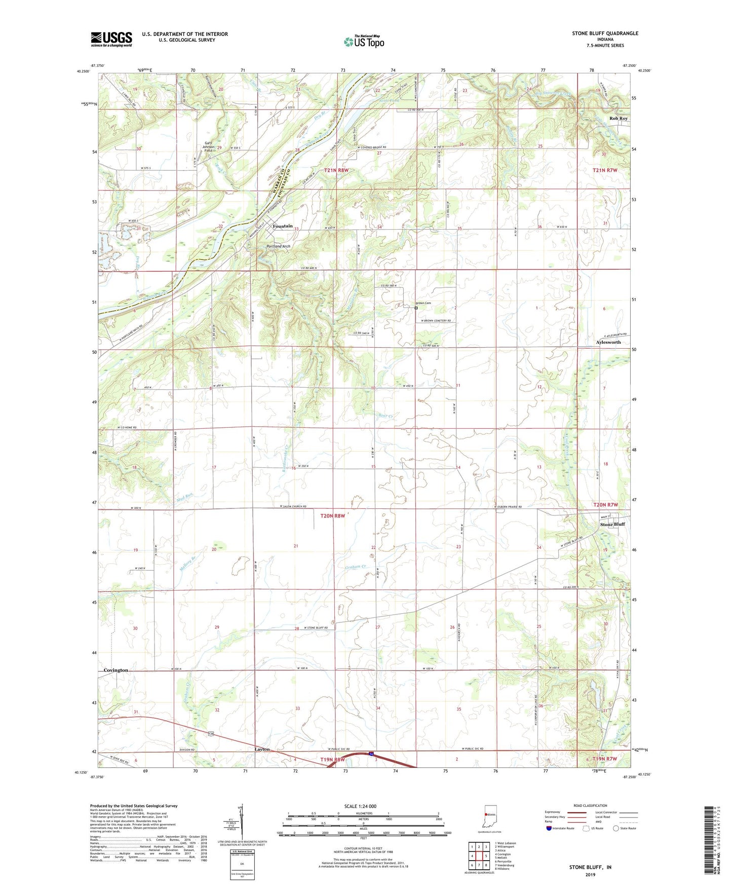
Stone Bluff Indiana US Topo Map
Couldn't load pickup availability
2022 topographic map quadrangle Stone Bluff in the state of Indiana. Scale: 1:24000. Based on the newly updated USGS 7.5' US Topo map series, this map is in the following counties: Fountain, Warren. The map contains contour data, water features, and other items you are used to seeing on USGS maps, but also has updated roads and other features. This is the next generation of topographic maps. Printed on high-quality waterproof paper with UV fade-resistant inks.
Quads adjacent to this one:
West: Covington
Northwest: West Lebanon
North: Williamsport
Northeast: Attica
East: Mellott
Southeast: Hillsboro
South: Veedersburg
Southwest: Perrysville
This map covers the same area as the classic USGS quad with code o40087b3.
Contains the following named places: Bear Creek, Bodley Branch, Brown Cemetery, Clear Branch, Dry Branch, Fountain, Gary Johnson Field, Layton, Little Shawnee Creek, Marquess Branch, Osborn Prairie Church, Portland Arch, Rattlesnake Creek, Rattlesnake Hollow, Rock Creek, Salem Church, Scott Pond, Stone Bluff, Township of Shawnee, Township of Troy, Township of Van Buren