MyTopo
Attica Indiana US Topo Map
Couldn't load pickup availability
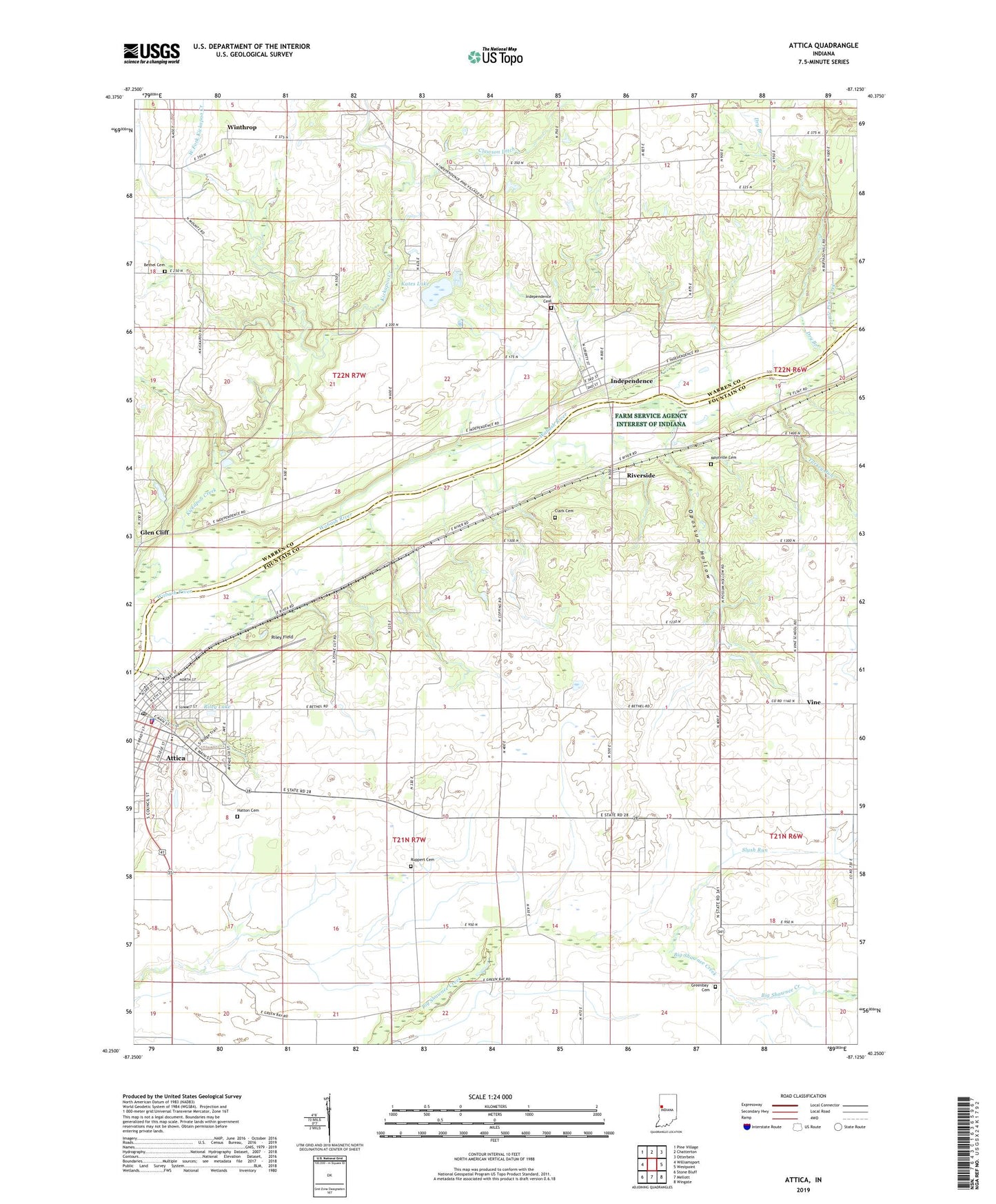
2022 topographic map quadrangle Attica in the state of Indiana. Scale: 1:24000. Based on the newly updated USGS 7.5' US Topo map series, this map is in the following counties: Fountain, Warren. The map contains contour data, water features, and other items you are used to seeing on USGS maps, but also has updated roads and other features. This is the next generation of topographic maps. Printed on high-quality waterproof paper with UV fade-resistant inks.
Quads adjacent to this one:
West: Williamsport
Northwest: Pine Village
North: Chatterton
Northeast: Otterbein
East: Westpoint
Southeast: Wingate
South: Mellott
Southwest: Stone Bluff
This map covers the same area as the classic USGS quad with code o40087c2.
Contains the following named places: Attica, Attica Fire Department, Attica Police Department, Attica Post Office, Attica Volunteer Fire Department, Banning Corner, Bethel Cemetery, Bethel Church, City of Attica, Clark Cemetery, Clawson Ditch, Davis Pond, Dry Branch, Glen Cliff, Greenbay Cemetery, Grindstone Creek, Harrison Hills Country Club, Hatton Cemetery, Independence, Independence Cemetery, Independence Census Designated Place, Kates Lake, Kickapoo Creek, Laotto Elementary School, Little Pine Creek, Maysville Cemetery, Maysville Crossing, Opossum Hollow, Ravine Park, Riley Field, Riley Lake, Riverside, Ruppert Cemetery, Slush Run, Township of Davis, Township of Logan, Township of Warren, Turkey Run, Vine, West Fork Kickapoo Creek, Winthrop, ZIP Code: 47918