MyTopo
Vevay North Indiana US Topo Map
Couldn't load pickup availability
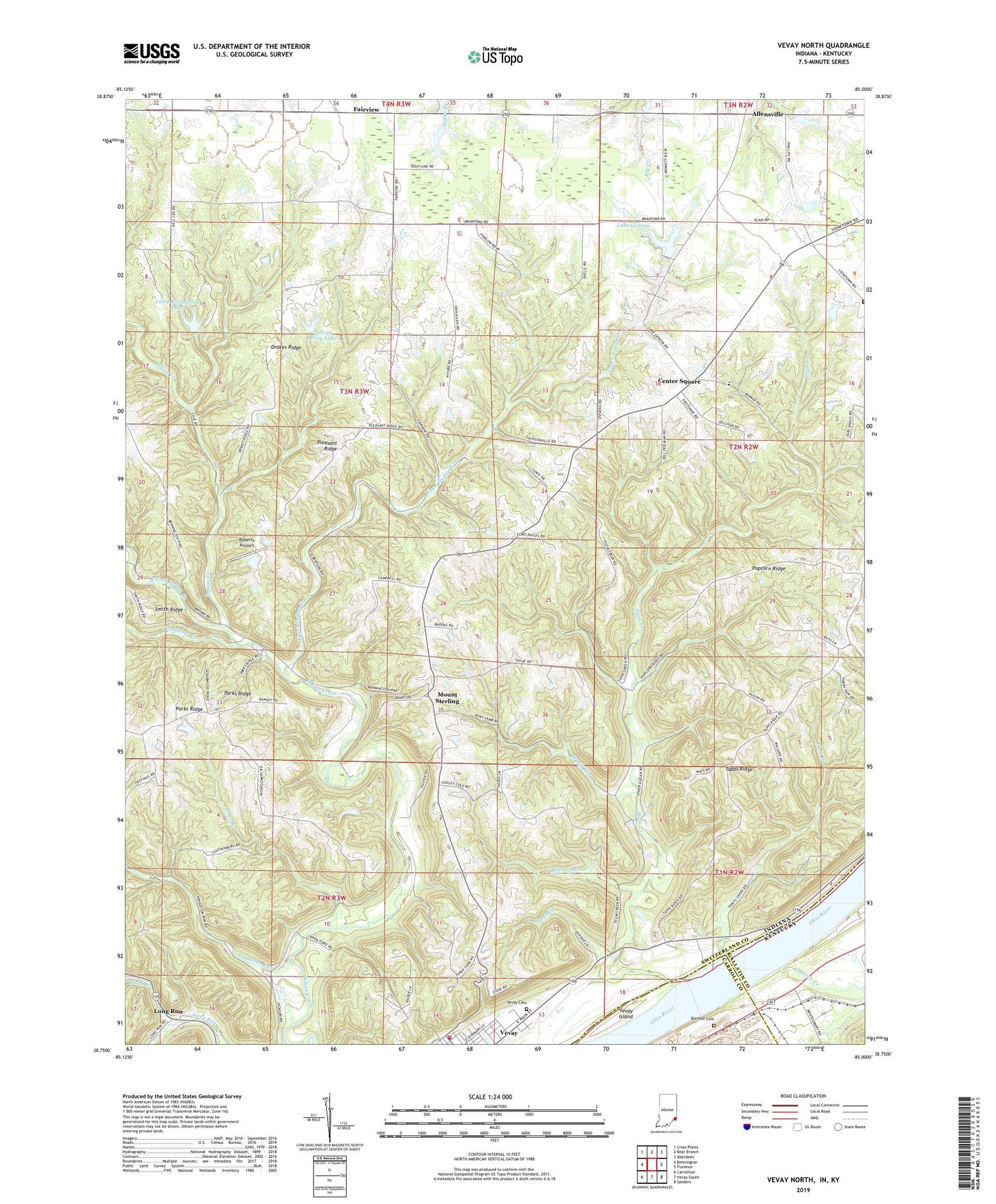
2022 topographic map quadrangle Vevay North in the states of Indiana, Kentucky. Scale: 1:24000. Based on the newly updated USGS 7.5' US Topo map series, this map is in the following counties: Switzerland, Gallatin, Carroll. The map contains contour data, water features, and other items you are used to seeing on USGS maps, but also has updated roads and other features. This is the next generation of topographic maps. Printed on high-quality waterproof paper with UV fade-resistant inks.
Quads adjacent to this one:
West: Bennington
Northwest: Cross Plains
North: Bear Branch
Northeast: Aberdeen
East: Florence
Southeast: Sanders
South: Vevay South
Southwest: Carrollton
Contains the following named places: Abes Branch, Agniels Creek, Allensville, Beetree Run, Blanton Cemetery, Broad Run, Camp Livingston, Camp Livingston Lake, Camp Livingston Lake Dam, Center Square, Drakes Ridge, Edwin Pray Lake, Edwin Pray Lake Dam, Fairview, Fredonia Church, Halls Branch, Hog Run, Hunt Creek, Jacksonville, Jeff - Craig Township Fire Department, Kentucky Utilities Power Plant, Lake Geneva, Lake Geneva Dam, Long Run, Mount Sterling, Parks Ridge, Pendleton Run, Pleasant Ridge, Plum Creek, Plum Creek Church, Popcorn Ridge, Roberts Airport, Stow Cemetery, Switzerland County, Switzerland County Elementary School, Switzerland County Emergency Response Service, Tapps Ridge, Township of Cotton, Township of Jefferson, Tumblebug Creek, Upper Indian Creek, Vevay Cemetery, Vevay Island, WAVV-FM (Vevay), West Fork Indian Creek, White Water Camp, ZIP Code: 47043


