MyTopo
Zionsville Indiana US Topo Map
Couldn't load pickup availability
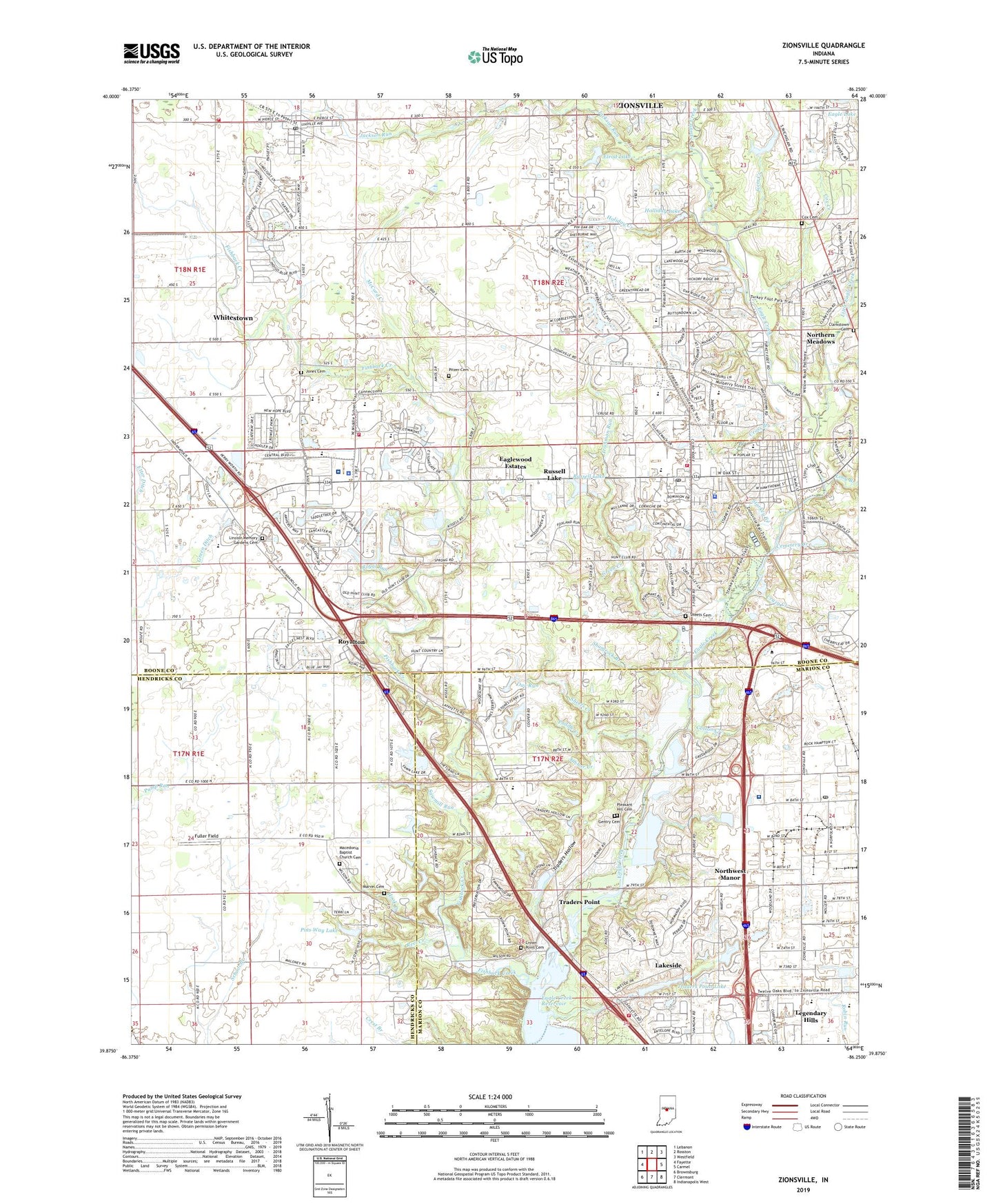
2022 topographic map quadrangle Zionsville in the state of Indiana. Scale: 1:24000. Based on the newly updated USGS 7.5' US Topo map series, this map is in the following counties: Boone, Marion, Hendricks. The map contains contour data, water features, and other items you are used to seeing on USGS maps, but also has updated roads and other features. This is the next generation of topographic maps. Printed on high-quality waterproof paper with UV fade-resistant inks.
Quads adjacent to this one:
West: Fayette
Northwest: Lebanon
North: Rosston
Northeast: Westfield
East: Carmel
Southeast: Indianapolis West
South: Clermont
Southwest: Brownsburg
This map covers the same area as the classic USGS quad with code o39086h3.
Contains the following named places: Allens Acres, Anchor Creek, Block Creek, Boone Creek, Boone Village Shopping Center, Bushs Run, Cemetery Creek, Central School, Christ Church, Clair Brook, Clarkstown Cemetery, Cotton Creek, Cox Cemetery, Cox Creek, Crazy Creek, Cross Branch, Crown Point Cemetery, Dow Venture Center, Eagle Creek Park, Eaglewood Estates, Ebenezer Baptist Church, Elrod Lake, Elrod Lake Dam, Etter Ditch, Fishback Creek, Fox Hollow, Fuller Field, Gem Creek, Gentry Cemetery, Green Creek, Green Ditch, Hamilton, Hawthornes At The Crossing, Holiday Creek, Holliday Lake, Holliday Lake Dam, Hook Creek, Hopewell Creek, Indiana Orthopedic Hospital, Irishman Run, Jackson Run, Jennings Park, Jones Cemetery, Lakeside, Legendary Hills, Lincoln Junior High School, Lincoln Memory Gardens Cemetery, Little Eagle Creek, Long Branch, Lost Drain, Lost Run, Macedonia Baptist Church Cemetery, Macedonia Church, Marvel Cemetery, McCord Creek, McCurdy Creek, Munce Art Center, Nancy Burton Memorial Park, New Augusta Post Office, Northern Meadows, Northern Technology Center, Northwest Business Park, Northwest Manor, Oar Run, Ohio Valley Institute Camp, Paddle Creek, Park 100 Innerpark Industrial Park, Pee Wee Creek, Pike High School, Pike Township Fire Department Station 62, Pins Way Lake, Pins Way Lake Dam, Pitzer Cemetery, Pleasant Hill Cemetery, Pleasant View Church, Pleasant View Elementary School, Pump Run, Reel Creek, Robbins Industrial Park, Royal Run, Royalton, Russell Branch, Russell Lake, Saint Francis Episcopal Church, Saint Marks Lutheran Church, Salem Church, Sawmill Run, Schooler Creek, Shamrock Branch, Sheets Cemetery, Sheets Creek, Sink Creek, Sinker Creek, Starkey Branch, State of Indiana, Stonegate, Sullivan Museum, The Woodlands, Town of Whitestown, Town of Zionsville, Township of Eagle, Township of Pike, Traders Hollow, Traders Point, Traders Point Lake, Traders Point Lake Dam, Warren Lake Dam, Watts Tree Farm, Weaver Airport, Whitestown, Whitestown Fire and Rescue Station 71, Whitestown Metropolitan Police Department, Whitestown Post Office, Whitestown United Methodist Church, WIBC-AM (Indianapolis), Zion Medical Center, Zionsville, Zionsville Christian Church, Zionsville Community High School, Zionsville Fire Department Station 91, Zionsville Golf Course, Zionsville Industrial Park, Zionsville Lower Middle School, Zionsville Middle School, Zionsville Police Department, Zionsville Post Office, Zionsville United Methodist Church, Zionsville Upper Elementary School, ZIP Codes: 46077, 46278


