MyTopo
Bonaparte Iowa US Topo Map
Couldn't load pickup availability
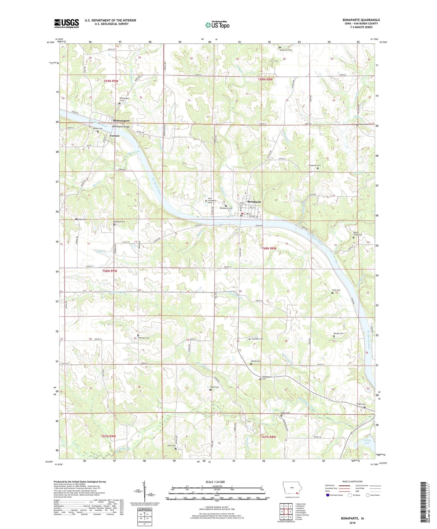
2022 topographic map quadrangle Bonaparte in the state of Iowa. Scale: 1:24000. Based on the newly updated USGS 7.5' US Topo map series, this map is in the following counties: Van Buren. The map contains contour data, water features, and other items you are used to seeing on USGS maps, but also has updated roads and other features. This is the next generation of topographic maps. Printed on high-quality waterproof paper with UV fade-resistant inks.
Quads adjacent to this one:
West: Keosauqua
Northwest: Mount Zion
North: Stockport
Northeast: Hillsboro
East: Farmington
Southeast: Croton
South: Anson
Southwest: Mount Sterling
This map covers the same area as the classic USGS quad with code o40091f7.
Contains the following named places: Baker Creek, Bear Creek, Bentonsport, Bentonsport Academy, Bentonsport Bridge, Bentonsport Cemetery, Bentonsport Post Office, Bentonsport Presbyterian Church, Bentonsport River-Side County Park, Bentonsport Timber Area, Bonaparte, Bonaparte Baptist Church, Bonaparte Cemetery, Bonaparte City Hall, Bonaparte City Park, Bonaparte Fire Department, Bonaparte Post Office, Bonaparte Presbyterian Church, Bonaparte Public Library, Bonaparte United Methodist Church, Boyer, Boyer Cemetery, Bradford Cemetery, Cave Cemetery, Chapman Cemetery, Christie Creek, City of Bonaparte, Coon Creek, Des Moines River Access, Dulin Cemetery, Flatrock Creek, Harmony Elementary School, Helwig Cemetery, Holsworth Cemetery, Honey Creek, Indian Lake, Indian Lake Park, Lena Post Office, Lexington, Lexington Creek, Lindsay Wilderness Area, Little Indian Creek, Mud Creek, Neumann Cemetery, New Lexington Cemetery, Palestine, Potters Branch, Preen Cemetery, Reeds Creek, Reed's Creek Cemetery, Rhodes Cemetery, Robb Cemetery, Slaughter Creek, Steinmeyer Cemetery, Thomas Rhodes Historical Marker, Thomson Cemetery, Township of Bonaparte, Township of Farmington, Van Buren County Hospital and Clinic, Vernon, Vernon Cemetery, Vernon Post Office, Vernon School, White Cemetery, White Oak Creek, White Timber Area, Willits Post Office, Wright Cemetery, ZIP Code: 52620


