MyTopo
Croton Iowa US Topo Map
Couldn't load pickup availability
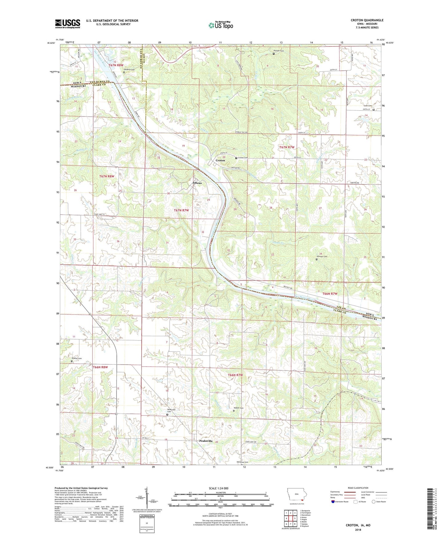
2022 topographic map quadrangle Croton in the states of Missouri, Iowa. Scale: 1:24000. Based on the newly updated USGS 7.5' US Topo map series, this map is in the following counties: Lee, Clark, Van Buren. The map contains contour data, water features, and other items you are used to seeing on USGS maps, but also has updated roads and other features. This is the next generation of topographic maps. Printed on high-quality waterproof paper with UV fade-resistant inks.
Quads adjacent to this one:
West: Anson
Northwest: Bonaparte
North: Farmington
Northeast: Donnellson
East: Argyle
Southeast: Wayland
South: Kahoka
Southwest: Medill
Contains the following named places: Amos Glover Historical Marker, Athens, Athens State Park, Brick Church, Cedar College School, Cedar Creek, Cook Cemetery, Crooked Creek, Croton, Croton Cemetery, Croton Civil War Memorial Park, Croton Post Office, Dumas, Grants Creek, Grover College School, Highland School, Johnson Cemetery, Lick Creek, Little Rollins Creek, Peaksville, Peaksville Cemetery, Pioneer Cemetery, Prairie Presbyterian Church, Rollins Creek, Salubria Cemetery, Shaffer Cemetery, Shimek State Forest, Shimek State Forest Wildlife Management Area - Croton Unit, Shimek State Forest Wildlife Management Area - Lick Creek Unit, Township of Sweet Home, Township of Van Buren, Walker Cemetery, ZIP Codes: 52626, 63465


