MyTopo
Coster Iowa US Topo Map
Couldn't load pickup availability
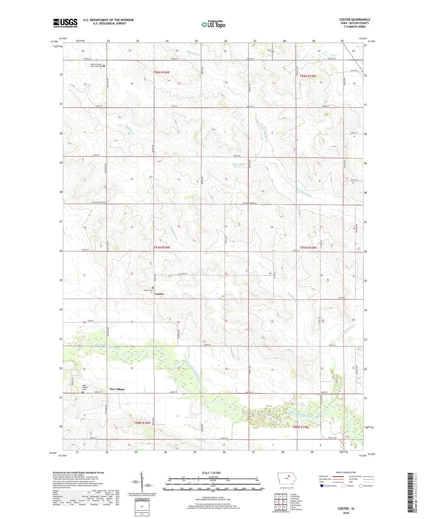
2022 topographic map quadrangle Coster in the state of Iowa. Scale: 1:24000. Based on the newly updated USGS 7.5' US Topo map series, this map is in the following counties: Butler. The map contains contour data, water features, and other items you are used to seeing on USGS maps, but also has updated roads and other features. This is the next generation of topographic maps. Printed on high-quality waterproof paper with UV fade-resistant inks.
Quads adjacent to this one:
West: Butler Center
Northwest: Allison
North: Clarksville
Northeast: Plainfield
East: Shell Rock
Southeast: New Hartford
South: Stout
Southwest: Parkersburg
This map covers the same area as the classic USGS quad with code o42092f6.
Contains the following named places: Butler County Home, Butler County Poor Farm Cemetery, Coster, Coster Cemetery, Coster Post Office, Freddeke Creek, Landphere Creek, Leeper Prairie Preserve, McClure Creek, Moulfon Creek, New Albion, New Albion Cemetery, Swanton Post Office, Township of Jefferson, West Fork Forest Access