MyTopo
Des Moines NE Iowa US Topo Map
Couldn't load pickup availability
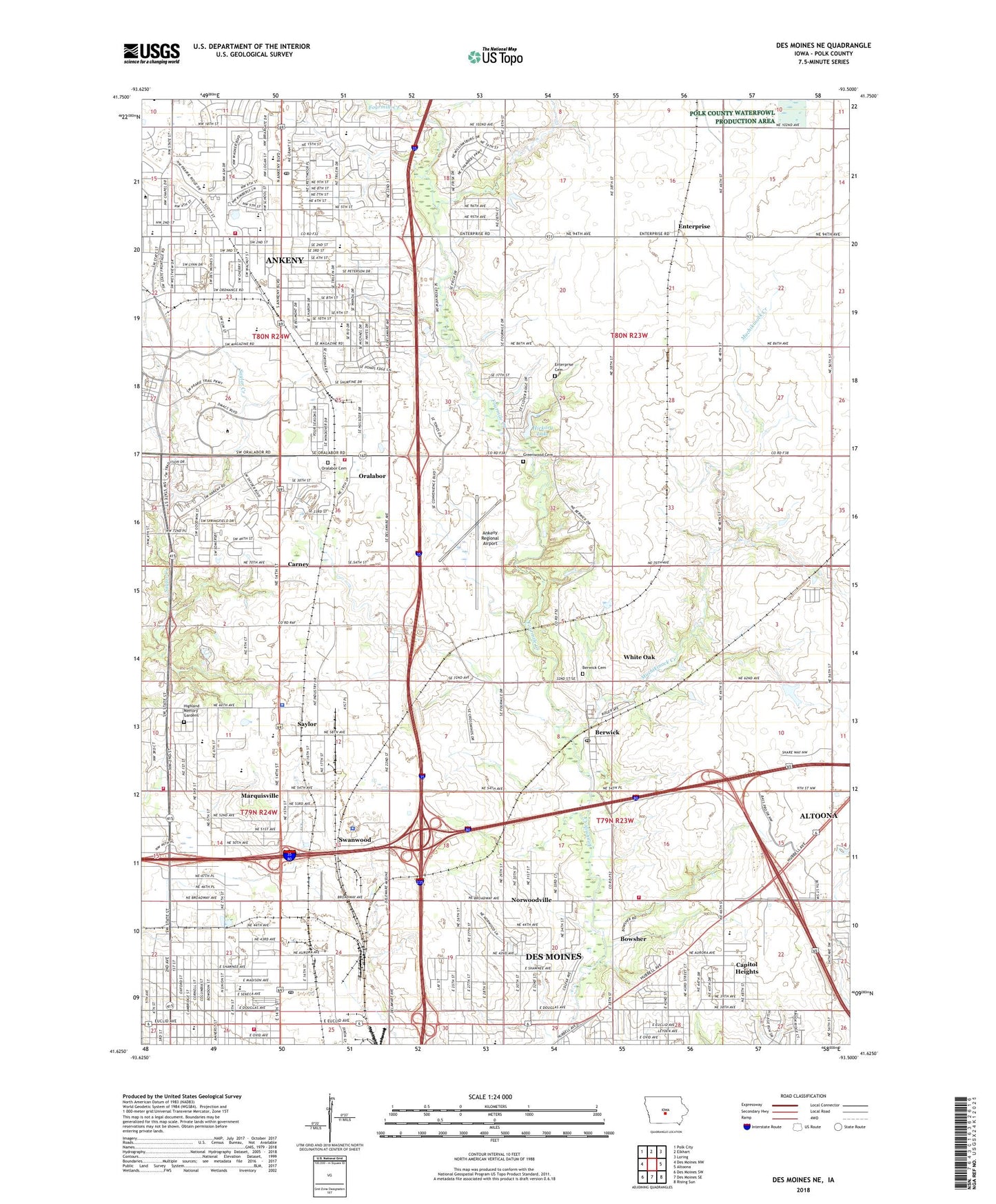
2022 topographic map quadrangle Des Moines NE in the state of Iowa. Scale: 1:24000. Based on the newly updated USGS 7.5' US Topo map series, this map is in the following counties: Polk. The map contains contour data, water features, and other items you are used to seeing on USGS maps, but also has updated roads and other features. This is the next generation of topographic maps. Printed on high-quality waterproof paper with UV fade-resistant inks.
Quads adjacent to this one:
West: Des Moines NW
Northwest: Polk City
North: Elkhart
Northeast: Loring
East: Altoona
Southeast: Rising Sun
South: Des Moines SE
Southwest: Des Moines SW
This map covers the same area as the classic USGS quad with code o41093f5.
Contains the following named places: Adams School, All Saints Catholic Church, All Saints School, Alliance Hmong Fellowship, Ankeny, Ankeny Christian Academy, Ankeny Church of Brethren, Ankeny Church of Christ, Ankeny City Hall, Ankeny Clinic, Ankeny Fire Department - Station 1 Headquarters, Ankeny First United Methodist Church, Ankeny High School, Ankeny Medical Center, Ankeny Police Department, Ankeny Post Office, Ankeny Presbyterian Church, Ankeny Regional Airport, Ankeny Seventh Day Adventist Church, Ankeny United Church of Christ, Aurora Avenue Bible Church, Berwick, Berwick Cemetery, Berwick Congregational Church, Berwick Post Office, Bethany Reformed Church, Bible Fellowship Church, Bowsher, Briarcliff Retirement Center, Calvary Assembly of God Church, Canary Lake, Capital City Baptist Church, Capitol Heights, Carney, Carney Post Office, Celebration of Christ Church, Church of Christ, Church of the Nazarene, City of Ankeny, Cornell Elementary School, Cornerstone Baptist Church, Cornerstone Pentecostal Church, Country Living Mobile Home Park, Crestbruck Park, Deer Creek, Delaware Elementary School, Delaware Family Medicine, Delaware Post Office, Delaware Township Fire Department, Des Moines Area Community College - Ankeny Campus, Des Moines Church of God, Des Moines Fire and Rescue Department Station 7, Des Moines Northeast Branch Church, Des Moines Park Fair Mall, Douglas School, East Elementary School, East Side Post Office, Eastside Evangelical Free Church, Eastwood Church of the Open Bible, Emmanuel Church of God in Christ, Enterprise, Enterprise Cemetery, Enterprise Post Office, Epworth United Methodist Church, Evangelical Chapel - Foursquare Church, Faith Baptist Bible College and Theological Seminary, First Church of Christ, Fraser Medical Services, Goodrell Middle School, Grandview Park Congregation, Grandview Village Mobile Home Park, Greenwood, Greenwood Friends Cemetery, Greenwood Post Office, Hammer School, Harding Middle School, Harvest Community Church, Haubert Park, Hawkeye Park, Heartland Assembly of God Church, Heartland Christian Fellowship, Heritage Park, Hickory Lake, Hickory Lake Dam, Highland Memory Gardens Cemetery, Highland Park Church of the Nazarene, Highland Park Lutheran Church, Highland Park Presbyterian Church, Holy Trinity Lutheran Church, Hope Lutheran Church, Horizon Park, Iowa Military Aviation Heritage Museum, Iowa Orthopaedic Center, Jehovah's Witnesses Highland Park Congregation, KGGO-AM (Des Moines), Kirkendall Public Library, KJJY-FM (Ankeny), Lighthouse Church, Madison Elementary School, Mallys Weh-Weh Neh-Kee Park, Margo Frankel Woods State Park, Marquisville, Marquisville Post Office, Marquisville United Methodist Church, Mercy Ankeny Medical Clinic, Metro Assembly of God Church, Michael Park, Mount Zion Baptist Church, Muchikinock Creek, Northeast Elementary School, Northwest Elementary School, Norwoodville, Norwoodville Baptist Church, Norwoodville Elementary School, Norwoodville Post Office, Oakwood Heights Mobile Home Park, Oralabor, Oralabor Cemetery, Otter Creek, Our Lady's Immaculate Heart Church, Our Saviour Lutheran Church, Parkview Middle School, Pine Grove Mobile Home Park, Polk County, Polk County Home, Polk County Sheriff's Office, Prairie Green School, Prairie Ridge Middle School, Prairie Ridge Sports Complex, Prince of Peace Lutheran Church, Pyche Soccer Field, Quilhart, Radio City Mobile Home Park, Randolph School, Red Brick School, Resurrection Lutheran Church, Saint John's Baptist Church, Sargent Park, Saydel Community Health Center, Saydel High School, Saylor, Saylor Station, Saylor Township Fire Department, Southeast Elementary School, Springwood Park, Summerbrook Park, Sunny-Brook Mobile Home Park, Sunrise Park, Sunset Park, Swanwood, Terrace Elementary School, The Church of Jesus Christ of Latter Day Saints, Township of Delaware, Township of Douglas, Township of Saylor, Trent, Trent Post Office, Trinity Church for the Deaf, Trinity Life Church of God, True Bible Baptist Church, True Life Assembly, Turner Park, United Church of Christ, Valley Junction Baptist Church, Vietnamese Evangelical Church, Wagner Park, Westside Park, White Oak, White Oak Church, White Oak Creek, Woodside Golf Course, Woodside Middle School, ZIP Codes: 50021, 50032, 50313


