MyTopo
Altoona Iowa US Topo Map
Couldn't load pickup availability
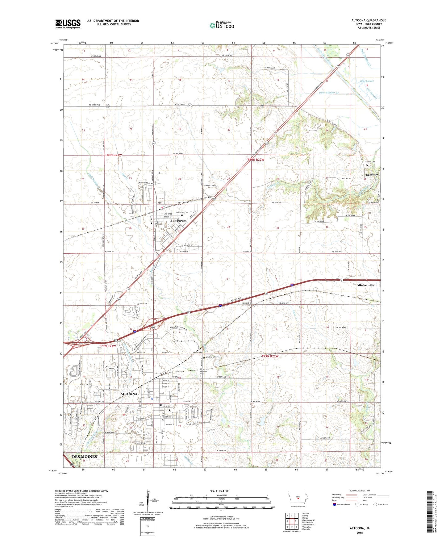
2022 topographic map quadrangle Altoona in the state of Iowa. Scale: 1:24000. Based on the newly updated USGS 7.5' US Topo map series, this map is in the following counties: Polk. The map contains contour data, water features, and other items you are used to seeing on USGS maps, but also has updated roads and other features. This is the next generation of topographic maps. Printed on high-quality waterproof paper with UV fade-resistant inks.
Quads adjacent to this one:
West: Des Moines NE
Northwest: Elkhart
North: Loring
Northeast: Mingo
East: Mitchellville
Southeast: Runnells
South: Rising Sun
Southwest: Des Moines SE
This map covers the same area as the classic USGS quad with code o41093f4.
Contains the following named places: Adventureland Campground, Adventureland Estates, Adventure-Life Reformed Church, Altoona, Altoona Assembly of God Church, Altoona Cemetery, Altoona Christian Church, Altoona City Fire Department, Altoona City Hall, Altoona City Public Library, Altoona Community Service Campus, Altoona Elementary School, Altoona Family Care Center, Altoona Health Care Center, Altoona Police Department, Altoona Post Office, Altoona Regular Baptist Church, Altoona United Methodist Church, Anderson Elementary School, Bondurant, Bondurant - Farrar High School, Bondurant - Farrar Middle School, Bondurant Baptist Church, Bondurant Cemetery, Bondurant Christian Church, Bondurant City Hall, Bondurant Community Library, Bondurant Family Clinic, Bondurant Fire Department, Bondurant Park, Bondurant Post Office, Centennial Elementary School, Christ the King Lutheran Church, Church of the Cross, City of Altoona, City of Bondurant, Community Church of Christ, Cope Post Office, Cornerstone Baptist Church, Ditch Number 2, Ditch Number 24, Ditch Number 38, Ditch Number 5, Eagle Ridge Park, Family Care Physicians, Federated Church, Franklin Cemetery, Greenbelt Park, Greenway Park, Haines Park, Historic Des Moines State Historical Marker, KGGO-FM (Des Moines), KIOA-FM (Des Moines), Lions Park, Mitchellville East Bound Rest Area, Mitchellville West Bound Rest Area, New Altoona Cemetery, Nobleton, Prairie Heritage Park, Prairie Meadows Racetrack, Saints John and Paul Catholic Church, Sam Wise Youth Complex, Santiago United Methodist Church, Terrace Hills Golf Course, Thomas Mitchell County Park, Township of Beaver, Township of Clay, Township of Franklin, Village Park, Willowbrook Elementary School, ZIP Codes: 50009, 50035


