MyTopo
Eagle Grove SW Iowa US Topo Map
Couldn't load pickup availability
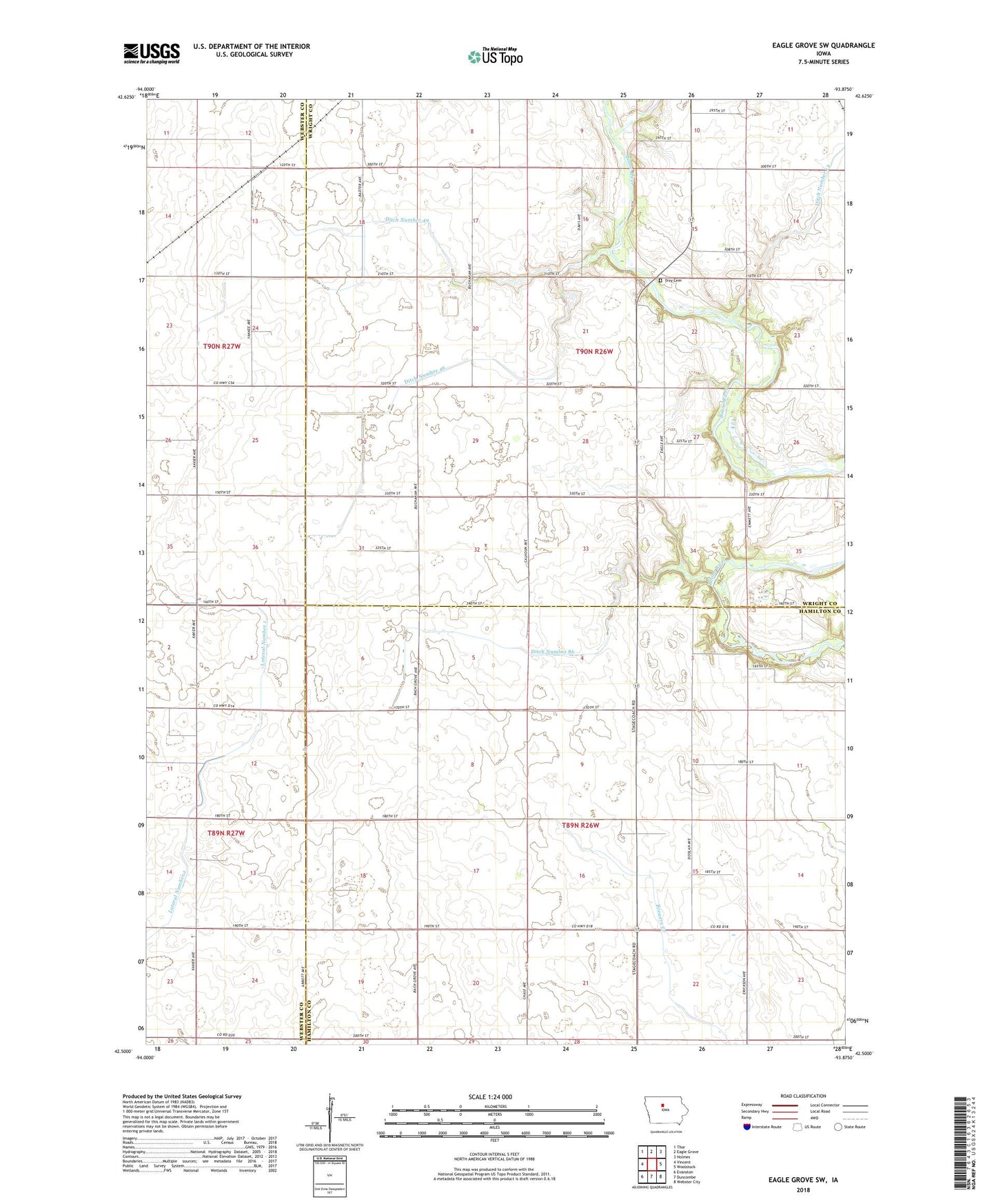
2022 topographic map quadrangle Eagle Grove SW in the state of Iowa. Scale: 1:24000. Based on the newly updated USGS 7.5' US Topo map series, this map is in the following counties: Wright, Hamilton, Webster. The map contains contour data, water features, and other items you are used to seeing on USGS maps, but also has updated roads and other features. This is the next generation of topographic maps. Printed on high-quality waterproof paper with UV fade-resistant inks.
Quads adjacent to this one:
West: Vincent
Northwest: Thor
North: Eagle Grove
Northeast: Holmes
East: Woolstock
Southeast: Webster City
South: Duncombe
Southwest: Evanston
This map covers the same area as the classic USGS quad with code o42093e8.
Contains the following named places: Bach Grove Post Office, Boone River Green Belt - Middleton Access, Ditch Number 46, Ditch Number 49, Ditch Number 86, Homestead Ridge Area, Lateral Number 1, Newark, Township of Fremont, Township of Troy, Troy Cemetery, Troy Park, Troy Safety Rest Area