MyTopo
Glenwood Iowa US Topo Map
Couldn't load pickup availability
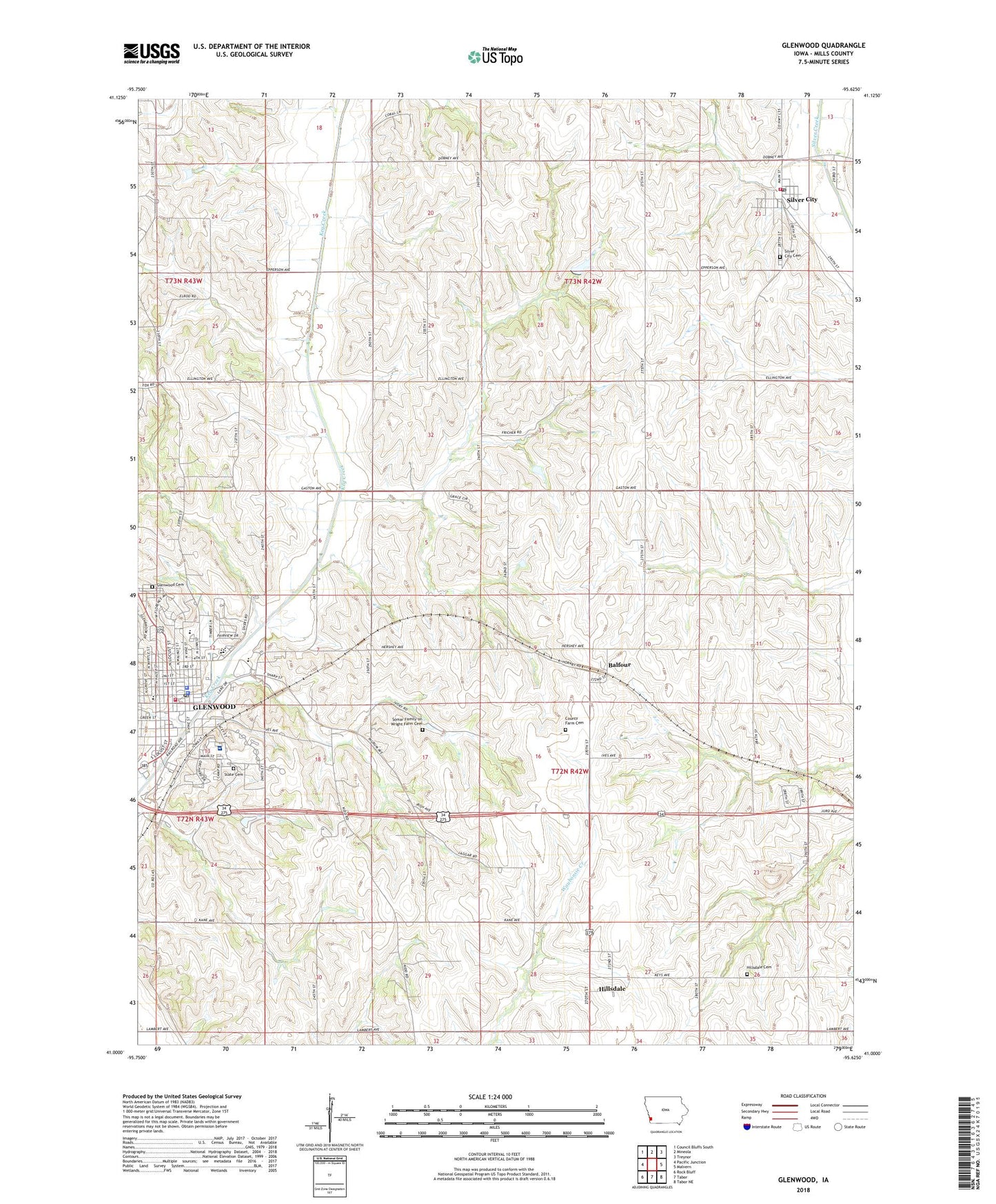
2022 topographic map quadrangle Glenwood in the state of Iowa. Scale: 1:24000. Based on the newly updated USGS 7.5' US Topo map series, this map is in the following counties: Mills. The map contains contour data, water features, and other items you are used to seeing on USGS maps, but also has updated roads and other features. This is the next generation of topographic maps. Printed on high-quality waterproof paper with UV fade-resistant inks.
Quads adjacent to this one:
West: Pacific Junction
Northwest: Council Bluffs South
North: Mineola
Northeast: Treynor
East: Malvern
Southeast: Tabor NE
South: Tabor
Southwest: Rock Bluff
This map covers the same area as the classic USGS quad with code o41095a6.
Contains the following named places: Alegent Health - Glenwood Clinic, Balfour, Balfour Post Office, Bible Baptist Church, Bomar Family Cemetery, Calvary Baptist Church, City of Glenwood, City of Silver City, Cogley Physicians Clinic, Everham School, Fayette Post Office, First Baptist Church, First Christian Church, First Church of the Nazarene, First Congregational Church, Glen Haven Home, Glenwood, Glenwood Alternative High School, Glenwood Cemetery, Glenwood Central School, Glenwood City Library, Glenwood Community High School, Glenwood Community Middle School, Glenwood Evangelical Free Church, Glenwood Golf Course, Glenwood Lake Park, Glenwood Police Department, Glenwood Post Office, Glenwood Recreation Complex, Glenwood Resource Center, Glenwood Resource Center Cemetery, Glenwood State Hospital School, Glenwood Volunteer Fire and Rescue Department, Goheen School, Grace United Methodist Church, Hawthorne School, Hillsdale, Hillsdale Cemetery, Hillsdale Post Office, Hillsdale United Methodist Church, Holy Rosary Church, Holy Rosary Montessori School, Jennie Edmundson Physical Therapy Center, Little Brick School, Malvern Quarry, Mercy Center, Mills County Courthouse, Mills County Farm Cemetery, Mills County Jail, Mills County Museum, Mills County Sheriff's Office, Mount Olive Post Office, Nazarene Church, Northeast Elementary School, Pleasant Grove School, Pleasant Hill School, Reasoner School, Saint John Episcopal Church, Sand Hollow School, Silver City, Silver City Ambulance Service, Silver City Cemetery, Silver City Fire and Rescue Station, Silver City Post Office, Silver City Public Library, Silver City United Methodist Church, Three Early Trails Historical Marker, Township of Center, Township of Glenwood, Township of Oak, Trinity Lutheran Church, United Methodist Church, Ward Post Office, West Elementary School, West Liberty School Number 1, West Liberty School Number 2, ZIP Code: 51534