MyTopo
Knoxville Iowa US Topo Map
Couldn't load pickup availability
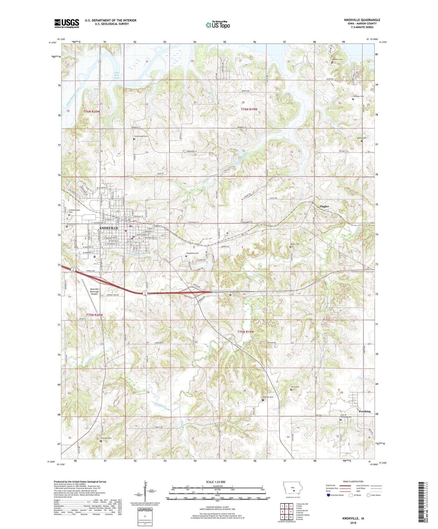
2022 topographic map quadrangle Knoxville in the state of Iowa. Scale: 1:24000. Based on the newly updated USGS 7.5' US Topo map series, this map is in the following counties: Marion. The map contains contour data, water features, and other items you are used to seeing on USGS maps, but also has updated roads and other features. This is the next generation of topographic maps. Printed on high-quality waterproof paper with UV fade-resistant inks.
Quads adjacent to this one:
West: Knoxville SW
Northwest: Knoxville NW
North: Otley
Northeast: Pella
East: Harvey
Southeast: Lovilia
South: Attica
Southwest: Melcher-Dallas
This map covers the same area as the classic USGS quad with code o41093c1.
Contains the following named places: 3M Knoxville, 50138, Apostolic Church, Arnott Medical Clinic, Asbury Cemetery, Assembly of God Church, Auld Park, Bybee Cemetery, Campetine Creek, Celebrate Community Church, Chiropractic Health Center, Christs Church, Church of Christ, Church of God, Church of the Nazarene, City of Knoxville, Coffman Cemetery, Colonial Terrace Mobile Home Park, Competine Cemetery, Concord Cemetery, Davis Cemetery, Department of Veterans Affairs Medical Center Knoxville Campus, Designer of the Iowa Flag Historical Marker, DeWitt Cemetery, Edwards City Park, Fairmont, Fairmont Post Office, Faith Baptist Church, Family Dentistry Center, First Baptist Church, First Christian Church, First United Methodist Church, Flagler, Flagler Post Office, Four Square Church, Free Methodist Church, Friendship Christian Church, GOAL Alternative High School, Good Shepherd Lutheran Church, Governor William Stone Historical Marker, Graceland Cemetery, Greenwood Cemetery, Griffin Nursing Center, Home of Governor William Stone Historical Marker, Home of Judge Lorin N Hayes Historical Marker, Iowa Health Physicians Center, KNIA-AM (Knoxville), Knoxville, Knoxville Area Community Hospital Heliport, Knoxville Chiropractic Clinic, Knoxville Christian Church, Knoxville Fire and Rescue Department, Knoxville High School, Knoxville Hospital, Knoxville Memorial Hall, Knoxville Middle School, Knoxville Municipal Airport, Knoxville Police Department, Knoxville Pond, Knoxville Pond Dam, Knoxville Post Office, Knoxville Public Library, Knoxville Raceway, Knoxville Township Rural Fire Department, KRLS-FM (Knoxville), KTAV-FM (Knoxville), Living Word Fellowship, Marion County, Marion County Courthouse, Marion County Fairground, Marion County Historical Village, Marion County Sheriff's Office, Memorial for President George Washington Historical Marker, Monster Cemetery, National Sprint Car Hall of Fame and Museum, Northstar Elementary School, Overton Cemetery, Pershing, Pershing Post Office, Pine Knolls Country Club, Red Rock Line Indian Treaty Historical Marker, Reorganized Church of Jesus Christ of Latter Day Saints, Ridlen Cemetery, Rizors Post Office, RV's Full Facility Camp Grounds, Saint Anthony School, Saint Anthonys Catholic Church, Schlotterback Cemetery, The Church of Jesus Christ of Latter Day Saints, Township of Knoxville, Trinity Chapel, Trinity Lutheran Church, USS Maine Historical Marker, Veterans Administration Medical Center Library, Victory Baptist Church, Wensel Mobile Home Park, West Elementary School, Westridge Manor Nursing Home, Wheel Estates Mobile Home Park, Whylie Eye Care Center, Wolf Run, Youngs Park, Zion Cemetery, Zion Church


