MyTopo
Quimby SE Iowa US Topo Map
Couldn't load pickup availability
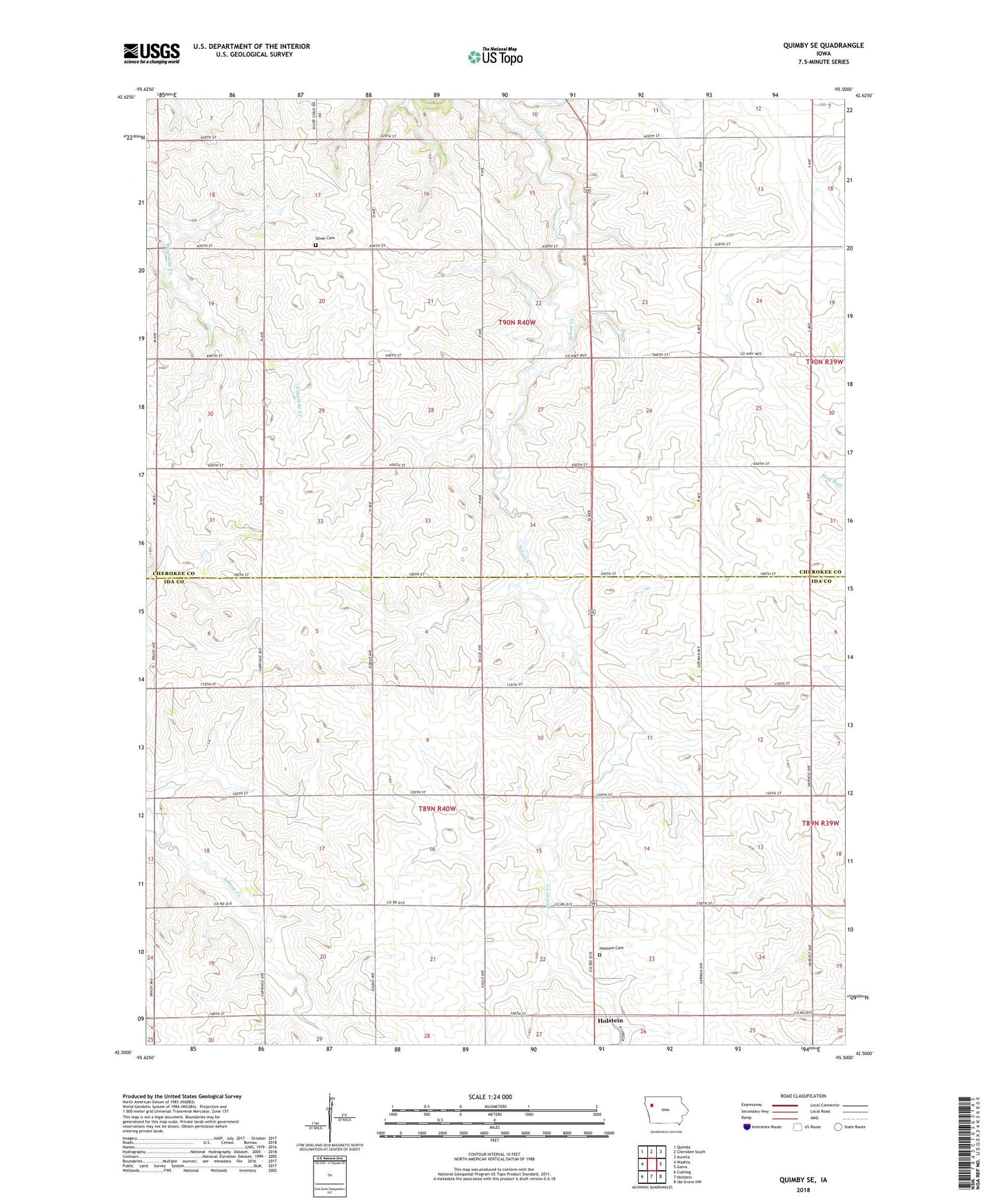
2022 topographic map quadrangle Quimby SE in the state of Iowa. Scale: 1:24000. Based on the newly updated USGS 7.5' US Topo map series, this map is in the following counties: Ida, Cherokee. The map contains contour data, water features, and other items you are used to seeing on USGS maps, but also has updated roads and other features. This is the next generation of topographic maps. Printed on high-quality waterproof paper with UV fade-resistant inks.
Quads adjacent to this one:
West: Washta
Northwest: Quimby
North: Cherokee South
Northeast: Aurelia
East: Galva
Southeast: Ida Grove NW
South: Holstein
Southwest: Cushing
This map covers the same area as the classic USGS quad with code o42095e5.
Contains the following named places: Borchers Farms, Circle 7 Feed Yard, East Hampton Post Office, Gant Farms, H and J Farms, Holstein Cemetery, Holstein Dairy, Silver Cemetery, Sunset Sow Farm, Todd Farms, Township of Griggs, Township of Silver