MyTopo
Schaller South Iowa US Topo Map
Couldn't load pickup availability
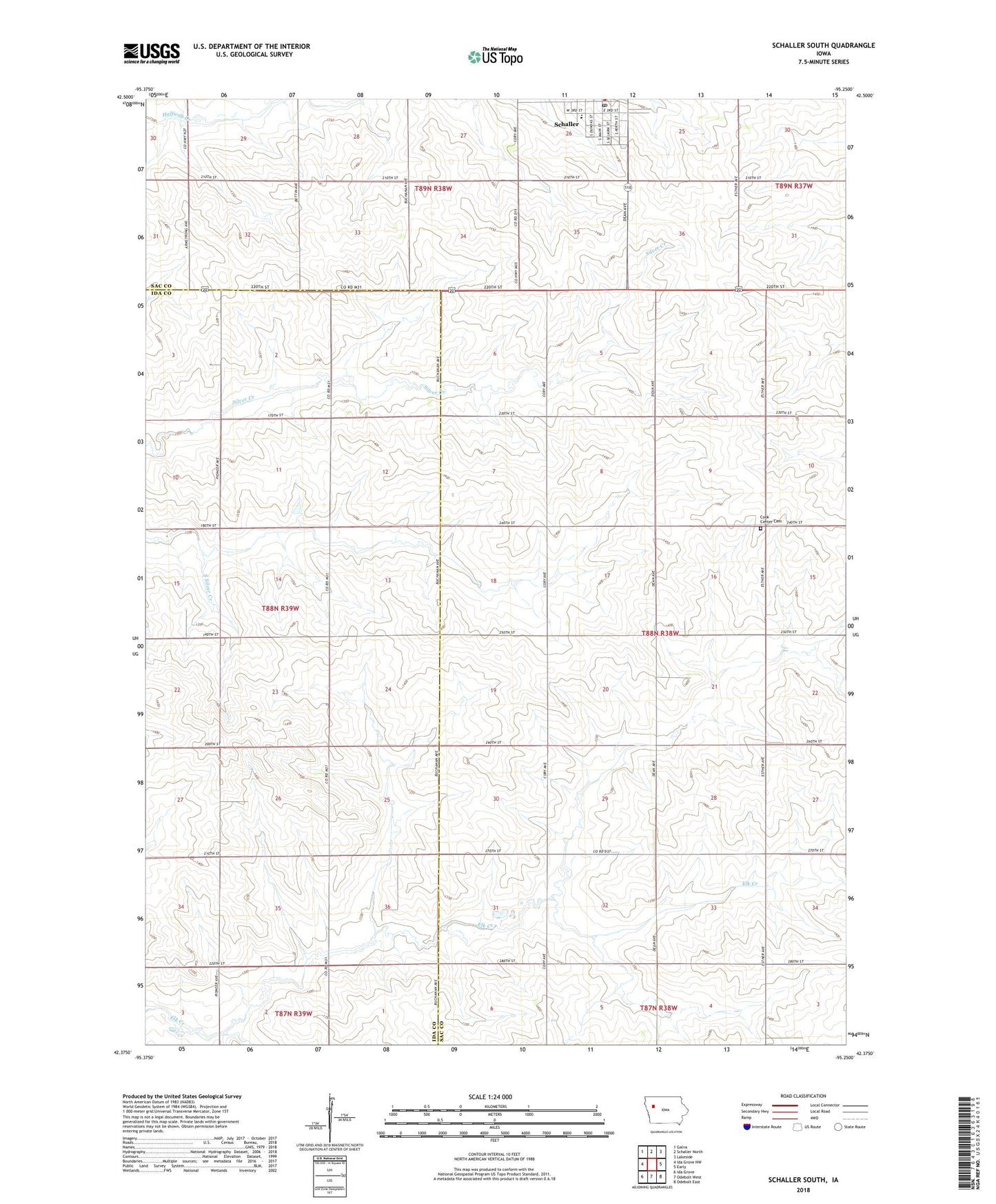
2022 topographic map quadrangle Schaller South in the state of Iowa. Scale: 1:24000. Based on the newly updated USGS 7.5' US Topo map series, this map is in the following counties: Sac, Ida. The map contains contour data, water features, and other items you are used to seeing on USGS maps, but also has updated roads and other features. This is the next generation of topographic maps. Printed on high-quality waterproof paper with UV fade-resistant inks.
Quads adjacent to this one:
West: Ida Grove NW
Northwest: Galva
North: Schaller North
Northeast: Lakeside
East: Early
Southeast: Odebolt East
South: Odebolt West
Southwest: Ida Grove
This map covers the same area as the classic USGS quad with code o42095d3.
Contains the following named places: Brook Mount, Carim Farms, City of Schaller, Cook Center Cemetery, Elk Run Post Office, Methodist Church, Presbyterian Church, Saint Josephs Catholic Church, Saint Paul Lutheran Church, Schaller, Schaller - Crestland Elementary School, Schaller Post Office, Schaller Recreation Center, Township of Cook, ZIP Code: 51053