MyTopo
Taylor Iowa US Topo Map
Couldn't load pickup availability
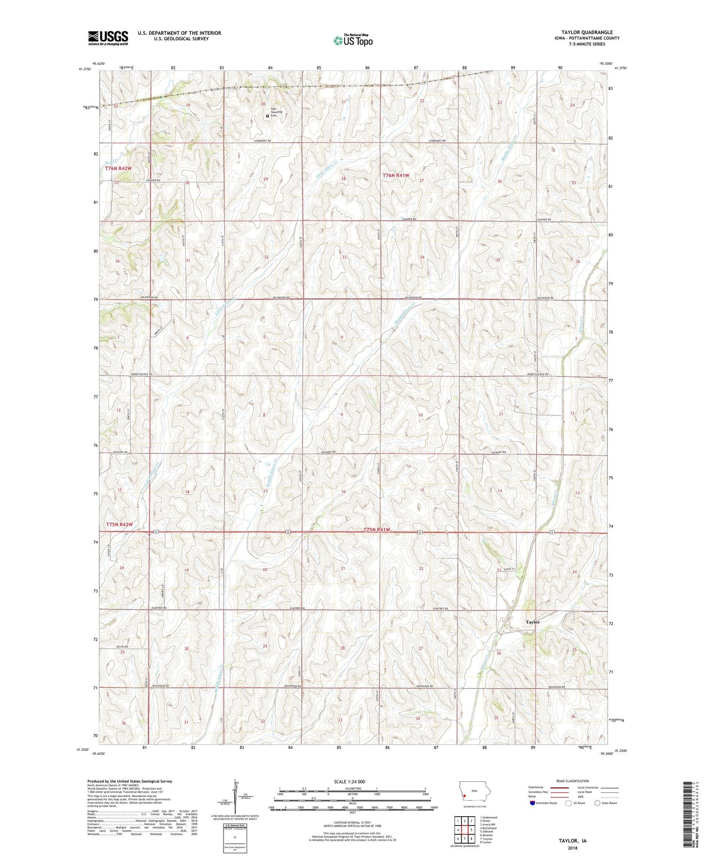
2022 topographic map quadrangle Taylor in the state of Iowa. Scale: 1:24000. Based on the newly updated USGS 7.5' US Topo map series, this map is in the following counties: Pottawattamie. The map contains contour data, water features, and other items you are used to seeing on USGS maps, but also has updated roads and other features. This is the next generation of topographic maps. Printed on high-quality waterproof paper with UV fade-resistant inks.
Quads adjacent to this one:
West: McClelland
Northwest: Underwood
North: Neola
Northeast: Avoca NW
East: Oakland
Southeast: Carson
South: Treynor
Southwest: Mineola
This map covers the same area as the classic USGS quad with code o41095c5.
Contains the following named places: Blair Post Office, Center School, Keown Post Office, Pottawattamie County, School Number Eight, School Number Four, School Number One, School Number Seven, School Number Six, School Number Three, School Number Two, Taylor, Taylor Post Office, Taylor Station Post Office, Township of Washington, York Township Cemetery