MyTopo
Aliceville Kansas US Topo Map
Couldn't load pickup availability
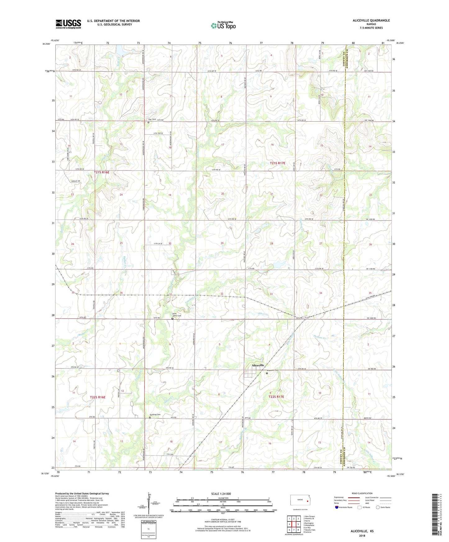
2022 topographic map quadrangle Aliceville in the state of Kansas. Scale: 1:24000. Based on the newly updated USGS 7.5' US Topo map series, this map is in the following counties: Coffey, Anderson. The map contains contour data, water features, and other items you are used to seeing on USGS maps, but also has updated roads and other features. This is the next generation of topographic maps. Printed on high-quality waterproof paper with UV fade-resistant inks.
Quads adjacent to this one:
West: Burlington
Northwest: New Strawn
North: Waverly SE
Northeast: Harris
East: Westphalia
Southeast: Geneva
South: Neosho Falls
Southwest: Le Roy
This map covers the same area as the classic USGS quad with code o38095b5.
Contains the following named places: Aliceville, Altamont Cemetery, Avon, Bellgrade, KSNP - FM (Burlington), Quisling Cemetery, Saint Johns Lutheran Cemetery, Scott Valley Church, Silver Creek, Star Cemetery, Tauckett Creek, Township of Avon, Township of Star, Westphalia Wastewater Plant