MyTopo
Harris Kansas US Topo Map
Couldn't load pickup availability
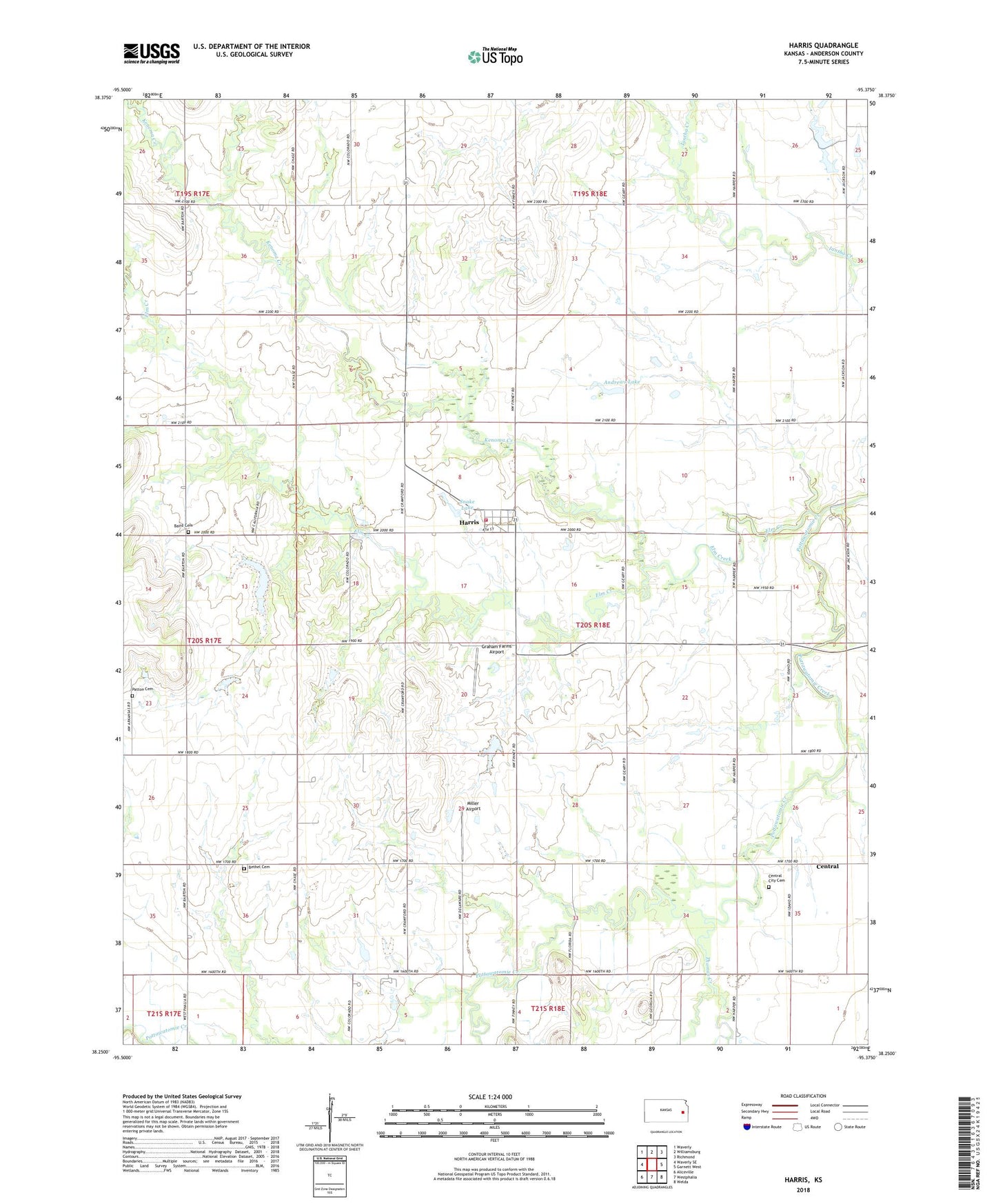
2022 topographic map quadrangle Harris in the state of Kansas. Scale: 1:24000. Based on the newly updated USGS 7.5' US Topo map series, this map is in the following counties: Anderson. The map contains contour data, water features, and other items you are used to seeing on USGS maps, but also has updated roads and other features. This is the next generation of topographic maps. Printed on high-quality waterproof paper with UV fade-resistant inks.
Quads adjacent to this one:
West: Waverly SE
Northwest: Waverly
North: Williamsburg
Northeast: Richmond
East: Garnett West
Southeast: Welda
South: Westphalia
Southwest: Aliceville
This map covers the same area as the classic USGS quad with code o38095c4.
Contains the following named places: Andrews Lake, Baird Cemetery, Beachner Grain Elevator Number 22, Bethel Cemetery, Cedar Creek Church, Centerview School, Central, Central City Cemetery, Cresco, Elm Creek, Graham Farms Airport, Harris, Harris Census Designated Place, Harris Rural Fire Department, Kenoma Creek, Miller Airport, Mineral Point, Patton Cemetery, Rochester, Rocky Run, Snake Lake, Thomas Creek, Township of Reeder