MyTopo
Buffalo Kansas US Topo Map
Couldn't load pickup availability
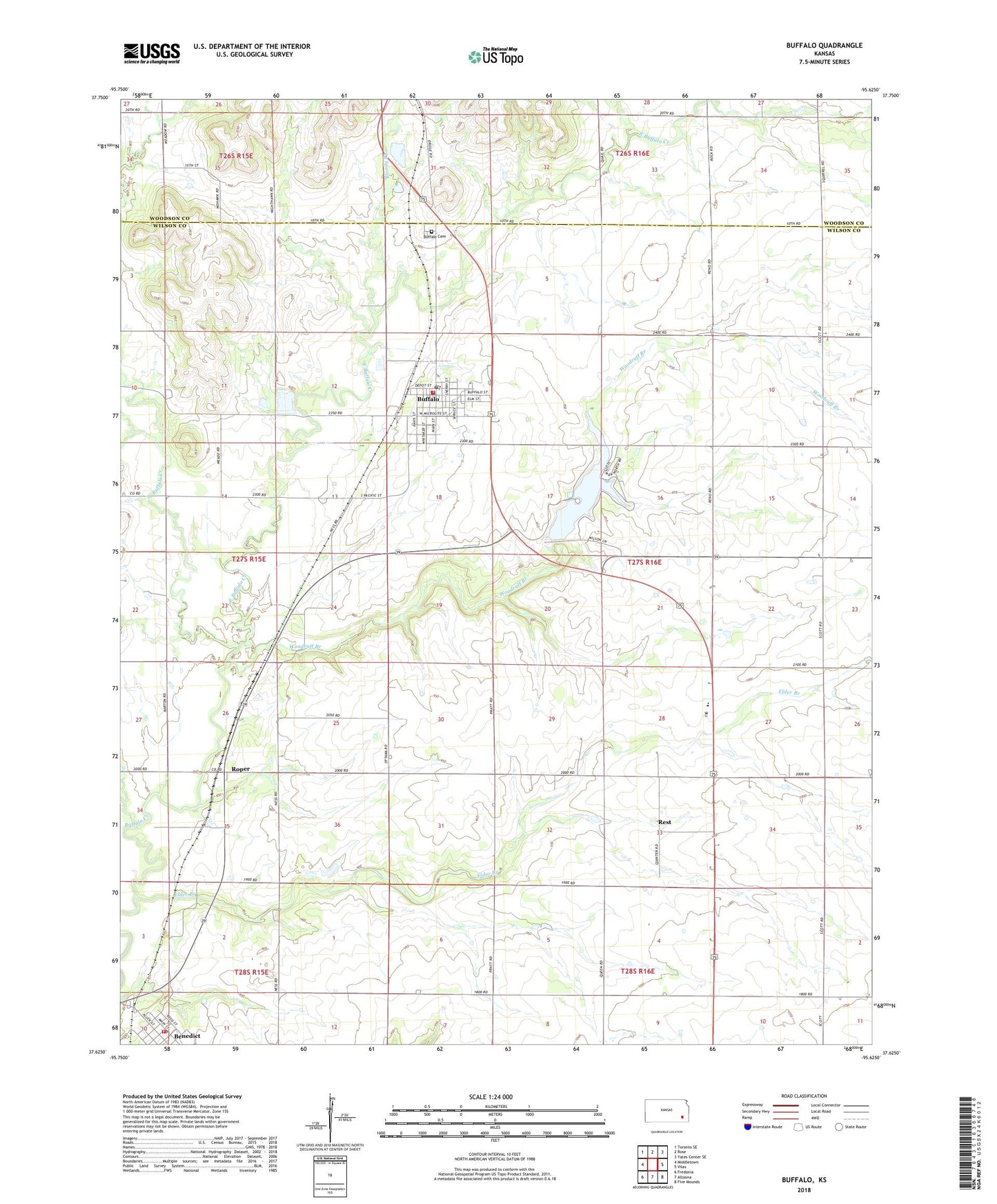
2022 topographic map quadrangle Buffalo in the state of Kansas. Scale: 1:24000. Based on the newly updated USGS 7.5' US Topo map series, this map is in the following counties: Wilson, Woodson. The map contains contour data, water features, and other items you are used to seeing on USGS maps, but also has updated roads and other features. This is the next generation of topographic maps. Printed on high-quality waterproof paper with UV fade-resistant inks.
Quads adjacent to this one:
West: Middletown
Northwest: Toronto SE
North: Rose
Northeast: Yates Center SE
East: Vilas
Southeast: Five Mounds
South: Altoona
Southwest: Fredonia
This map covers the same area as the classic USGS quad with code o37095f6.
Contains the following named places: Altoona - Midway Middle / High School, Banner School, Benedict Post Office, Bloody Run, Blue School, Blume School, Buffalo, Buffalo Cemetery, Buffalo Church of the Nazarene, Buffalo City Hall, Buffalo Community Church, Buffalo Fire Department, Buffalo Post Office, Buffalo Senior Center, Buffalo United Methodist Church, Buffalo Wastewater Treatment Plant, City of Benedict, City of Buffalo, East Buffalo Creek, Elder Branch, Elder Branch School, High Prairie School, High Prairie United Methodist Church, Ninety Nine School, Rest, Roper, Stone School, Township of Clifton, West Buffalo Creek, Wilson County Rural Fire District Station 5, Wilson County Rural Fire District Station 8, Wilson County State Lake, Wilson County State Lake Dam, Wilson County State Park, Wilson State Fishing Lake, Woodruff Branch, ZIP Codes: 66714, 66717