MyTopo
Buxton Kansas US Topo Map
Couldn't load pickup availability
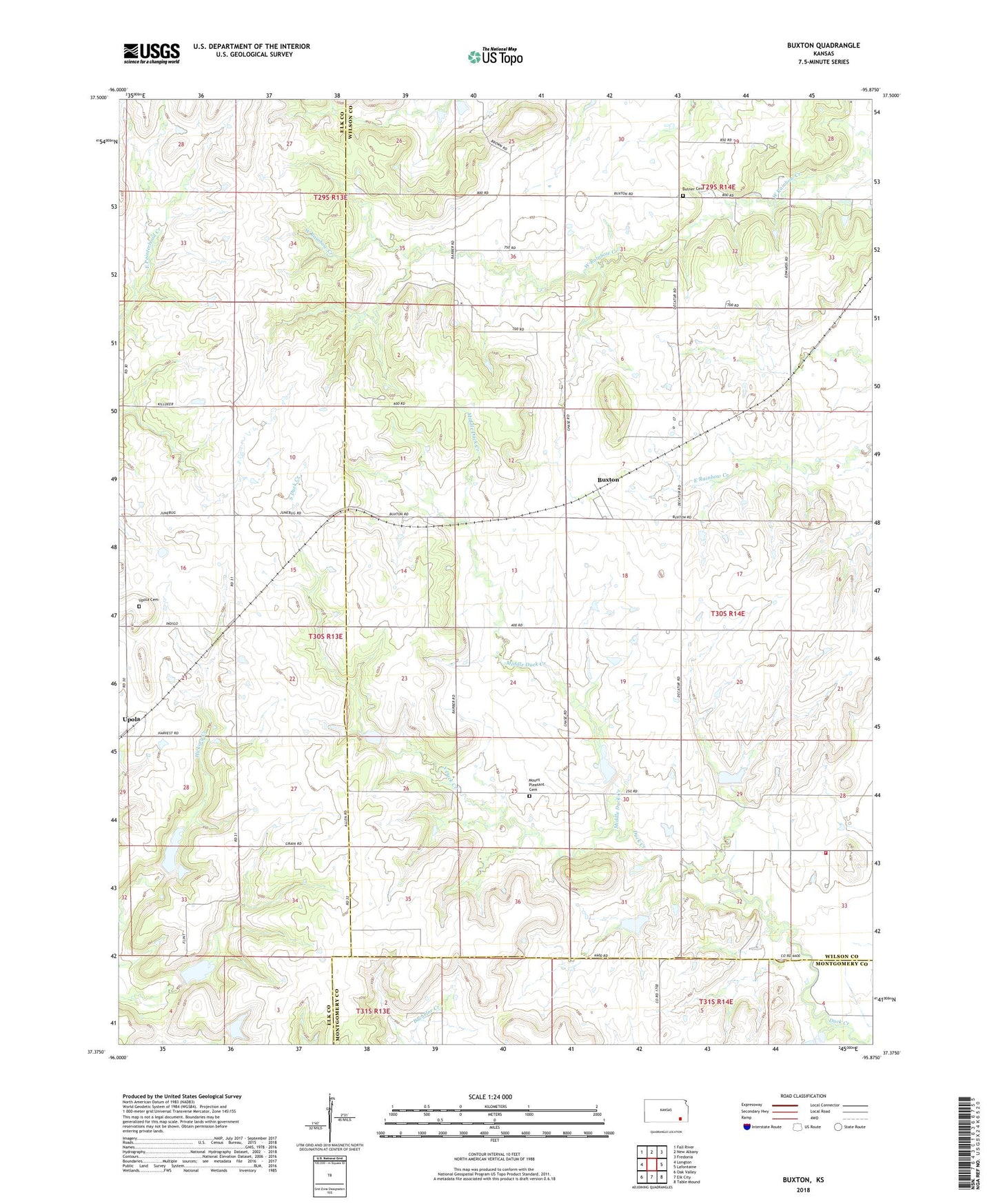
2022 topographic map quadrangle Buxton in the state of Kansas. Scale: 1:24000. Based on the newly updated USGS 7.5' US Topo map series, this map is in the following counties: Wilson, Elk, Montgomery. The map contains contour data, water features, and other items you are used to seeing on USGS maps, but also has updated roads and other features. This is the next generation of topographic maps. Printed on high-quality waterproof paper with UV fade-resistant inks.
Quads adjacent to this one:
West: Longton
Northwest: Fall River
North: New Albany
Northeast: Fredonia
East: Lafontaine
Southeast: Table Mound
South: Elk City
Southwest: Oak Valley
This map covers the same area as the classic USGS quad with code o37095d8.
Contains the following named places: Bonner Field Airport, Butner Cemetery, Buxton, Buxton Christian Church, Green Ridge School, Jurett, Middle Duck Creek, Mount Pleasant Cemetery, South Duck Creek, Township of Duck Creek, Upola, Upola Cemetery, West Rainbow School, Wilson County Rural Fire District Station 4