MyTopo
Centerville Kansas US Topo Map
Couldn't load pickup availability
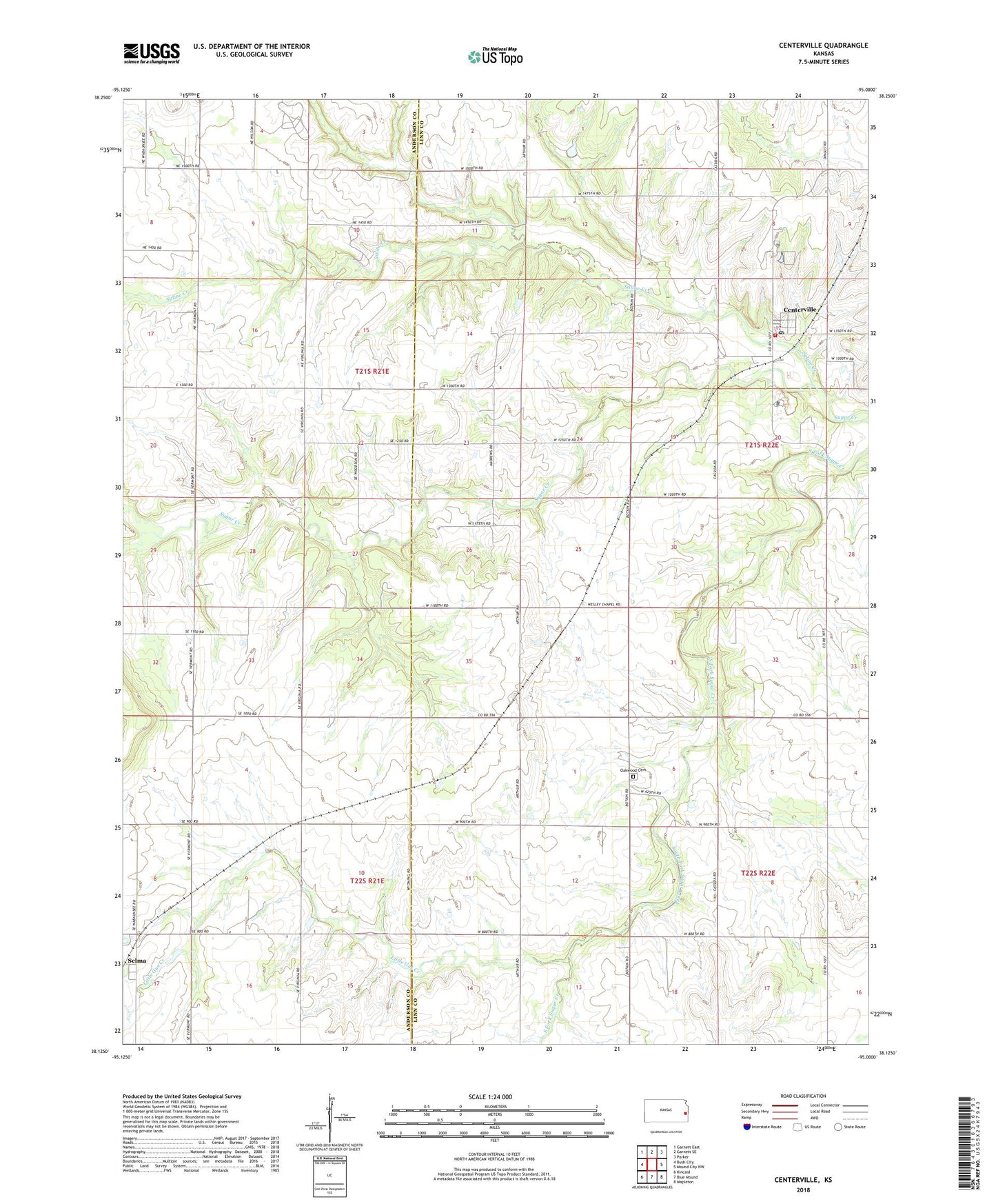
2022 topographic map quadrangle Centerville in the state of Kansas. Scale: 1:24000. Based on the newly updated USGS 7.5' US Topo map series, this map is in the following counties: Linn, Anderson. The map contains contour data, water features, and other items you are used to seeing on USGS maps, but also has updated roads and other features. This is the next generation of topographic maps. Printed on high-quality waterproof paper with UV fade-resistant inks.
Quads adjacent to this one:
West: Bush City
Northwest: Garnett East
North: Garnett SE
Northeast: Parker
East: Mound City NW
Southeast: Mapleton
South: Blue Mound
Southwest: Kincaid
This map covers the same area as the classic USGS quad with code o38095b1.
Contains the following named places: Centerville, Centerville Census Designated Place, Centerville Post Office, Coalsburg, Horttor Airport, Linn County Rural Fire District 1 Station 930, Little Gus Creek, Oakwood, Oakwood Cemetery, Saline Creek, Selma, Vance