MyTopo
Downs South Kansas US Topo Map
Couldn't load pickup availability
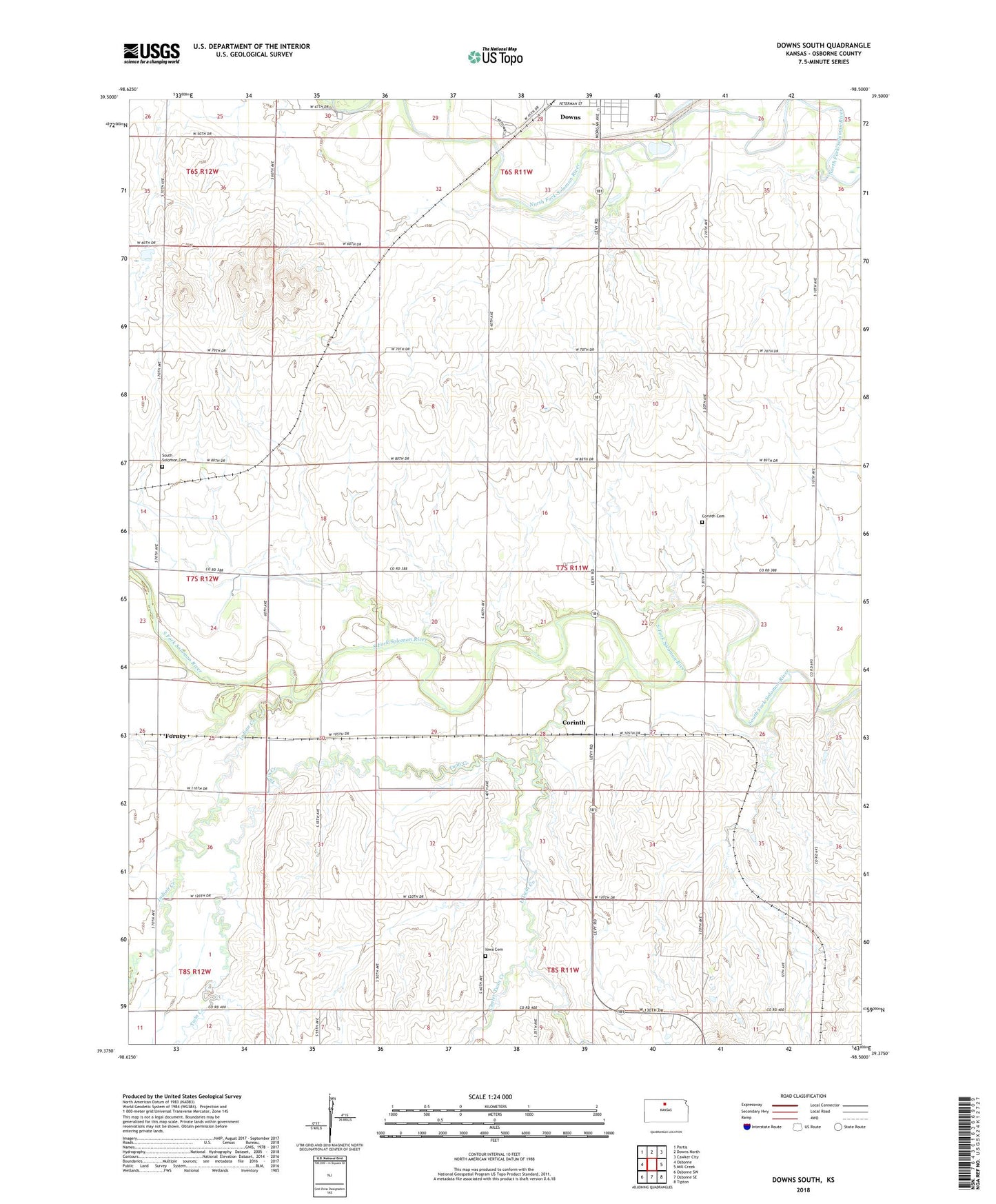
2022 topographic map quadrangle Downs South in the state of Kansas. Scale: 1:24000. Based on the newly updated USGS 7.5' US Topo map series, this map is in the following counties: Osborne. The map contains contour data, water features, and other items you are used to seeing on USGS maps, but also has updated roads and other features. This is the next generation of topographic maps. Printed on high-quality waterproof paper with UV fade-resistant inks.
Quads adjacent to this one:
West: Osborne
Northwest: Portis
North: Downs North
Northeast: Cawker City
East: Mill Creek
Southeast: Tipton
South: Osborne SE
Southwest: Osborne SW
This map covers the same area as the classic USGS quad with code o39098d5.
Contains the following named places: Center Twin Creek, Corinth, Corinth Cemetery, Cottonwood School, Downs, Downs Wastewater Treatment Facility, Dry Creek, East Twin Creek, Forney, Handy, High Prairie School, Indian Creek, Iowa Cemetery, Midway Co - Operative Association Grain Elevator Number 6, South Solomon Cemetery, Township of Corinth, Twin Creek