MyTopo
Mill Creek Kansas US Topo Map
Couldn't load pickup availability
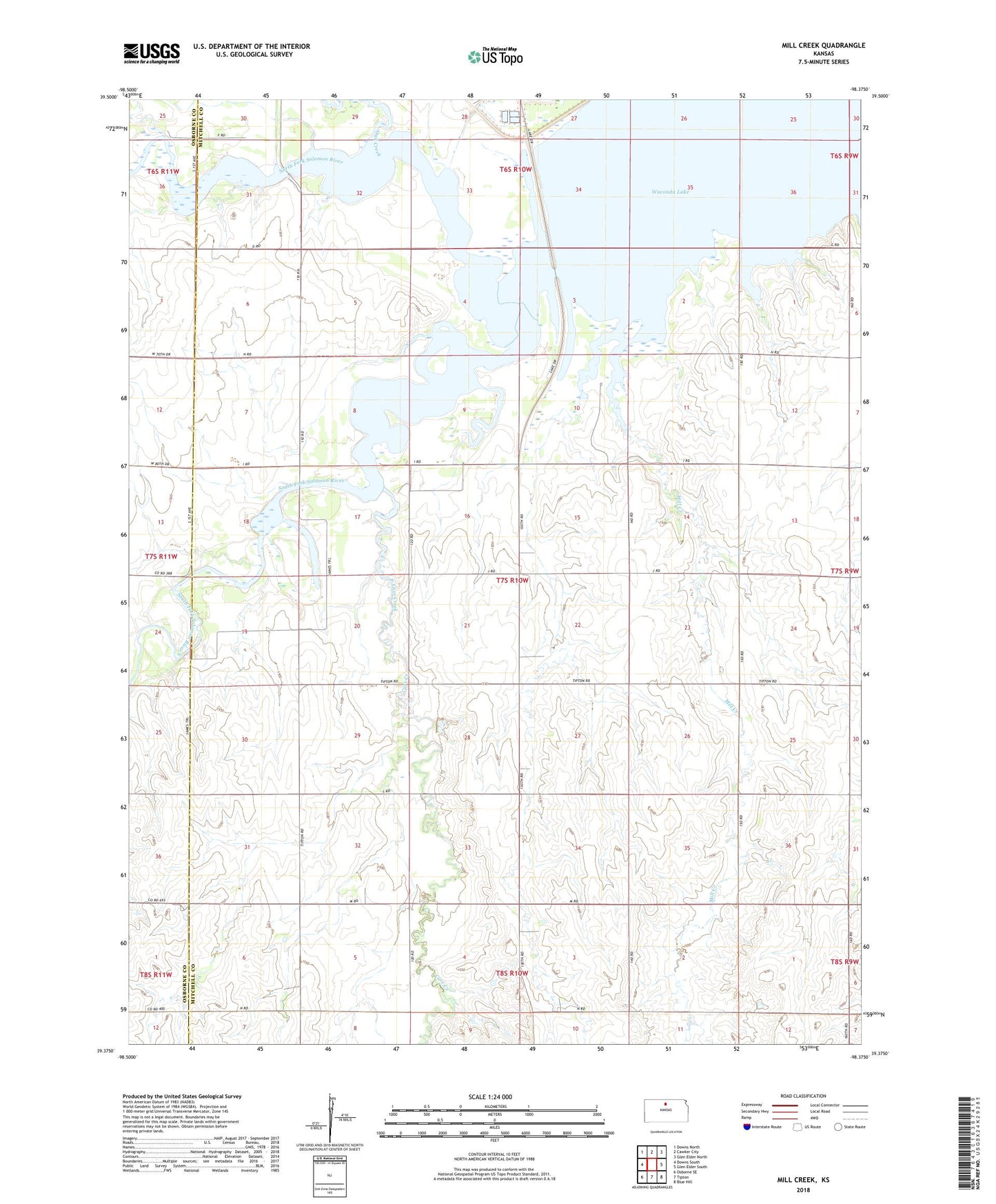
2022 topographic map quadrangle Mill Creek in the state of Kansas. Scale: 1:24000. Based on the newly updated USGS 7.5' US Topo map series, this map is in the following counties: Mitchell, Osborne. The map contains contour data, water features, and other items you are used to seeing on USGS maps, but also has updated roads and other features. This is the next generation of topographic maps. Printed on high-quality waterproof paper with UV fade-resistant inks.
Quads adjacent to this one:
West: Downs South
Northwest: Downs North
North: Cawker City
Northeast: Glen Elder North
East: Glen Elder South
Southeast: Blue Hill
South: Tipton
Southwest: Osborne SE
This map covers the same area as the classic USGS quad with code o39098d4.
Contains the following named places: Carr Creek, Elm Creek, Great Spirit Spring, Mill Creek, North Fork Solomon River, Oak Creek, Plainview Church, South Fork Solomon River, Township of Carr Creek, Waconda Springs