MyTopo
Langdon Kansas US Topo Map
Couldn't load pickup availability
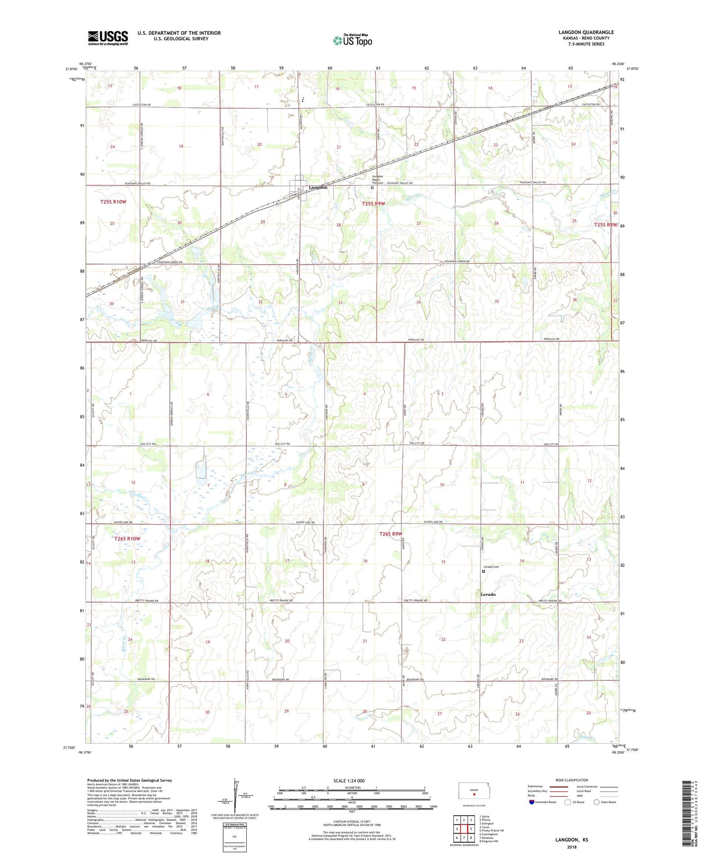
2022 topographic map quadrangle Langdon in the state of Kansas. Scale: 1:24000. Based on the newly updated USGS 7.5' US Topo map series, this map is in the following counties: Reno. The map contains contour data, water features, and other items you are used to seeing on USGS maps, but also has updated roads and other features. This is the next generation of topographic maps. Printed on high-quality waterproof paper with UV fade-resistant inks.
Quads adjacent to this one:
West: Turon
Northwest: Sylvia
North: Plevna
Northeast: Arlington
East: Pretty Prairie SW
Southeast: Kingman NW
South: Penalosa
Southwest: Cunningham
This map covers the same area as the classic USGS quad with code o37098g3.
Contains the following named places: City of Langdon, F M Stout Memorial Airport, Fairfield Grade School / Middle School, Fairfield High School, Jordon Springs, Langdon, Langdon Maple Hill Cemetery, Lerado, Lerado Cemetery, Township of Bell, Township of Langdon, Wolf Creek