MyTopo
Willowdale Kansas US Topo Map
Couldn't load pickup availability
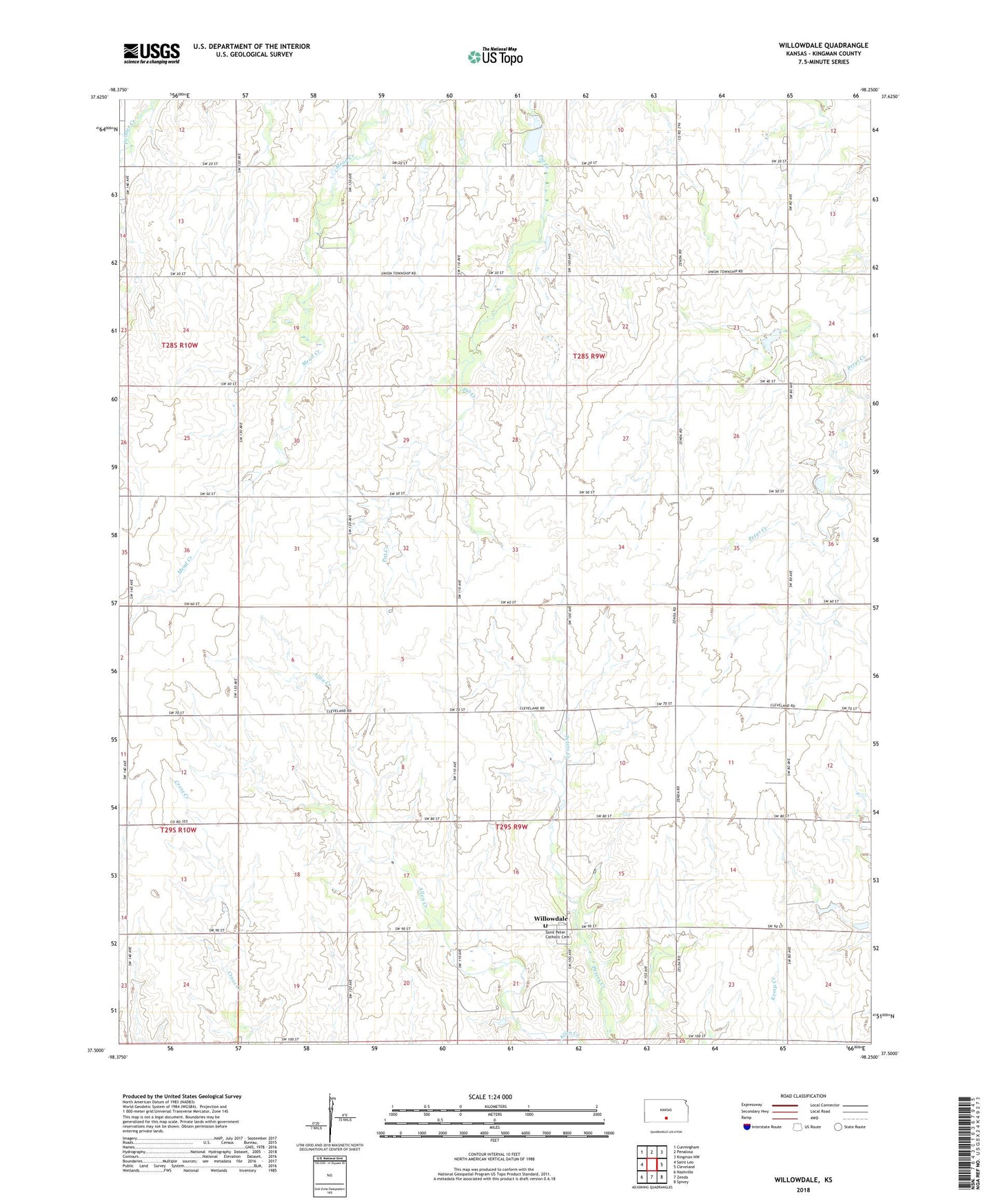
2022 topographic map quadrangle Willowdale in the state of Kansas. Scale: 1:24000. Based on the newly updated USGS 7.5' US Topo map series, this map is in the following counties: Kingman. The map contains contour data, water features, and other items you are used to seeing on USGS maps, but also has updated roads and other features. This is the next generation of topographic maps. Printed on high-quality waterproof paper with UV fade-resistant inks.
Quads adjacent to this one:
West: Saint Leo
Northwest: Cunningham
North: Penalosa
Northeast: Kingman NW
East: Cleveland
Southeast: Spivey
South: Zenda
Southwest: Nashville
This map covers the same area as the classic USGS quad with code o37098e3.
Contains the following named places: Blanchard, McDowell School, Mead Creek School, Morisse Creek, Oklahoma School, Saint Peter Catholic Cemetery, Township of Peters, Township of Union, Willowdale, Willowdale Oil and Gas Field, Willowdale Parish Center