MyTopo
Crider Kentucky US Topo Map
Couldn't load pickup availability
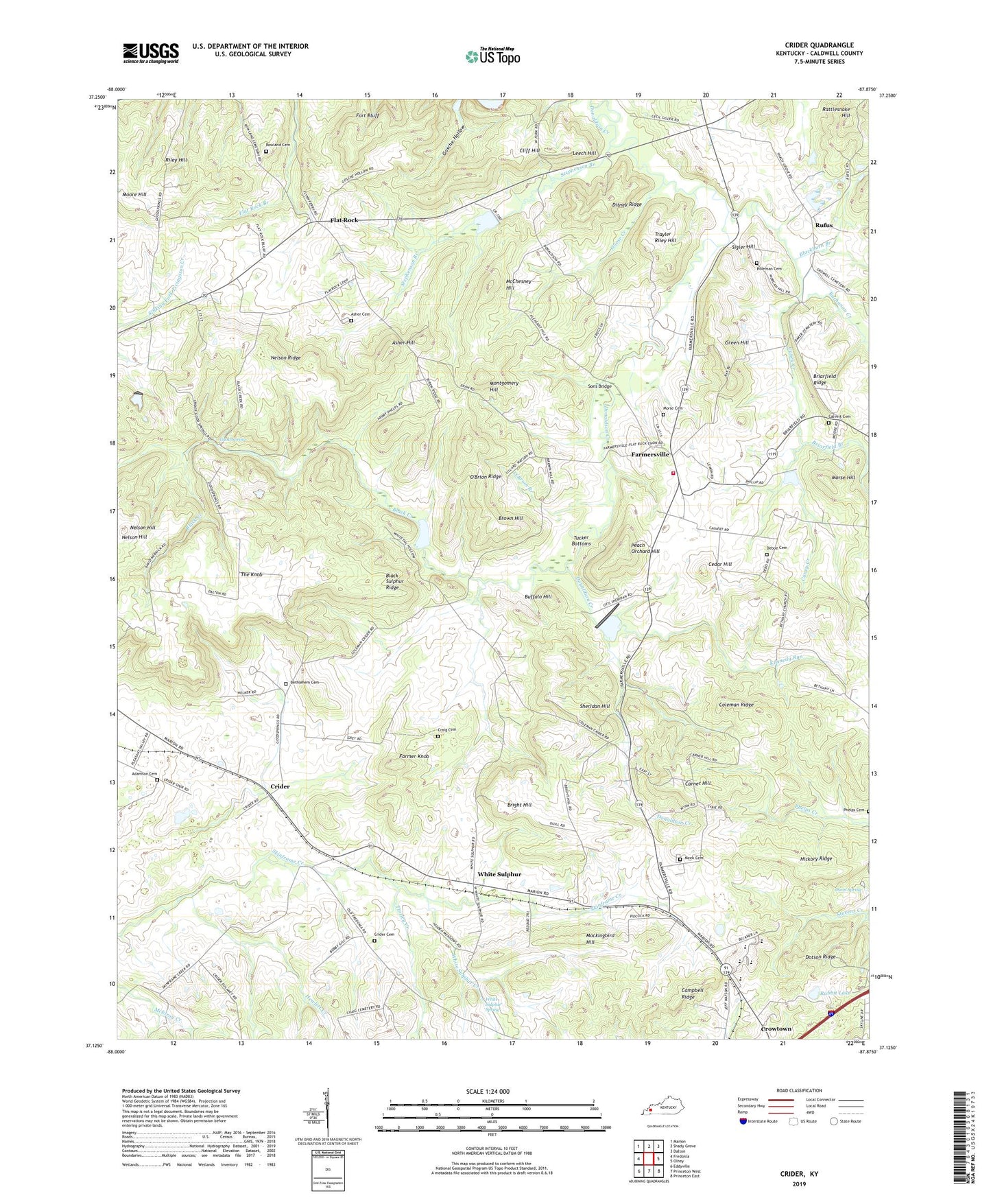
2022 topographic map quadrangle Crider in the state of Kentucky. Scale: 1:24000. Based on the newly updated USGS 7.5' US Topo map series, this map is in the following counties: Caldwell. The map contains contour data, water features, and other items you are used to seeing on USGS maps, but also has updated roads and other features. This is the next generation of topographic maps. Printed on high-quality waterproof paper with UV fade-resistant inks.
Quads adjacent to this one:
West: Fredonia
Northwest: Marion
North: Shady Grove
Northeast: Dalton
East: Olney
Southeast: Princeton East
South: Princeton West
Southwest: Eddyville
This map covers the same area as the classic USGS quad with code o37087b8.
Contains the following named places: Adamson Cemetery, Asher Cemetery, Asher Hill, Bethany, Bethany Church, Bethlehem Cemetery, Black Creek, Black Sulphur Ridge, Blackburn Branch, Briarfield Branch, Briarfield Ridge, Briarfield-Union Grove, Bright Hill, Brown Hill, Buchanan Creek, Buffalo Hill, Calvert Cemetery Number 1, Campbell Ridge, Caney Creek, Carner Hill, Cedar Hill, Chapel Hill Church, Cliff Hill, Coleman Ridge, Craig Cemetery, Crider, Crider Cemetery, Crowtown, Deboe Cemetery, Ditney Ridge, Donaldson Church, Dotson Ridge, Dunn Spring, Farmer Knob, Farmersville, Farmersville Volunteer Fire Department, Flat Rock, Fort Bluff, Fredonia Division, Good Spring, Good Springs Church, Good Springs Cumberland Presbyterian Church, Goose Creek, Green Hill, Hewlett Creek, Hickory Ridge, Holeman Cemetery, Kennedy Run, Leech Hill, McChesney Hill, Meeks Cemetery, Mockingbird Hill, Montgomery Hill, Morse Cemetery Number 1, Morse Hill, Nelson Hill, Nelson Ridge, O'Brion Branch, O'Brion Ridge, Peach Orchard Hill, Rabbit Lake, Rattlesnake Hill, Riley Hill, Rowland Cemetery, Rufus, Sheridan Hill, Sigler Hill, Sons Bridge, Stephenson Branch, The Knob, Tinsley Creek, Trayler Riley Hill, Tucker Bottoms, Union Grove General Baptist Church, White Sulphur, White Sulphur Baptist Church, White Sulphur Creek, White Sulphur Spring


