MyTopo
Frenchburg Kentucky US Topo Map
Couldn't load pickup availability
Also explore the Frenchburg Forest Service Topo of this same quad for updated USFS data
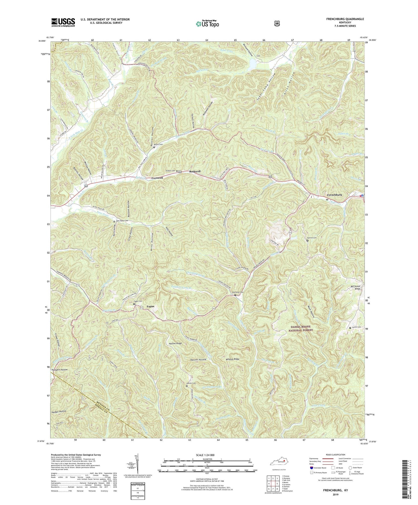
2022 topographic map quadrangle Frenchburg in the state of Kentucky. Scale: 1:24000. Based on the newly updated USGS 7.5' US Topo map series, this map is in the following counties: Menifee, Powell, Bath. The map contains contour data, water features, and other items you are used to seeing on USGS maps, but also has updated roads and other features. This is the next generation of topographic maps. Printed on high-quality waterproof paper with UV fade-resistant inks.
Quads adjacent to this one:
West: Means
Northwest: Preston
North: Olympia
Northeast: Salt Lick
East: Scranton
Southeast: Pomeroyton
South: Slade
Southwest: Stanton
This map covers the same area as the classic USGS quad with code o37083h6.
Contains the following named places: Adams Creek, Allen Hollow, Amos Cut, Amos Railroad Station, Apperson Post Office, Apperson Railroad Station, Ballard, Ballard Hollow, Bean Branch, Bear Branch, Bee Branch, Bet Cash Branch, Big Amos Creek, Blackburn Branch, Blackstand Branch, Blevins Hollow, Buchanan Cemetery, Bull Fork, Cain Branch, Camp Branch, Cave Branch, Clem Branch, Coburn, Coldiron Fork, Commissary Branch, Cornwell, Cornwell Branch, Cornwell Christian Church, Cornwell Post Office, Crisp Hollow, Crowe Hollow, Dog Trot, Dog Trot Fork, Dog Trot School, East Fork School, East Fork Slate, Fagan, Fagan Cemetery, Fagan Lookout Tower, Fagan Pentecostal Church of God, Fagan Post Office, Falling Timber Branch, Ferguson Branch, Flat Rock Branch, Frenchburg, Frenchburg Fire Department, Frenchburg Post Office, Goosetown School, Greenland Branch, Hall Hollow, Hall Sink Branch, Hathaway Creek, Hatton Cemetery, Hatton Hollow, Hatton Ridge, Haunted Cave Branch, Hawkins Branch, Hawkins Branch School, Indian Creek Church, Jewell Cemetery, Jim Branch, Joe Smallwood Branch, Leatherwood Fork, Leatherwood School, Little Amos Creek, Little East Fork, Mack Hollow, Menifee County High School, Menifee County Sheriff's Office, Mike Rowe Cemetery, Mill Seat Branch, Myers Fork, Norris Hollow, Ore Bank Hill Branch, Ox Yoke Branch, Patrick Cemetery, Peter Trace, Peter Trace School, Phillips Hollow, Pigeon Roost Hollow, Pitts Hollow, Pumpkin Hollow, Puncheon Camp Branch, Ratliff Branch, Rebel Trace, Reffitt Cemetery, Reffitt Hollow, Richard Hollow, Ringo Branch, Rothwell, Rothwell Hollow, Rothwell Post Office, Rothwell Railroad Station, Salt Lick Creek, Sentinel Railroad Station, Sim Long Branch, Slusher Cemetery, Smallwood Branch, Spencer Branch, Steels Branch, Stone Quarry Branch, Stonequarry, Stonequarry School, Sugar Camp Hollow, Susans Branch, Tabor Post Office, Tackett Hollow, West Menifee Division, Wildcat Ridge, Wills Hollow, ZIP Codes: 40322, 40346


