MyTopo
Scranton Kentucky US Topo Map
Couldn't load pickup availability
Also explore the Scranton Forest Service Topo of this same quad for updated USFS data
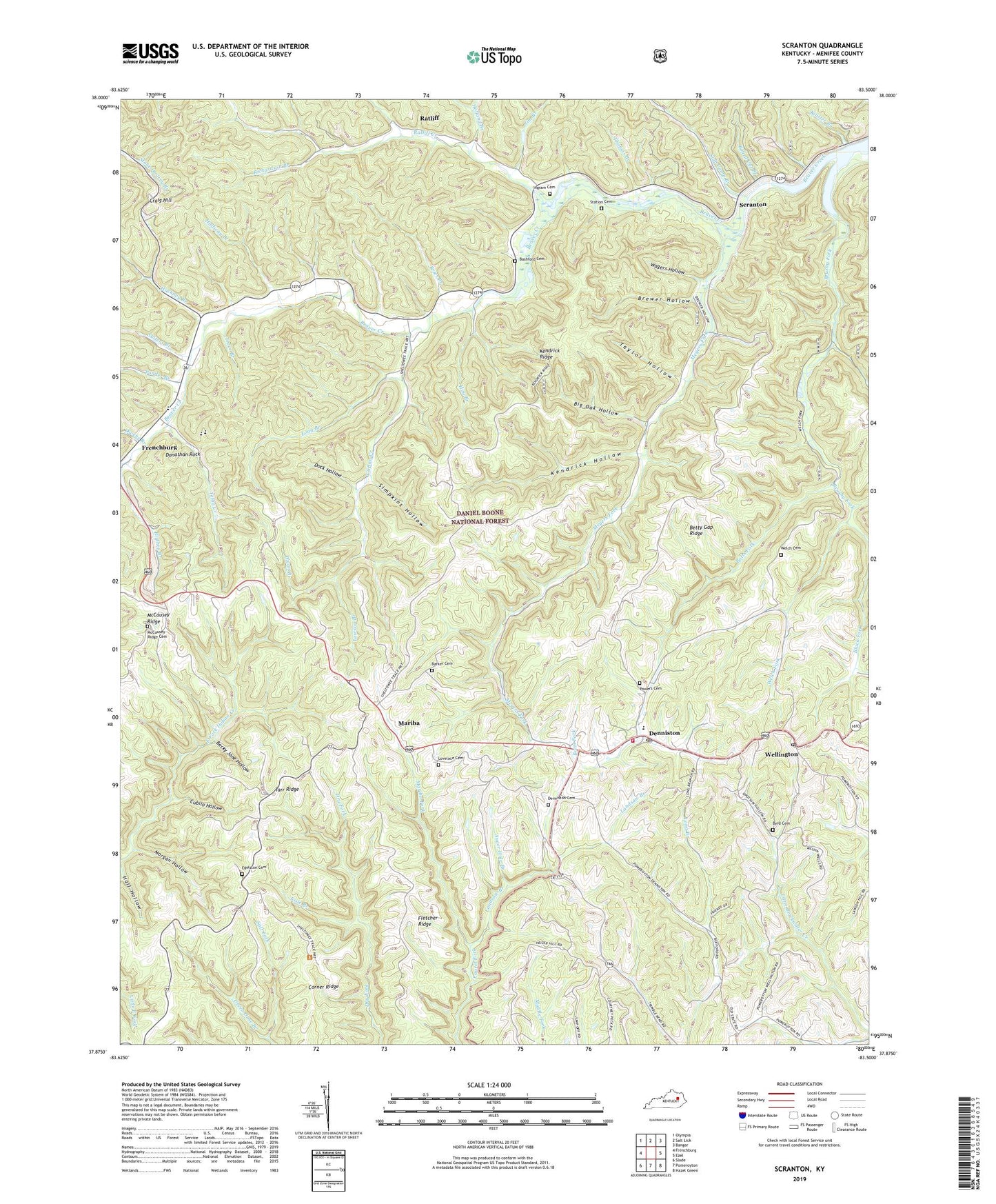
2022 topographic map quadrangle Scranton in the state of Kentucky. Scale: 1:24000. Based on the newly updated USGS 7.5' US Topo map series, this map is in the following counties: Menifee. The map contains contour data, water features, and other items you are used to seeing on USGS maps, but also has updated roads and other features. This is the next generation of topographic maps. Printed on high-quality waterproof paper with UV fade-resistant inks.
Quads adjacent to this one:
West: Frenchburg
Northwest: Olympia
North: Salt Lick
Northeast: Bangor
East: Ezel
Southeast: Hazel Green
South: Pomeroyton
Southwest: Slade
This map covers the same area as the classic USGS quad with code o37083h5.
Contains the following named places: Auger Hole Branch, Barker Cemetery, Bashford Cemetery, Becky Jane Hollow, Bethel Church, Betty Gap Ridge, Betty Gap School, Big Oak Hollow, Blythes Branch, Board Cut Branch, Botts, Botts Christian Church, Botts Elementary School, Botts Fire Department, Botts Fork, Brewer Hollow, Brier Branch, Brushy Fork, Byrd Cemetery, Carter Branch, City of Frenchburg, Clifton Creek, Clifton School, Cold Cave School, Corner Ridge, Craig Hill, Cubilo Hollow, Denniston, Denniston Cemetery, Denniston Post Office, Dock Hollow, Donathan Rock, Egelston Cemetery, Fletcher Ridge, Frenchburg Division, Green Gose Branch, Hackney Branch, Halfway Branch, Hill Top, Hill Top Church of God, Hog Branch, Holland Branch, Ingram Cemetery, Jim Branch, Josie Branch, Kendrick Hollow, Kendrick Ridge, Kendrick Ridge Church, Kendrick Ridge School, Kinster Branch, Landsaw Branch, Laurel Grove, Laurel Springs Baptist Church, Lawson Branch, Long Branch, Lovelace Cemetery, Mariba, Mariba Church of God, Mariba Fork, Mariba Post Office, McCausey Post Office, McCausey Railroad Station, McCausey Ridge, McCausey Ridge Cemetery, McCausey Ridge Lookout Tower, McCausey Ridge School, Menifee County, Menifee County Ambulance Service, Meyers Fork, Morgan Hollow, Myers Fork School, Owens Branch, Ponder Branch, Powers Cemetery, Ratliff, Ratliff Creek, Ratliff School, Richardson Branch, Scranton, Scranton Post Office, Simpkins Hollow, Slab Camp Branch, Station Cemetery, Suiters Branch, Tarr Ridge, Tarr Ridge Church, Tarr Ridge School, Taylor Hollow, Thomas Branch, Tolan Creek, Trace Branch, Trimble Bend, Trimble Bend School, United States Weather Station, Wagers Hollow, Welch Cemetery, Welch Church, Welch Fork, Wellington, Wellington Post Office, Wells School, West Denniston, Wynn Branch, ZIP Code: 40316


