MyTopo
Olympia Kentucky US Topo Map
Couldn't load pickup availability
Also explore the Olympia Forest Service Topo of this same quad for updated USFS data
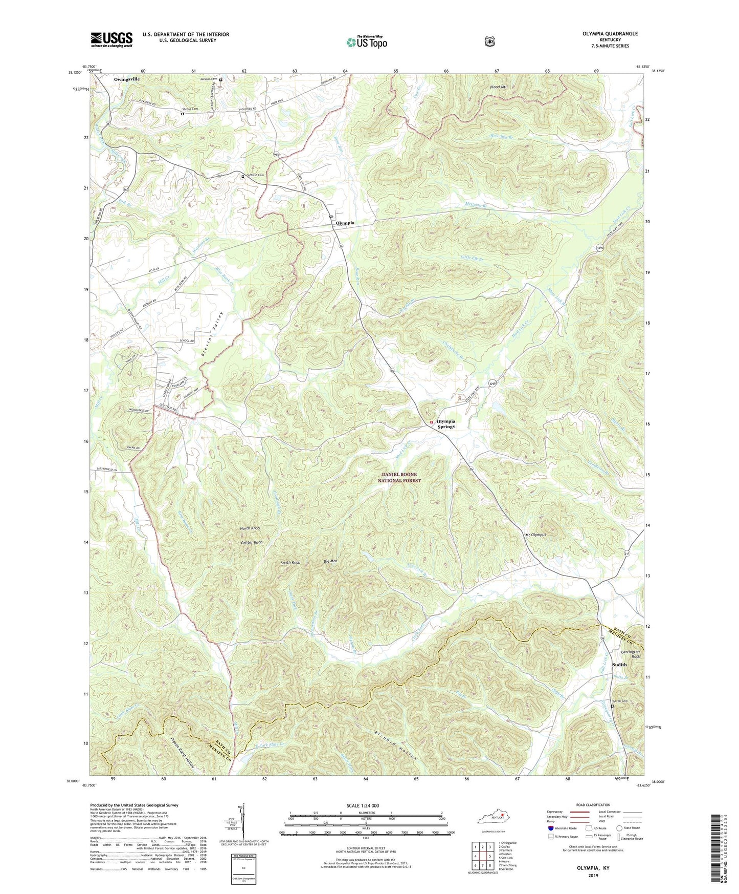
2022 topographic map quadrangle Olympia in the state of Kentucky. Scale: 1:24000. Based on the newly updated USGS 7.5' US Topo map series, this map is in the following counties: Bath, Menifee. The map contains contour data, water features, and other items you are used to seeing on USGS maps, but also has updated roads and other features. This is the next generation of topographic maps. Printed on high-quality waterproof paper with UV fade-resistant inks.
Quads adjacent to this one:
West: Preston
Northwest: Owingsville
North: Colfax
Northeast: Farmers
East: Salt Lick
Southeast: Scranton
South: Frenchburg
Southwest: Means
This map covers the same area as the classic USGS quad with code o38083a6.
Contains the following named places: Big Branch, Big Elk Branch, Big Mountain, Black Sulpher Spring, Blevins School, Blevins Valley, Blevins Valley Church, Blockhouse Iron Mine, Blue Bank Creek, Botts Branch, Carrington Branch, Carrington Rock, Center Knob, Chalybeate Branch, Clark Fork, Deer Lick Branch, Elys Branch, Flood Mountain, Gooden Branch, Howard Hill Mine, Jackson Cemetery, Jackson Schoolhouse, Johnson Branch, Little Elk Branch, Little Slate Creek, McCarty Branch, McGulley Branch, Mill Creek, Mill Creek Church, Mill Creek School, Mormon Church, Mount Olympus, Mud Lick Church, Mud Lick Creek, Mud Lick Youth Camp, Nichols Branch, North Knob, Oldfield Cemetery, Olympia, Olympia Christian Church, Olympia Lookout Tower, Olympia Post Office, Olympia Railroad Station, Olympia School, Olympia Springs, Olympia Springs Volunteer Fire Department, Olympia State Forest, Olympian Springs Church of God, Olympian Springs Post Office, Olympian Springs School, Pine Grove, Pine Grove School, Polk Branch, Pond Lick Branch, Preston School, Pugh Branch, Richardson Branch, Rockhouse Branch, Salt Lick School, Shrout Cemetery, Slate Blockhouse, Slate Creek Iron Works Post Office, Slate Lick Branch, South Knob, Stonequarry Creek, Suddith, Sudith, Sudith Post Office, Terrell Cemetery, Upper Salt Lick, Upper Salt Lick School, W R Belcher Airport, Washers Branch, ZIP Code: 40358


