MyTopo
Martin Kentucky US Topo Map
Couldn't load pickup availability
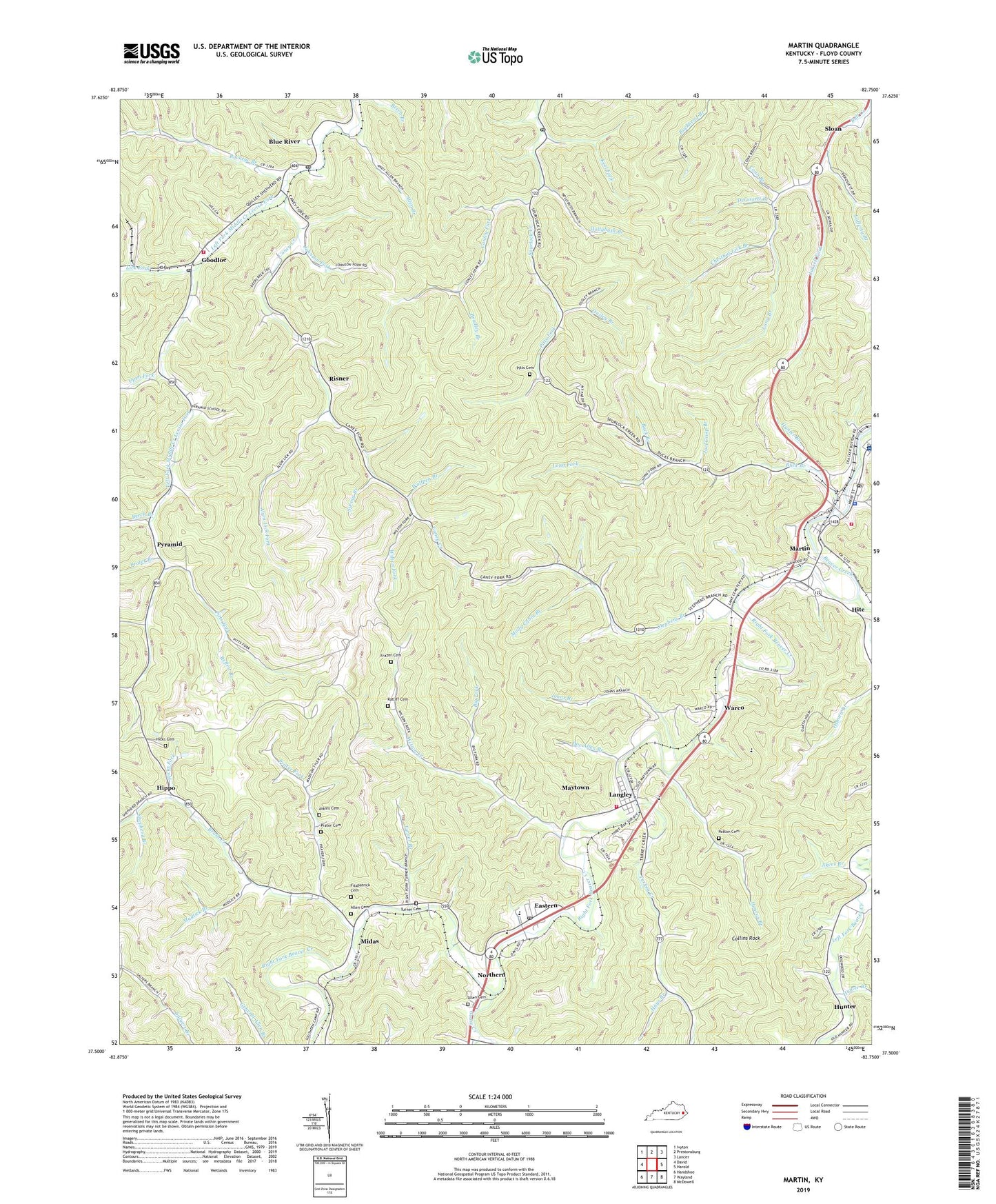
2022 topographic map quadrangle Martin in the state of Kentucky. Scale: 1:24000. Based on the newly updated USGS 7.5' US Topo map series, this map is in the following counties: Floyd. The map contains contour data, water features, and other items you are used to seeing on USGS maps, but also has updated roads and other features. This is the next generation of topographic maps. Printed on high-quality waterproof paper with UV fade-resistant inks.
Quads adjacent to this one:
West: David
Northwest: Ivyton
North: Prestonsburg
Northeast: Lancer
East: Harold
Southeast: McDowell
South: Wayland
Southwest: Handshoe
This map covers the same area as the classic USGS quad with code o37082e7.
Contains the following named places: Akers Branch, Allen Branch, Allen Cemetery, Allen Central High School, Alphoretta, Alum Lick Fork, Alum Lick School, Appalachian Regional Healthcare Our Lady of the Way Hospital, Atkins Cemetery, Beech Branch, Bethel Church, Big Fork, Blue River, Blue River Post Office, Bob Post Office, Bradley Branch, Brush Creek, Brush Creek School, Buck Branch, Buck Branch School, Buckeye Branch, Buckeye School, Buckeye Station, Caney Creek, Chestnut Lick Branch, City of Martin, Cold Springs Church, Cold Springs School, Collins Rock, Conley Fork, Conley School, Conn Branch, David Area Volunteer Fire Department, Derossett Branch, Derossett School, Doc Allen Branch, Dock Post Office, Eastern, Eastern Village Post Office, Fitzpatrick Cemetery, Floyd County Vocational School, Frazer Cemetery, Fredville Post Office, Goodloe, Goose Creek, Gosling Branch, Hale Fork, Hays Branch, Henrys Branch, Hicks Cemetery, Hicks Fork, Hippo, Hite, Hollybush Branch, Hollybush Fork, Hunter, Hunter Branch, Jarrell Fork, Joel Crisp Branch, Johns Branch, Johnson Fork, Johnson School, Keel Fork, Lafferty Branch, Lafferty School, Langley, Left Beaver Church, Left Fork Beaver Creek, Lick Fork, Long Branch, Long Fork, Manton, Martin, Martin Police Department, Martin Post Office, Martin Volunteer Fire Department, Martin-Allen Division, Maytown Census Designated Place, Maytown Volunteer Fire Department, Midas, Molly Cabin Branch, Mountain Christian Academy, Mud Creek Baptist Church, Mudlick Branch, Northern, Notch Block Fork, Open Fork, Open Fork School, Ousley Branch, Patton Cemetery, Permele Station, Peter Branch, Philadelphia Church, Pitts Cemetery, Pitts Fork, Pitts Fork School, Pitts School, Prater Branch, Prater Cemetery, Prater Fork, Prater Fork School, Pyramid, Ratliff Cemetery, Reffett Branch, Right Fork Beaver Creek, Risner, Risner Division, Samson Station, Shepherd Branch, Sloan, Spring Branch, Stephens Branch, Stephens Branch Church, Stephens Branch School, Turkey Creek, Turner Branch, Turner Cemetery, Warco, Wilson Creek, Wilson Fork, Wolfpen Branch, ZIP Codes: 41622, 41645, 41649


