MyTopo
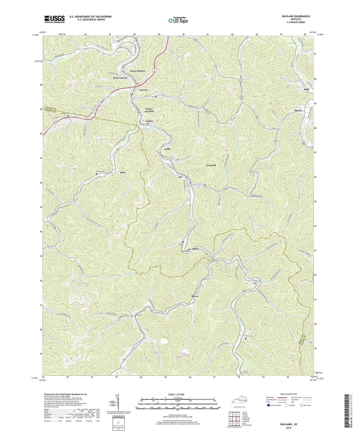
Wayland Kentucky US Topo Map
Couldn't load pickup availability
2022 topographic map quadrangle Wayland in the state of Kentucky. Scale: 1:24000. Based on the newly updated USGS 7.5' US Topo map series, this map is in the following counties: Floyd, Knott. The map contains contour data, water features, and other items you are used to seeing on USGS maps, but also has updated roads and other features. This is the next generation of topographic maps. Printed on high-quality waterproof paper with UV fade-resistant inks.
Quads adjacent to this one:
West: Handshoe
Northwest: David
North: Martin
Northeast: Harold
East: McDowell
Southeast: Wheelwright
South: Kite
Southwest: Hindman
This map covers the same area as the classic USGS quad with code o37082d7.
Contains the following named places: Bear Branch, Beaver Creek Volunteer Fire Department / Knott County Emergency Rescue Squad, Betty, Betty Post Office, Big Branch, Big Springs Branch, Bolin Branch, Bosco, Bosco School, Bradley Branch, Bradley Cemetery, Caney Fork, Caney Fork Old Regular Baptist Church, Chafins Cemetery, City of Wayland, Collins Cemetery, Coolwater Branch, Dark Hollow School, Dema, Drift Freewill Baptist Church, Dry Fork, Esteps Branch, Estill, Four Mile School, Fourmile Branch, Garrett, Garrett Post Office, Garrett Volunteer Fire Department, General Allen Branch, Gibson Cemetery, Gibson Creek, Glo, Golden Years Rest Home, Green Branch, Hampton Branch, Howard Branch, Hueysville, Hueysville Post Office, Huff Branch, Hunter Branch, Jones Fork, Jump Station, Lackey, Lackey Post Office, Lackey Railroad Station, Left Beaver Volunteer Fire Department and Rescue Squad Station 3, Lickskillet Branch, Little Doty Branch, Little Union Church, Lower Caney School, Lower Rock Fork School, Martin Branch, Martin Cemetery, McDowell Post Office, Mill Branch, Mill Creek, Minnie, Motts Branch, Muddy Branch, Old Beaver Church of Regular Baptist, Oldhouse Branch, Patten Branch, Pentecostal Church of Christ, Plum Branch, Porter, Porter Junction, Porter School, Raven, Raven Post Office, Right Fork Steele Creek, Rock Fork, Rock Fork Old Regular Baptist Church, Salisbury Branch, Salisbury School, Saltlick Creek, Salyers Branch, Salyers Branch School, School Number Six, Shop Branch, Sizemore Branch, Sizemore School, Slone Branch, Slone School, Sly Branch, Stamper Branch, Steel Creek Regular Baptist Church, Steele Creek, Stonecoal Branch, Stonecoal Church, Stonecoal School, Sugarcamp Branch, Terry Branch, Thornsbury Branch, Topmost Baptist Church, Triplett Branch, Triplett Conley Cemetery, Turkey Creek School, Turner Cemetery, Wayland, Wayland Division, Wayland Post Office, Wayland United Methodist Church, Wayland Volunteer Fire Department, Welco Station, Wells Coal Mine, West Garrett, Zion Deliverance Church, ZIP Codes: 41630, 41643, 41666, 41859, 41861


