MyTopo
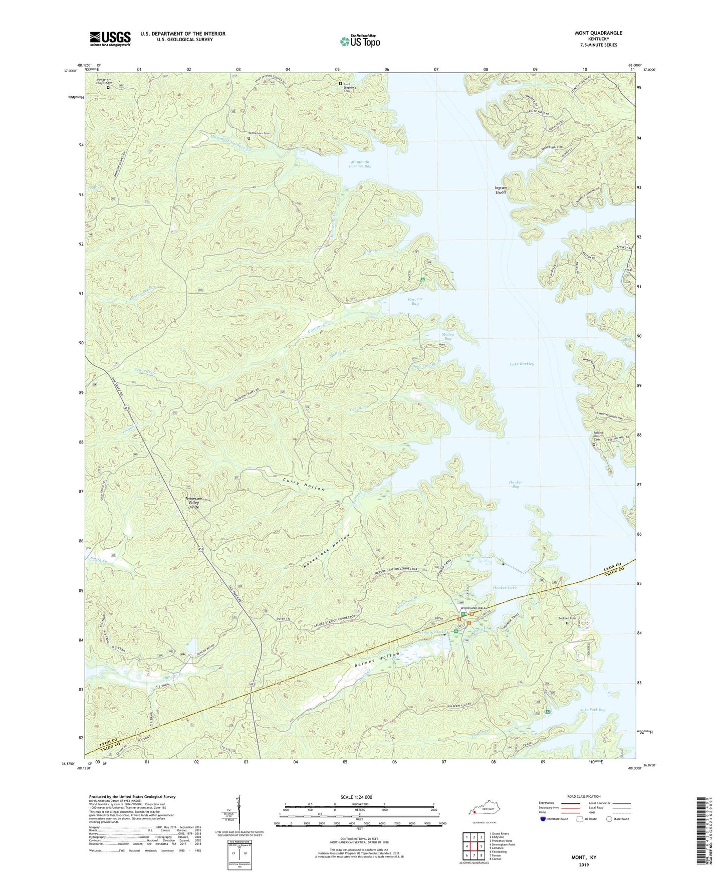
Mont Kentucky US Topo Map
Couldn't load pickup availability
Also explore the Mont Forest Service Topo of this same quad for updated USFS data
2022 topographic map quadrangle Mont in the state of Kentucky. Scale: 1:24000. Based on the newly updated USGS 7.5' US Topo map series, this map is in the following counties: Lyon, Trigg. The map contains contour data, water features, and other items you are used to seeing on USGS maps, but also has updated roads and other features. This is the next generation of topographic maps. Printed on high-quality waterproof paper with UV fade-resistant inks.
Quads adjacent to this one:
West: Birmingham Point
Northwest: Grand Rivers
North: Eddyville
Northeast: Princeton West
East: Lamasco
Southeast: Canton
South: Fenton
Southwest: Fairdealing
This map covers the same area as the classic USGS quad with code o36088h1.
Contains the following named places: Barnes Hollow, Bethlehem Cemetery, Buckner Cemetery, Cannon Spring, Center Furnace, Commerce Landing, Cravens Bay, Cravens Creek, Curry Hollow, Deer Lick Branch, Dewey, Duncan Creek, Fulton Creek, Fulton Furnace Historical Marker, Green Branch, Hematite Church, Hematite Lake, Hematite Trail, Henderson Chapel Cemetery, Honker Bay, Honker Lake, Hurricane Creek, Ingram Shoals, Jake Fork, Jake Fork Bay, Kuhn Creek, Land Between the Lakes Division, Long Creek, Mammoth Furnace Bay, Mammoth Furnace Creek, Mammoth Furnace Historical Marker, McNabb Creek, Molloy Bay, Molloy Branch, Mont, Motley Creek, Negrorow Branch, North Fork Dryden Creek, Racetrack Hollow, Rolling Hills Cemetery, Saint Stephen's Cemetery, Shelley Island, South Fork Dryden Creek, Taylor Creek, WKMS-FM (Murray), Woodson Chapel


