MyTopo
Uniontown Kentucky US Topo Map
Couldn't load pickup availability
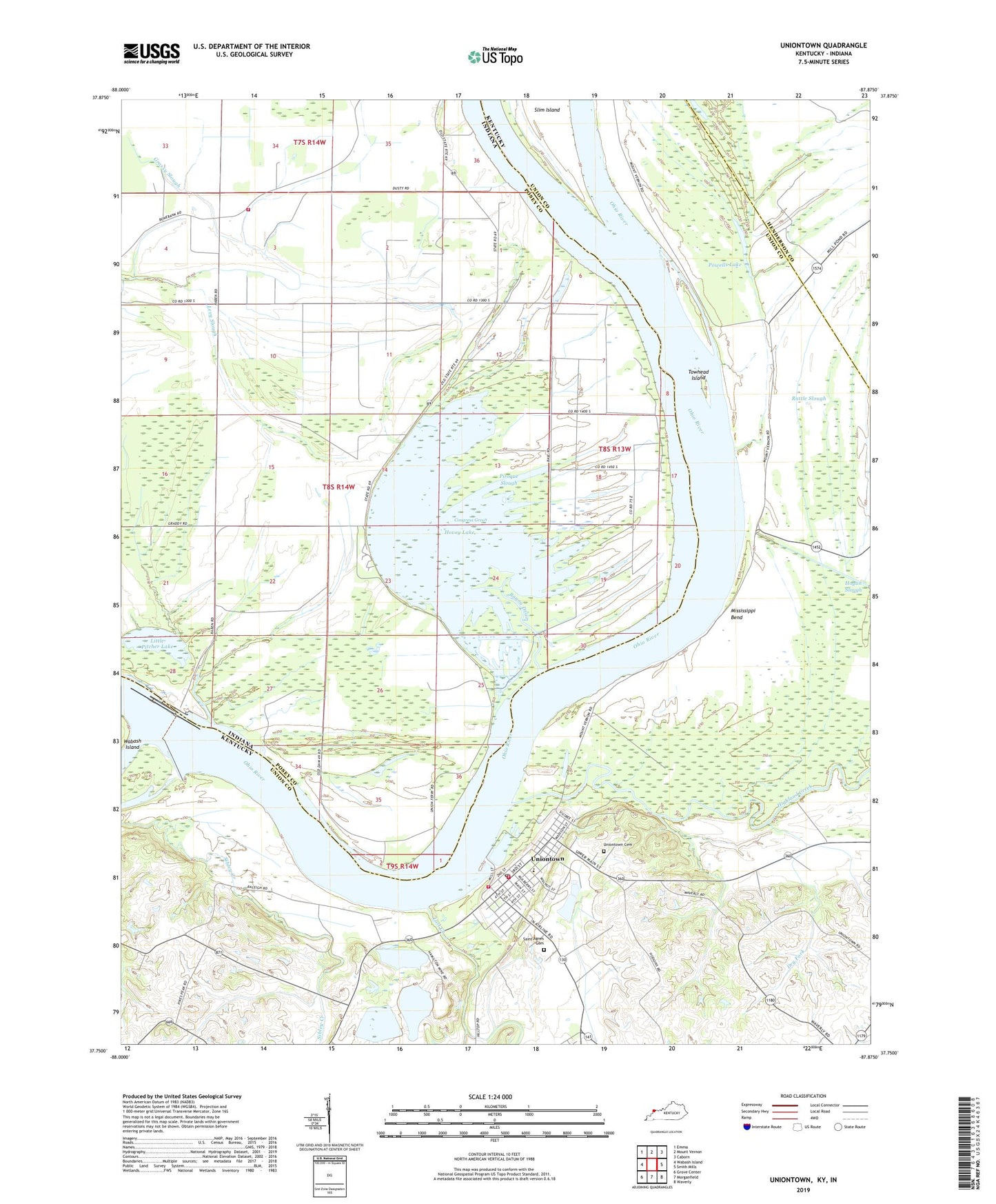
2022 topographic map quadrangle Uniontown in the states of Kentucky, Indiana. Scale: 1:24000. Based on the newly updated USGS 7.5' US Topo map series, this map is in the following counties: Union, Posey, Henderson. The map contains contour data, water features, and other items you are used to seeing on USGS maps, but also has updated roads and other features. This is the next generation of topographic maps. Printed on high-quality waterproof paper with UV fade-resistant inks.
Quads adjacent to this one:
West: Wabash Island
Northwest: Emma
North: Mount Vernon
Northeast: Caborn
East: Smith Mills
Southeast: Waverly
South: Morganfield
Southwest: Grove Center
This map covers the same area as the classic USGS quad with code o37087g8.
Contains the following named places: Bayou Drain, Boxtown, Camp Breckinridge Pumping Station, City of Uniontown, Clements Branch, Congress Green, Dam Number 49, Dry Fork, Dry Lake, Farmers Chapel, Fish Slough, Grassy Slough, Highland Creek, Hovey Lake, Hovey Lake Fish and Wildlife Area, John T. Myers Lock and Dam, Little Pitcher Lake, Lost Creek, Mississippi Bend, Piroque Slough, Point Township Volunteer Fire Department, Powells Lake, Rattle Slough, Saint Agnes Cemetery, Slim Island, Towhead Island, Township of Point, Union County Volunteer Fire Department, Uniontown, Uniontown City Cemetery, Uniontown City Fire Department, Uniontown Division, Uniontown Police Department, Uniontown Post Office, ZIP Code: 42461


