MyTopo
Baxter Bayou Louisiana US Topo Map
Couldn't load pickup availability
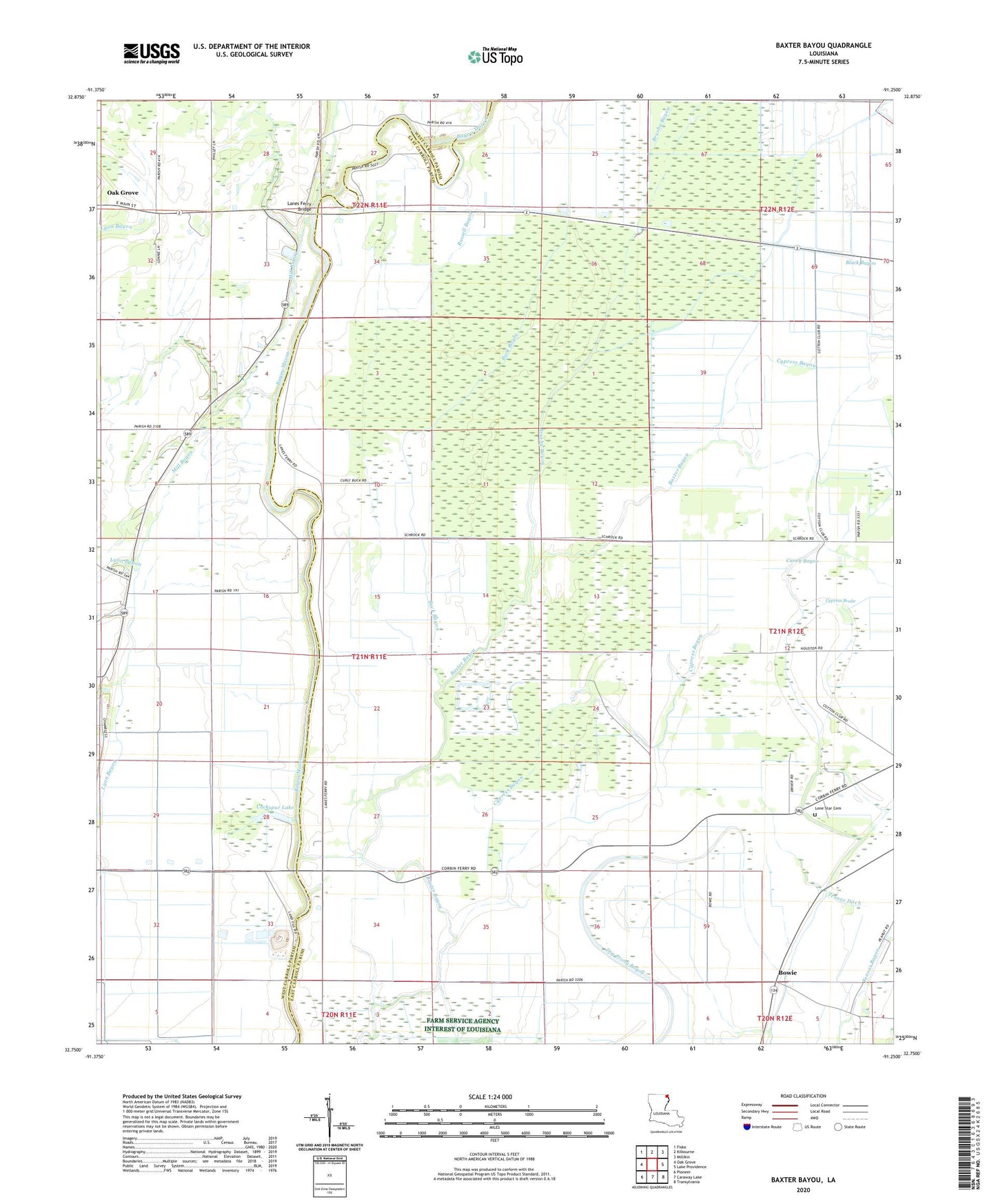
2024 topographic map quadrangle Baxter Bayou in the state of Louisiana. Scale: 1:24000. Based on the newly updated USGS 7.5' US Topo map series, this map is in the following counties: East Carroll, West Carroll. The map contains contour data, water features, and other items you are used to seeing on USGS maps, but also has updated roads and other features. This is the next generation of topographic maps. Printed on high-quality waterproof paper with UV fade-resistant inks.
Quads adjacent to this one:
West: Oak Grove
Northwest: Fiske
North: Kilbourne
Northeast: Millikin
East: Lake Providence
Southeast: Transylvania
South: Caraway Lake
Southwest: Pioneer
This map covers the same area as the classic USGS quad with code o32091g3.
Contains the following named places: Berry Airport, Bowie, Bowie Oil Field, Bowie Plantation, Brushy Bayou, Buck Bayou, Caney Bayou, Cockspur Lake, Corbin Ferry Church, Corbins Ferry, Cordley School, Cypress Bayou, Cypress Brake, Dry Prong Bayou, Johnson Lake, KWCL-AM (Oak Grove), KWCL-FM (Oak Grove), Lanes Ferry Bridge, Lanes Ferry Church, Lickskillet School, Loggy Bayou, Lone Star Cemetery, Oakland Ridge Church, Olivedell Church, Parish Governing Authority District 3, Pilgrim Rest Church, Ruseell Bayou Oil Field, Russell Bayou, Tensas Ditch, The Bible Missionary Church, Tompkins Plantation, Waddell, ZIP Code: 71254