MyTopo
Bonita SW Louisiana US Topo Map
Couldn't load pickup availability
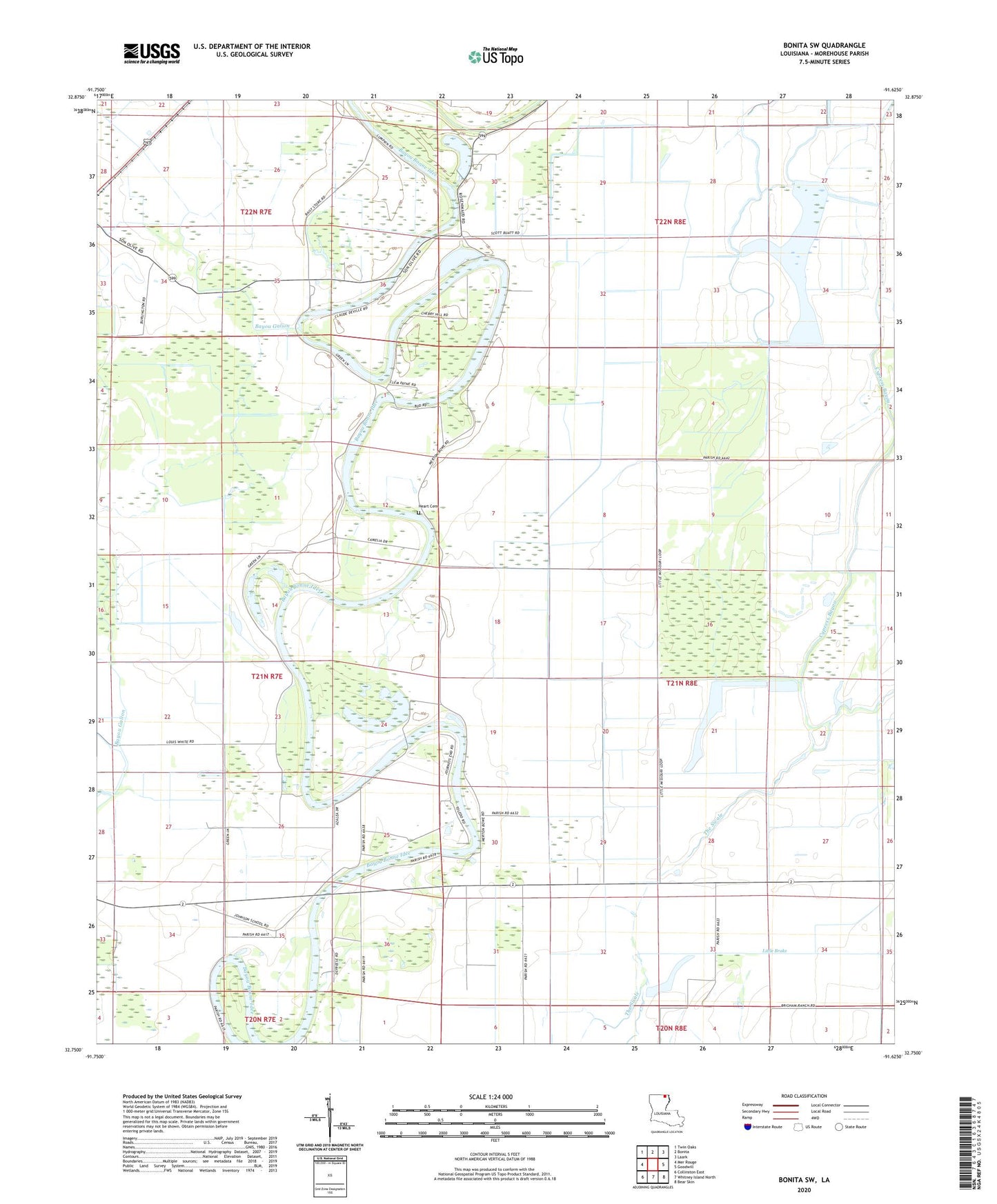
2024 topographic map quadrangle Bonita SW in the state of Louisiana. Scale: 1:24000. Based on the newly updated USGS 7.5' US Topo map series, this map is in the following counties: Morehouse. The map contains contour data, water features, and other items you are used to seeing on USGS maps, but also has updated roads and other features. This is the next generation of topographic maps. Printed on high-quality waterproof paper with UV fade-resistant inks.
Quads adjacent to this one:
West: Mer Rouge
Northwest: Twin Oaks
North: Bonita
Northeast: Laark
East: Goodwill
Southeast: Bear Skin
South: Whitney Island North
Southwest: Collinston East
This map covers the same area as the classic USGS quad with code o32091g6.
Contains the following named places: Bayou Galion, Cherry Hill Church, Cherry Hill Church Number 1, Cherry Hill Church Number 2, Delemar Bayou, Heart Cemetery, Johnson School, Little Brake, Mount Olive Church, Pentecostal Church, Robertson Chapel, The Swale, ZIP Code: 71261