MyTopo
Whitney Island North Louisiana US Topo Map
Couldn't load pickup availability
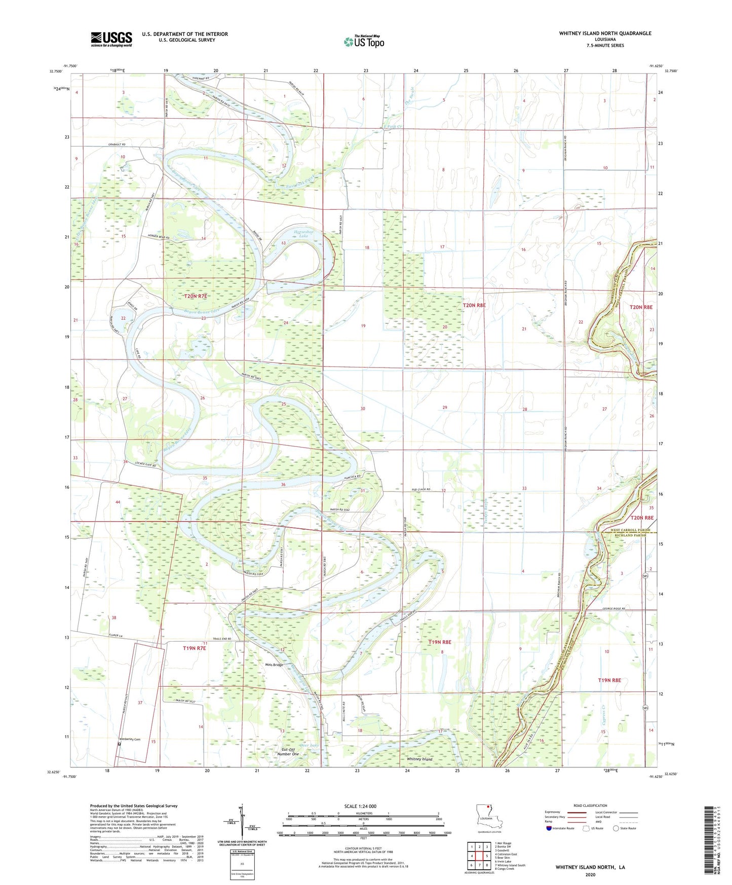
2024 topographic map quadrangle Whitney Island North in the state of Louisiana. Scale: 1:24000. Based on the newly updated USGS 7.5' US Topo map series, this map is in the following counties: Morehouse, Richland, West Carroll. The map contains contour data, water features, and other items you are used to seeing on USGS maps, but also has updated roads and other features. This is the next generation of topographic maps. Printed on high-quality waterproof paper with UV fade-resistant inks.
Quads adjacent to this one:
West: Collinston East
Northwest: Mer Rouge
North: Bonita SW
Northeast: Goodwill
East: Bear Skin
Southeast: Congo Creek
South: Whitney Island South
Southwest: Irwin Lake
This map covers the same area as the classic USGS quad with code o32091f6.
Contains the following named places: Alexander Church, Bayou Bonne Idee Dam, Cut-Off Number One, Deer Lake, East Fork Creek, Horseshoe Church, Horseshoe Lake, Horseshoe Lake Dam, Moss Bridge, Newhope Church, Parish Governing Authority District 2, Saint Liberty Church, Trails End Church, Turkey Bayou, Ward Five, Wimberley Cemetery