MyTopo
Laark Louisiana US Topo Map
Couldn't load pickup availability
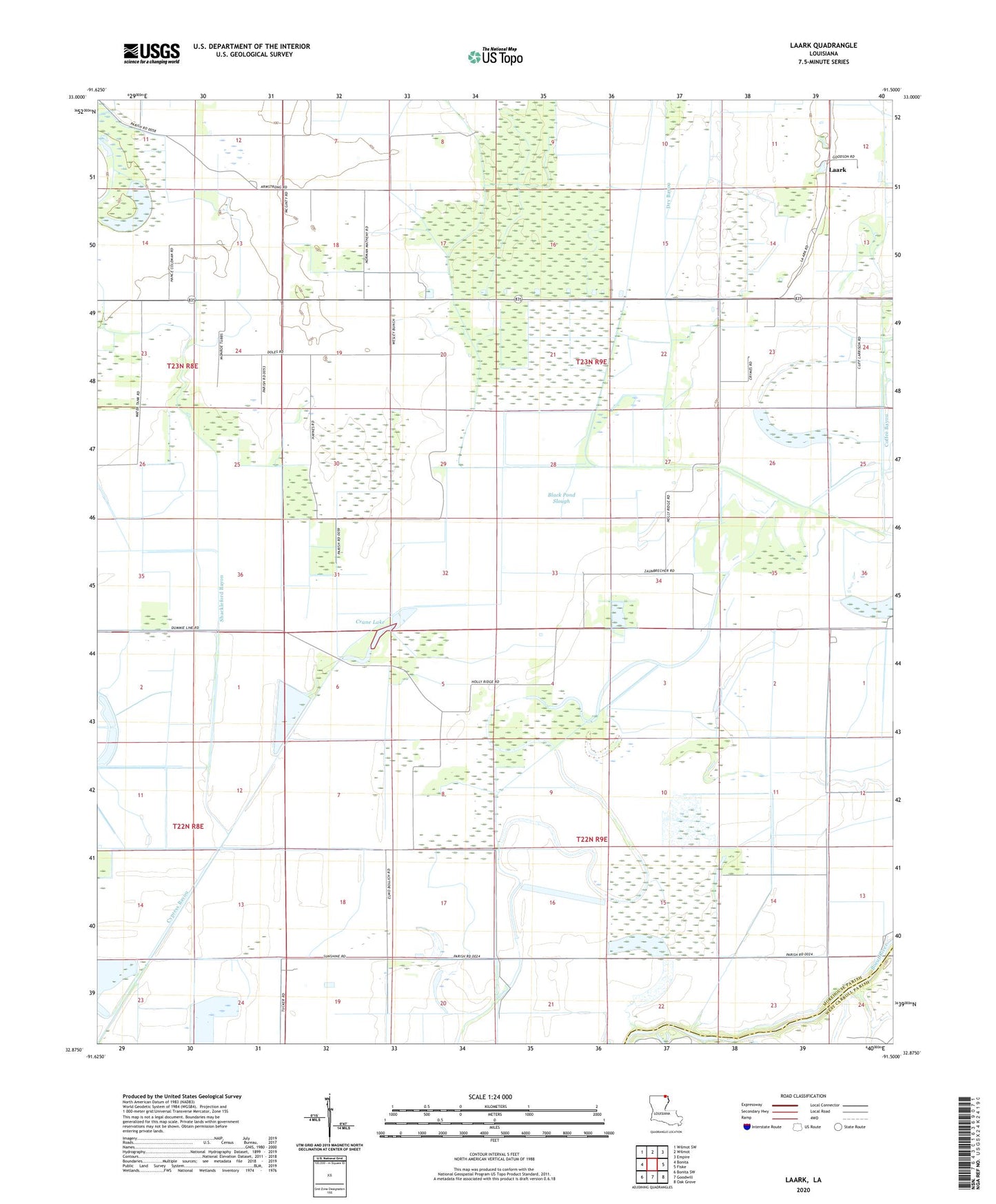
2024 topographic map quadrangle Laark in the state of Louisiana. Scale: 1:24000. Based on the newly updated USGS 7.5' US Topo map series, this map is in the following counties: Morehouse, West Carroll. The map contains contour data, water features, and other items you are used to seeing on USGS maps, but also has updated roads and other features. This is the next generation of topographic maps. Printed on high-quality waterproof paper with UV fade-resistant inks.
Quads adjacent to this one:
West: Bonita
Northwest: Wilmot SW
North: Wilmot
Northeast: Empire
East: Fiske
Southeast: Oak Grove
South: Goodwill
Southwest: Bonita SW
This map covers the same area as the classic USGS quad with code o32091h5.
Contains the following named places: Black Pond Slough, Crane Lake, Cypress Bayou, Dam 72, Holly Ridge Church, Laark, Little Zion Church, McGinty School, Mount Zion Church Number 5, New Hope Church, Shackleford Bayou, ZIP Code: 71250