MyTopo
Latanier Louisiana US Topo Map
Couldn't load pickup availability
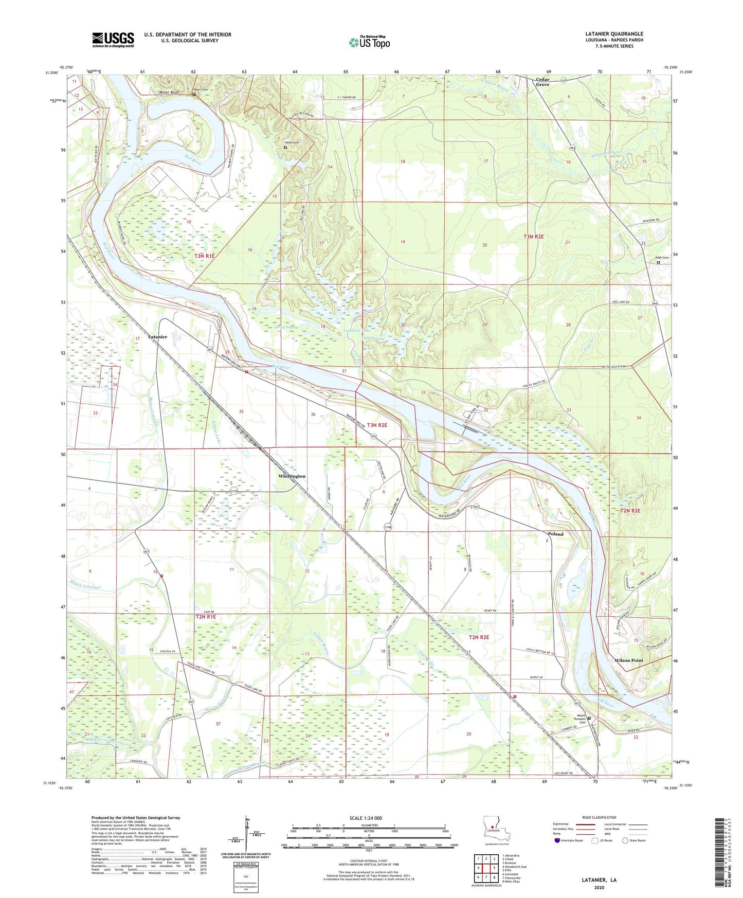
2024 topographic map quadrangle Latanier in the state of Louisiana. Scale: 1:24000. Based on the newly updated USGS 7.5' US Topo map series, this map is in the following counties: Rapides. The map contains contour data, water features, and other items you are used to seeing on USGS maps, but also has updated roads and other features. This is the next generation of topographic maps. Printed on high-quality waterproof paper with UV fade-resistant inks.
Quads adjacent to this one:
West: Woodworth East
Northwest: Alexandria
North: Libuse
Northeast: Buckeye
East: Effie
South: Cheneyville
Southwest: Lecompte
This map covers the same area as the classic USGS quad with code o31092b3.
Contains the following named places: Bayou Lamourie, Bayou Latanier, Beaver Dam Landing, Big Lake, Bonnegent Landing, Cedar Grove, Chatlin Lake, Compton Lake, Compton Lake Canal, Creole Landing, Cummings Landing, D A Smith Landing, Dysant Landing, Echo - Poland Volunteer Fire Department Station 1, Echo - Poland Volunteer Fire Department Station 2, Echo - Poland Volunteer Fire Department Station 3, Elbow Lake, Gum Point Landing, Harris Ferry, Hog Lake, Indian Bayou, Jones Quarters Landing, Latanier, Latanier Church, Latanier Landing, Latanier School, Lick Bayou, Lockhart Lake, Magda, Miller Bluff, Mount Pleasant Cemetery, Mount Pleasant Church, New Morning Glory Church, Overton Lock and Dam, Palo Alto Landing, Peart Cemetery, Pearts Landing, Poland, Poland Baptist Church, Poland High School, Poland Junior High School, Richland, Riverview Baptist Church, Rodgers Landing, Ruby Lookout Tower, Rush Landing, Saint Lukes Church, Saint Marks Church, Smith Landing, Spring Bayou, Stonewall Landing, Stonewalls, Tarkill Lake, Tiger Lake, Whittington, Wilson Bayou, Wilson Point, Wilsons Ferry, Wise Cemetery, Wise Chapel, Wises, Wises Landing, Zion Church, ZIP Code: 71302