MyTopo
Lecompte Louisiana US Topo Map
Couldn't load pickup availability
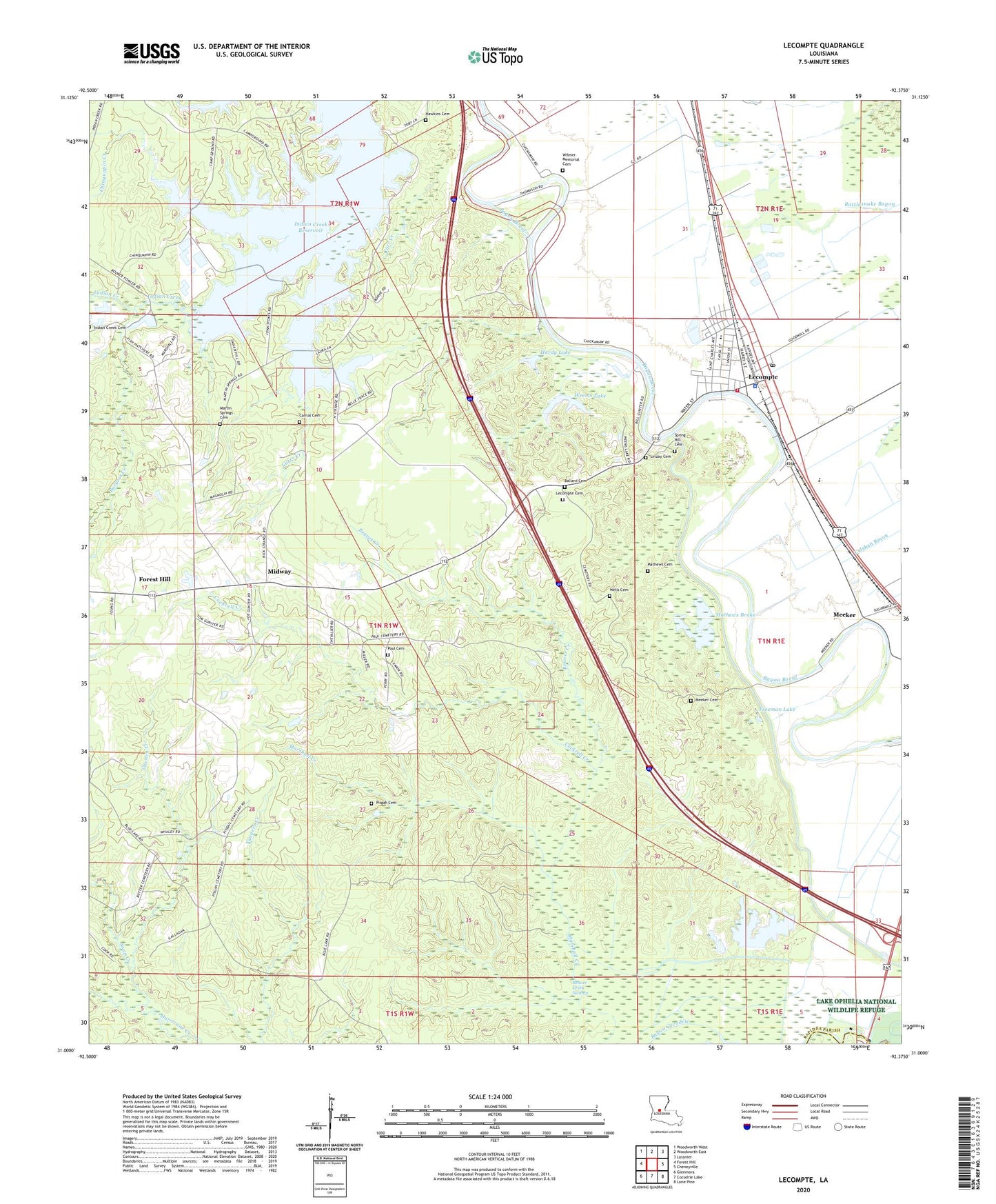
2024 topographic map quadrangle Lecompte in the state of Louisiana. Scale: 1:24000. Based on the newly updated USGS 7.5' US Topo map series, this map is in the following counties: Rapides, Evangeline. The map contains contour data, water features, and other items you are used to seeing on USGS maps, but also has updated roads and other features. This is the next generation of topographic maps. Printed on high-quality waterproof paper with UV fade-resistant inks.
Quads adjacent to this one:
West: Forest Hill
Northwest: Woodworth West
North: Woodworth East
Northeast: Latanier
East: Cheneyville
Southeast: Lone Pine
South: Cocodrie Lake
Southwest: Glenmora
This map covers the same area as the classic USGS quad with code o31092a4.
Contains the following named places: Alexander State Forest, Ballard Cemetery, Bayou Cocodrie Dam, Beaver Creek, Beaver Creek Swamp, Beechfish Fish Hatchery, Burgess Creek, Carnal Cemetery, Carr Creek, Carrs Creek, Carter C Raymond Junior High School, Cedar Grove Church, Cheney Creek, Cheneyville Ward Three, Chinquapin Creek, Cockrell Creek, Freeman Lake, Good Hope Church, Hardy Lake, Hawkins Cemetery, Hobson, Indian Creek, Indian Creek Cemetery, Indian Creek Reservoir, KALB-TV (Alexandria), KZMZ-FM (Alexandria), Lecompte, Lecompte Cemetery, Lecompte Police Department, Lecompte Volunteer Fire Department Station 1, Linzay Cemetery, Living Tabernacle Church, Marshall Creek, Martin Springs Cemetery, Mathews Brake, Mathews Cemetery, Meeker, Meeker Cemetery, Midway, Mount Lebanon Baptist Church, Paul Cemetery, Pisgah Cemetery, Pisgah Church, Rapides High School, Red River Academy School, Sartori, Smith Mill School, Soap Creek, South Rapides Academy, Spring Hill Cemetery, Town of Lecompte, Weems Lake, Wells Cemetery, Wilmer Memorial Cemetery, ZIP Code: 71430


