MyTopo
Mangham Louisiana US Topo Map
Couldn't load pickup availability
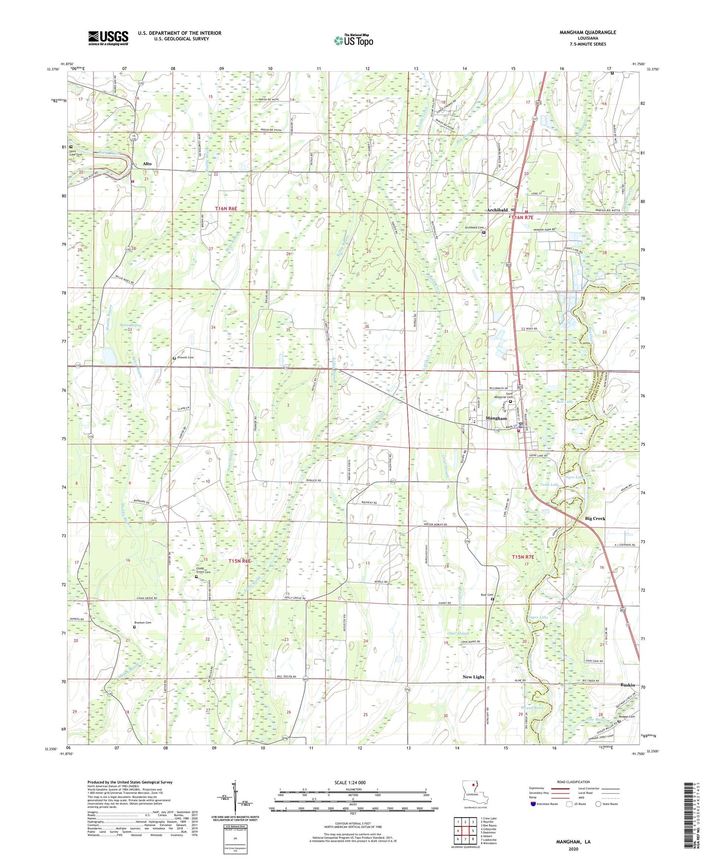
2024 topographic map quadrangle Mangham in the state of Louisiana. Scale: 1:24000. Based on the newly updated USGS 7.5' US Topo map series, this map is in the following counties: Richland, Franklin. The map contains contour data, water features, and other items you are used to seeing on USGS maps, but also has updated roads and other features. This is the next generation of topographic maps. Printed on high-quality waterproof paper with UV fade-resistant inks.
Quads adjacent to this one:
West: Gilleyville
Northwest: Crew Lake
North: Rayville
Northeast: Bee Bayou
East: Baskinton
Southeast: Winnsboro
South: Liddieville
Southwest: Hebert
This map covers the same area as the classic USGS quad with code o32091c7.
Contains the following named places: Alto, Archibald, Archibald - Alto Fire Station, Archibald Cemetery, Archibald Post Office, Ash Slough, Bee Bayou, Bell Lake, Bethlehem Church, Big Creek, Bobby Jones Flying Service Inc Airport, Brunson Cemetery, Buie Cemetery, Caney Bayou, Cedar Church, China Grove Cemetery, China Grove Church, Dan Lake, Dry Fork Creek, Four Forks, Gwin Cemetery, Gwin Memorial Cemetery, Hayes Lake, Holly Grove Church, Hopewell Church, Kelley Bayou, Little Creek Church, Long Cherry Church, Mangham, Mangham Elementary School, Mangham High School, Mangham Junior High School, Mangham Police Department, Mangham Volunteer Fire Department, Morning Star Church, Mose Bayou, New Bethel Church, New Light, New Light Church, Otter Slough, Parish Governing Authority District 7, Persimmon Pond, Prewitt Cemetery, Reagan Cemetery, Richland Career Center, Round Pond, Saint Luke Cemetery, Saint Matthew Church, Sayre Lake, Shady Grove Church, Spice Bayou, Tank Lake, Town of Mangham, Ward Five, Ward Four, Wild Dog Creek, ZIP Code: 71259