MyTopo
Mansfield Louisiana US Topo Map
Couldn't load pickup availability
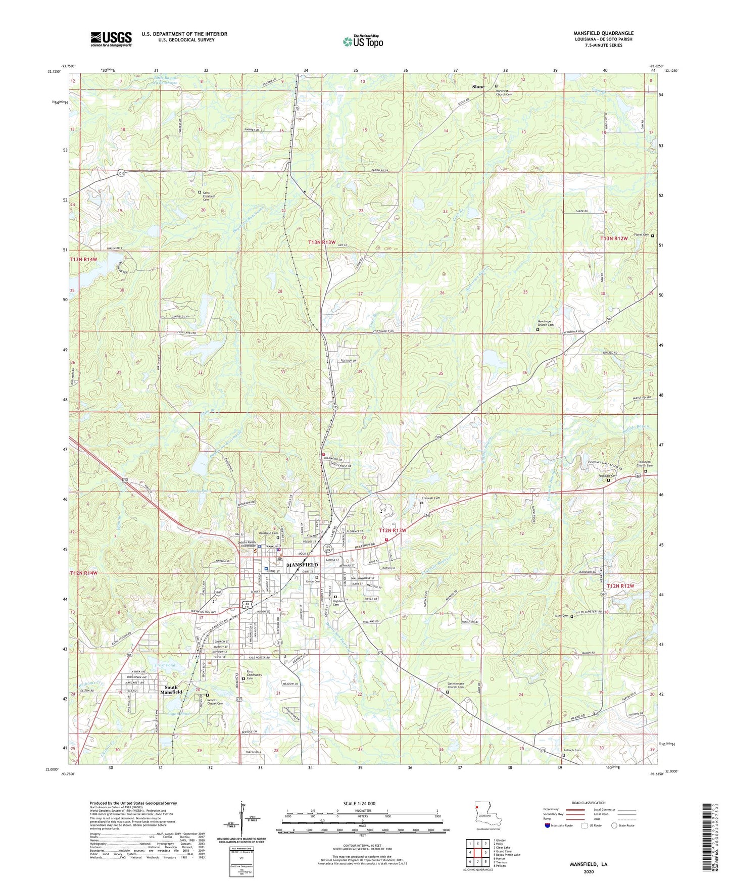
2024 topographic map quadrangle Mansfield in the state of Louisiana. Scale: 1:24000. Based on the newly updated USGS 7.5' US Topo map series, this map is in the following counties: De Soto. The map contains contour data, water features, and other items you are used to seeing on USGS maps, but also has updated roads and other features. This is the next generation of topographic maps. Printed on high-quality waterproof paper with UV fade-resistant inks.
Quads adjacent to this one:
West: Grand Cane
Northwest: Gloster
North: Holly
Northeast: Clear Lake
East: Bayou Pierre Lake
Southeast: Pelican
South: Trenton
Southwest: Hunter
This map covers the same area as the classic USGS quad with code o32093a6.
Contains the following named places: Allen Cemetery, Antioch Baptist Church, Bayou Pierre, Buffalo Bayou Gas Field, Christ Memorial Episcopal Church, City of Mansfield, Corinth Baptist Church, Creswell Cemetery, De Soto Heights, De Soto Junior High School, De Soto Parish, De Soto Parish Courthouse, De Soto Parish Detention Center, De Soto Parish Fire District 8, De Soto Parish Library, De Soto Plaza Shopping Center, DeSoto Alternative School, DeSoto Career Academy School, DeSoto Parish Sheriff's Office, DeSoto Regional Health System, East Side Church of God, Elam Branch, Elmwood, Emmanuel Baptist Church, Fellowship Baptist Church, First Baptist Church, First Christian Church, First United Methodist Church, Flores Cemetery, Fourmile Bayou, Frost Pond, Heritage Manor Nursing Home, Hewitt Memorial Presbyterian Church, Hickory Hills Estates, Highland Park, Jaycees Park, Jenkins Pond, Johnson Elementary School, KDXI-AM (Mansfield), KJVC-FM (Mansfield), Little Bayou Na Benchasse, Logan Pond, Mansfield, Mansfield City Police Department, Mansfield Elementary School, Mansfield Elementary School PK - 2, Mansfield Female College, Mansfield Fire Department Station 1, Mansfield Fire Department Station 2, Mansfield Gas Field, Mansfield High School, Mansfield Historic District, Mansfield Middle School, Mansfield Municipal Building, Mansfield Post Office, Mansfield Seventh Day Adventist Church, Mansfield State Historic Site, Mansfield United Pentecostal Church, Meadow Park, Nabors Pond, New East Baptist Church, New Hope Baptist Church, New Hope School, New Rockdale, New Saint Elizabeth Church, Northwest Louisiana Technical College Mansfield Campus, Oak Hill, Porter Place, Rockdale Church, Saint Elizabeth Cemetery, Saint Elizabeth Church, Saint James African Methodist Episcopal Church, Saint Josephs Catholic Church, Slone, South Mansfield, Southside Baptist Church, Terrel Church, Thomas Chapel, Town and Country School, Village of South Mansfield, Ward Four, Wesley United Methodist Church, Wildwood, Willow Glen, ZIP Code: 71052


