MyTopo
Caribou Maine US Topo Map
Couldn't load pickup availability
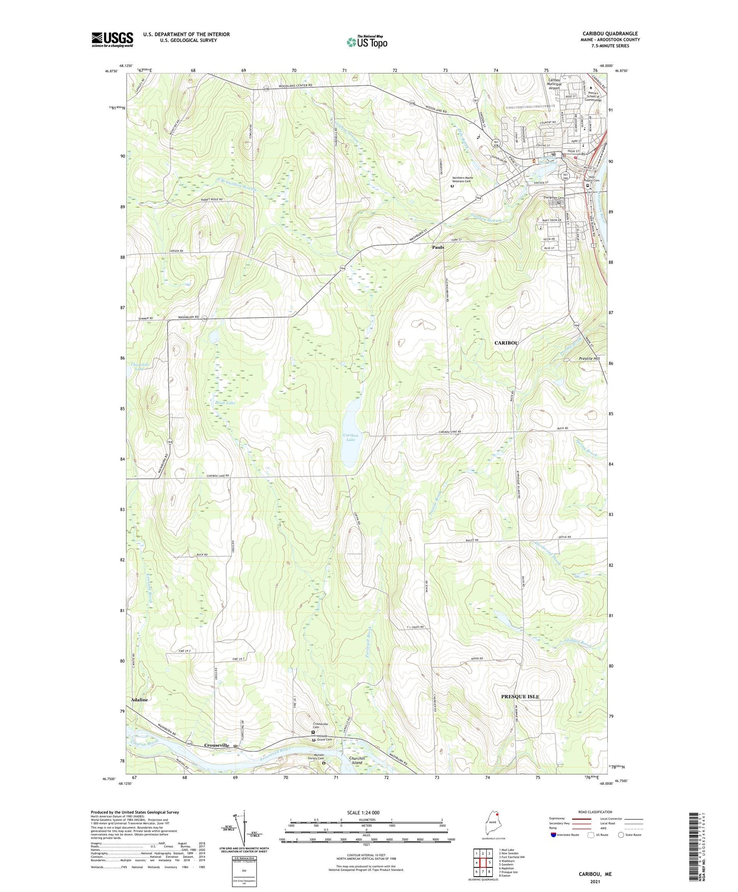
2024 topographic map quadrangle Caribou in the state of Maine. Scale: 1:24000. Based on the newly updated USGS 7.5' US Topo map series, this map is in the following counties: Aroostook. The map contains contour data, water features, and other items you are used to seeing on USGS maps, but also has updated roads and other features. This is the next generation of topographic maps. Printed on high-quality waterproof paper with UV fade-resistant inks.
Quads adjacent to this one:
West: Washburn
Northwest: Mud Lake
North: New Sweden
Northeast: Fort Fairfield NW
East: Goodwin
Southeast: Easton
South: Presque Isle
Southwest: Mapleton
This map covers the same area as the classic USGS quad with code o46068g1.
Contains the following named places: Access Highway Shopping Center, Adaline, Aroostook County Law Library Caribou, Aroostook Episcopal Church, Aroostook River Reservoir, Assembly of God Church, Camp Nomacca, Caribou, Caribou Dam, Caribou Fire Department and Ambulance Department, Caribou High School, Caribou Lake, Caribou Middle School, Caribou Mill Pond, Caribou Mill Pond Dam, Caribou Municipal Airport, Caribou Police Department, Caribou Post Office, Caribou Public Library, Caribou Regional Applied Technical Center, Caribou Regional Technology Center School, Caribou Skyway Plaza Shopping Center, Caribou Stream, Churchill Brook, Churchill Island, Churchill Lake, Clayton Brook, Crouseville, Crouseville Cemetery, Crouseville Post Office, Downtown Mall Shopping Center, Evergreen Cemetery, Glidden School, Hillside Grove Cemetery, Hilltop Elementary School, Holy Rosary Cemetery, Kennard Brook, Mile Brook, Munson Christy Cemetery, North Lakes Fire and Rescue, Northern Maine Veterans Cemetery, Nylander Museum, Pauls, Pierre's School of Cosmetology, Pratt Lake, Prestile Hill, Saint Lukes Episcopal Church, Snowman School, South Branch Caribou Stream, Sweden Street Plaza Shopping Center, Teague Park School, Town of Washburn, Unitarian Universalist Church, United Baptist Church, Vance School


