MyTopo
Enchanted Pond Maine US Topo Map
Couldn't load pickup availability
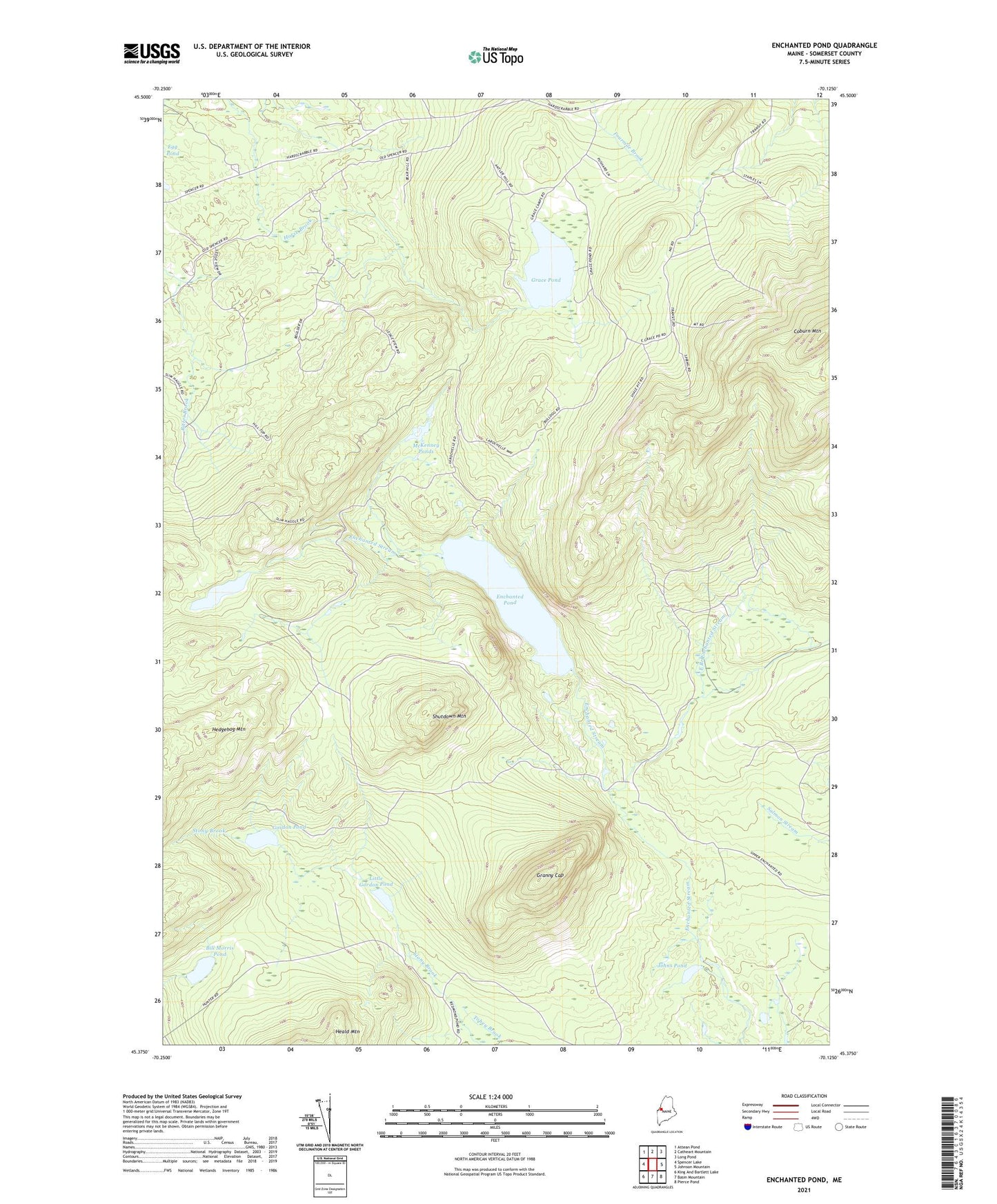
2024 topographic map quadrangle Enchanted Pond in the state of Maine. Scale: 1:24000. Based on the newly updated USGS 7.5' US Topo map series, this map is in the following counties: Somerset. The map contains contour data, water features, and other items you are used to seeing on USGS maps, but also has updated roads and other features. This is the next generation of topographic maps. Printed on high-quality waterproof paper with UV fade-resistant inks.
Quads adjacent to this one:
West: Spencer Lake
Northwest: Attean Pond
North: Catheart Mountain
Northeast: Long Pond
East: Johnson Mountain
Southeast: Pierce Pond
South: Basin Mountain
Southwest: King And Bartlett Lake
This map covers the same area as the classic USGS quad with code o45070d2.
Contains the following named places: Bill Morris Pond, Bulldog Camps, Coburn Mountain, East Branch Enchanted Stream, Enchanted Pond, Gordon Pond, Grace Pond, Grace Pond Camp, Granny Cap, Johns Pond, Little Enchanted Pond, Little Gordon Pond, McKenney Ponds, Shutdown Mountain, Upper Enchanted Township