MyTopo
Lookout Mountain Maine US Topo Map
Couldn't load pickup availability
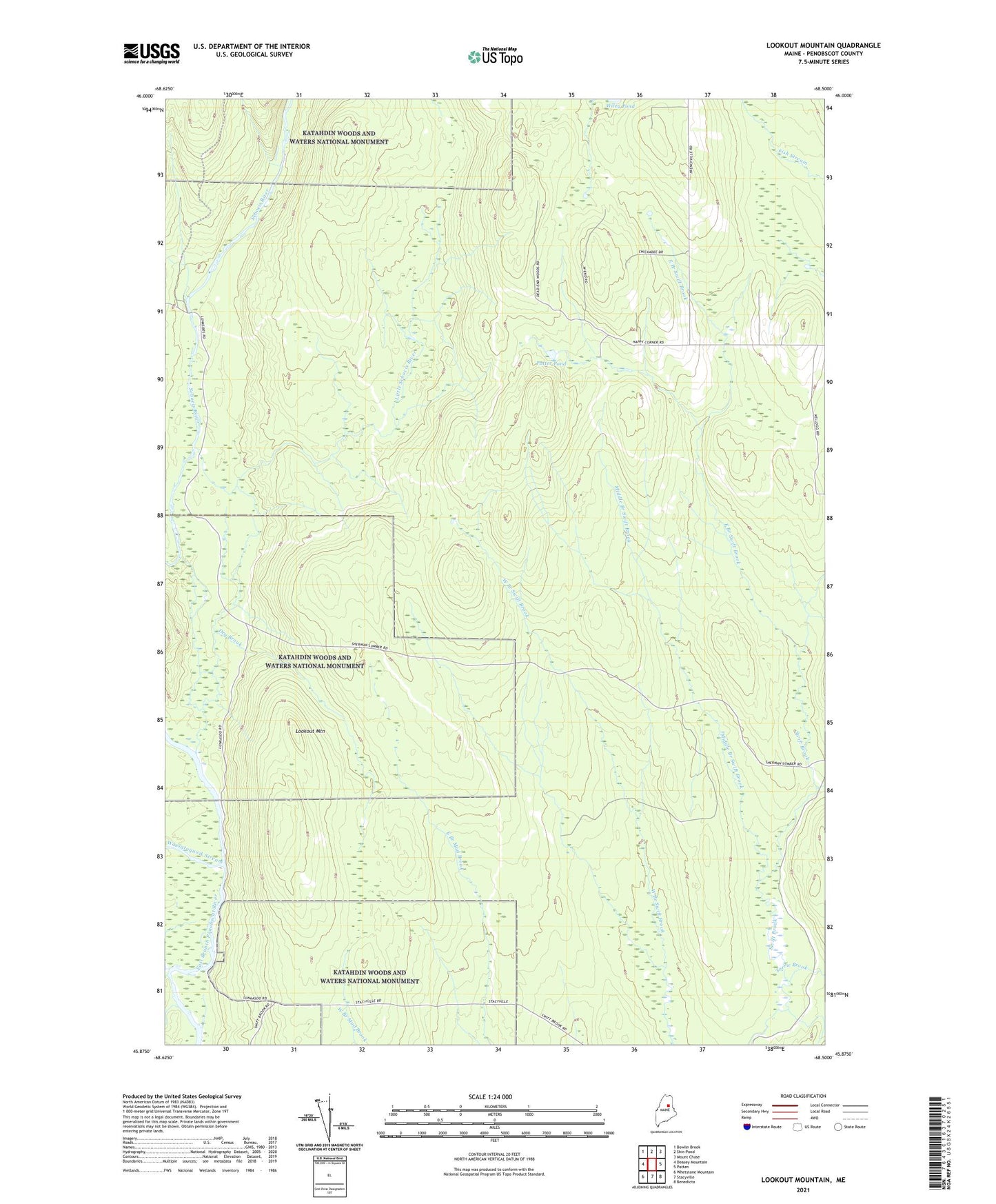
2024 topographic map quadrangle Lookout Mountain in the state of Maine. Scale: 1:24000. Based on the newly updated USGS 7.5' US Topo map series, this map is in the following counties: Penobscot. The map contains contour data, water features, and other items you are used to seeing on USGS maps, but also has updated roads and other features. This is the next generation of topographic maps. Printed on high-quality waterproof paper with UV fade-resistant inks.
Quads adjacent to this one:
West: Deasey Mountain
Northwest: Bowlin Brook
North: Shin Pond
Northeast: Mount Chase
East: Patten
Southeast: Benedicta
South: Stacyville
Southwest: Whetstone Mountain
This map covers the same area as the classic USGS quad with code o45068h5.
Contains the following named places: Dry Brook, East Branch Swift Brook, Hunt Farm, Little Seboeis River, Lookout Mountain, Lunksoos Camp, Middle Branch Swift Brook, Potter Pond, Sandbank Stream, Torrie Brook, Wassataquoik Stream