MyTopo
Monarda Maine US Topo Map
Couldn't load pickup availability
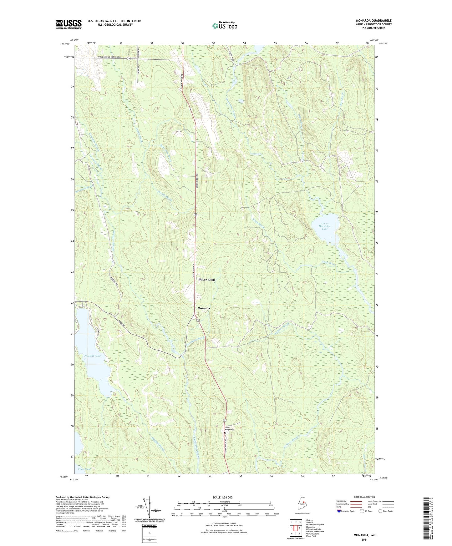
2024 topographic map quadrangle Monarda in the state of Maine. Scale: 1:24000. Based on the newly updated USGS 7.5' US Topo map series, this map is in the following counties: Aroostook. The map contains contour data, water features, and other items you are used to seeing on USGS maps, but also has updated roads and other features. This is the next generation of topographic maps. Printed on high-quality waterproof paper with UV fade-resistant inks.
Quads adjacent to this one:
West: Benedicta
Northwest: Patten
North: Crystal
Northeast: Mattawamkeag Lake
East: Wytopitlock Lake
Southeast: Reed Pond
South: Molunkus Lake
Southwest: Salmon Stream Lake
This map covers the same area as the classic USGS quad with code o45068g3.
Contains the following named places: Bear Brook, Burnham Brook, Connerly Brook, Dennitt Brook, Gross Brook, Haley Brook, Logan Brook, Lower Macwahoc Lake, Monarda, Plunkett Pond, Saint John Brook, Silver Ridge, Silver Ridge Cemetery, Silver Ridge Township, Spaulding Brook, Woodbridge Corner, ZIP Code: 04776