MyTopo
Salmon Stream Lake Maine US Topo Map
Couldn't load pickup availability
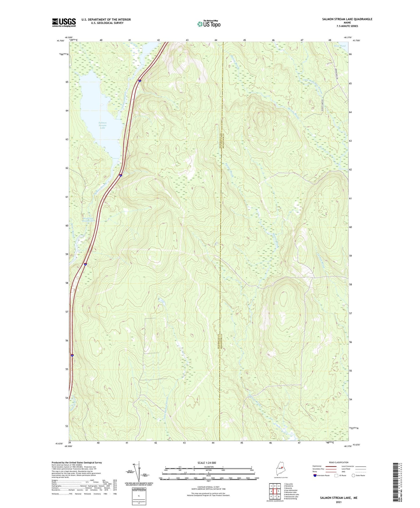
2024 topographic map quadrangle Salmon Stream Lake in the state of Maine. Scale: 1:24000. Based on the newly updated USGS 7.5' US Topo map series, this map is in the following counties: Penobscot, Aroostook. The map contains contour data, water features, and other items you are used to seeing on USGS maps, but also has updated roads and other features. This is the next generation of topographic maps. Printed on high-quality waterproof paper with UV fade-resistant inks.
Quads adjacent to this one:
West: East Millinocket
Northwest: Stacyville
North: Benedicta
Northeast: Monarda
East: Molunkus Lake
Southeast: Mattawamkeag
South: Mattaseunk Lake
Southwest: Medunkeunk Lake
This map covers the same area as the classic USGS quad with code o45068f4.
Contains the following named places: Flinn Pond Brook, Hersey Brook, Miner Brook, Mud Brook, Salmon Stream Lake, T1 R6 WELS, Wadleigh Deadwater, West Branch Little Molunkus Stream