MyTopo
Wytopitlock Lake Maine US Topo Map
Couldn't load pickup availability
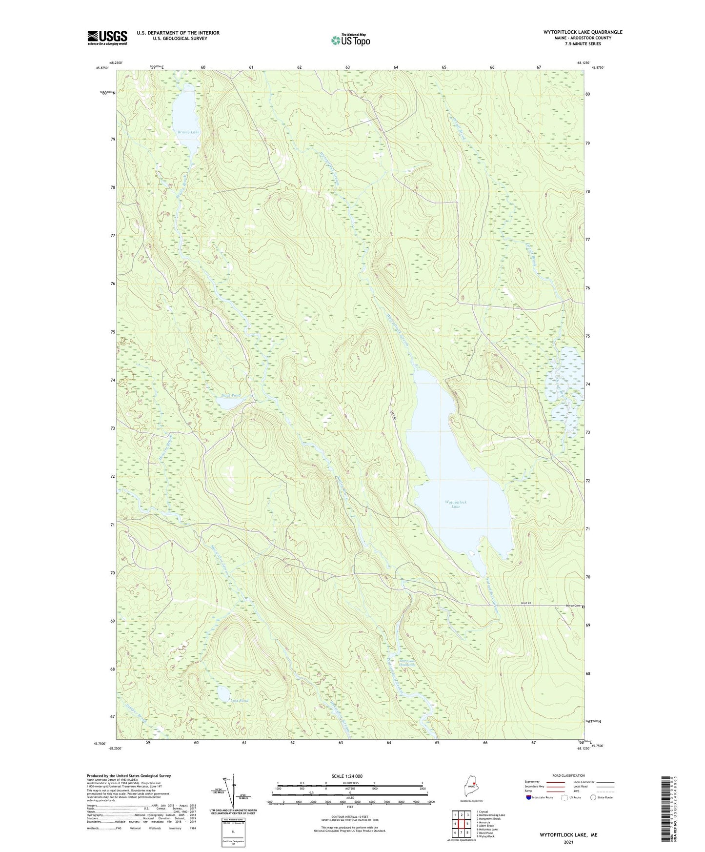
2024 topographic map quadrangle Wytopitlock Lake in the state of Maine. Scale: 1:24000. Based on the newly updated USGS 7.5' US Topo map series, this map is in the following counties: Aroostook. The map contains contour data, water features, and other items you are used to seeing on USGS maps, but also has updated roads and other features. This is the next generation of topographic maps. Printed on high-quality waterproof paper with UV fade-resistant inks.
Quads adjacent to this one:
West: Monarda
Northwest: Crystal
North: Mattawamkeag Lake
Northeast: Monument Brook
East: Alder Brook
Southeast: Wytopitlock
South: Reed Pond
Southwest: Molunkus Lake
This map covers the same area as the classic USGS quad with code o45068g2.
Contains the following named places: Braley Brook, Braley Lake, Duck Pond, Hemore Brook, Long Dam, Lost Pond, Moores Dam, Orcutt Brook, Pierce Cemetery, T2 R4 WELS, Thompson Deadwater, Unorganized Territory of South Aroostook, Wytopitlock Lake